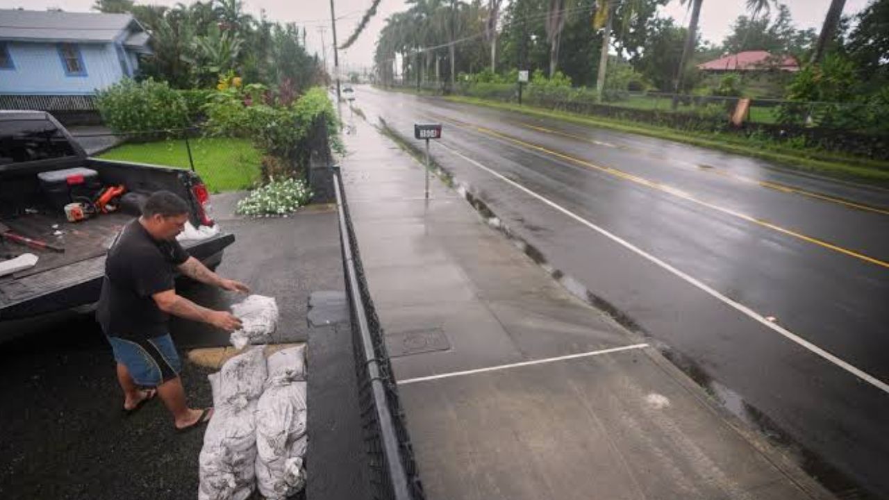
Dallas, Texas — Hurricane Polo’s tropical moisture is expected to fuel a widespread flooding threat across the Southwest and Texas this week, with heavy rain spreading from the Four Corners into the Plains and Midwest over several days.
The combination of Polo’s moisture and a deep-dropping jet stream over the Southwest is expected to create a setup capable of producing repeated showers, thunderstorms and potentially dangerous flash flooding.
The rainfall could eventually help fuel a more active weather pattern farther east as moisture spreads across a large portion of the country.
Hurricane Polo Could Dump Up to a Foot of Rain in Mexico
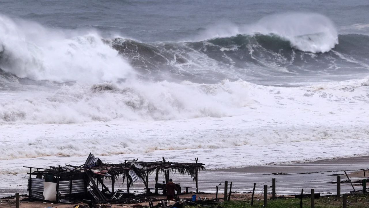
Before its moisture reaches the United States, Polo is expected to cross Baja California and northwestern mainland Mexico through early Tuesday.
The storm could produce as much as 12 inches of rainfall across parts of the region, increasing the risk of flash flooding and mudslides.
Once the storm’s tropical moisture begins moving into the United States, several areas could receive 3 to 5 inches of rain over the coming week.
For parts of the Southwest, that amount of rainfall can be enough to cause significant flooding. The region is also typically much drier at this time of year, meaning some locations could receive more than a month’s worth of rain from a single weather event.
Tropical Moisture Will Spread Across the Southwest
Polo’s moisture is expected to move slowly, keeping the potential for showers and thunderstorms in place across multiple days.
The initial threat will focus on the Southwest, before gradually expanding into the Southern Plains and eventually farther east.
Through early Tuesday morning, the greatest concern will cover portions of Arizona, New Mexico, Utah and Colorado. However, the potential for flooding will stretch from parts of California all the way to Wyoming.
Because the moisture will be slow-moving, repeated rainfall could create problems even in areas that do not experience one extremely intense storm.
Tuesday Brings a Wider Flood Threat
By Tuesday, the flooding threat is expected to expand northward and eastward into the Plains.
Nearly a dozen states could face some level of flash-flood risk, with Arizona, New Mexico, Colorado, Kansas, Oklahoma and the Texas Panhandle among the areas facing greater concern.
The tropical moisture could reach remarkably far north, extending into Minnesota, where forecasters are also watching the potential for flash flooding.
The expanding rainfall zone means the threat will not remain limited to the Southwest as Polo’s moisture continues spreading across the country.
Dallas Faces Greater Flood Risk Wednesday
The flood threat is expected to shift farther east on Wednesday.
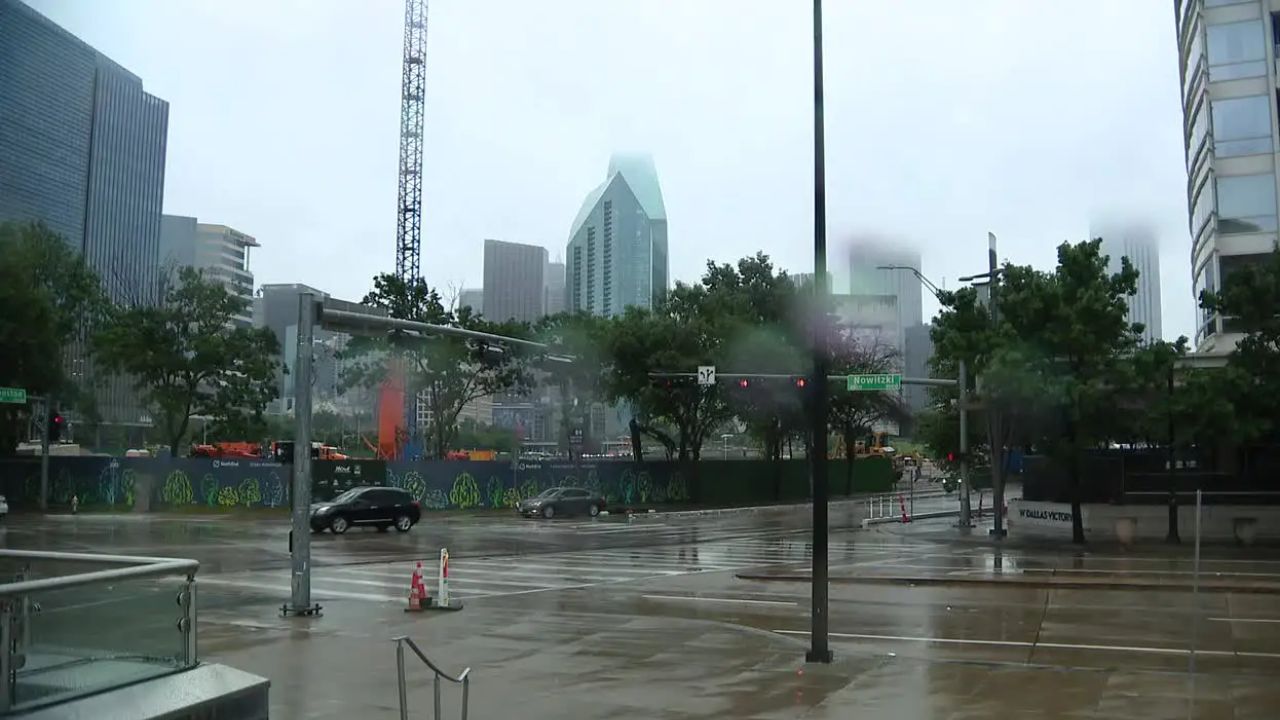
More of Texas, Oklahoma and Iowa could come under the influence of the moisture-rich pattern, while Dallas is expected to face one of the more significant flooding threats of the day.
At the same time, tropical moisture could reach as far north as Wisconsin, where flash flooding will also be possible.
For Dallas and surrounding parts of Texas, repeated thunderstorms could become especially concerning if storms track over the same locations.
Flood Threat Extends Toward the Great Lakes
By Thursday, the threat is expected to continue pushing eastward.
The Southern Plains and Great Lakes could become increasingly involved, with the potential flood zone stretching from Texas to Michigan.
Another area of heavy rainfall is expected across parts of Texas, including Dallas, keeping the region under an elevated concern for additional flooding.
The prolonged nature of the rainfall may become just as important as the intensity of any individual storm. Ground that becomes saturated during earlier rounds of rain will have less capacity to absorb additional water.
Never Drive Through Flooded Roads
With flash flooding possible across multiple states, safety officials are urging drivers to take warnings seriously. Never attempt to drive through a flooded roadway, even if the water does not appear particularly deep.
It can be extremely difficult to judge water depth from inside a vehicle, especially at night. Fast-moving water can also stall or sweep away a vehicle much more quickly than drivers expect.
The National Weather Service’s warning remains simple:
“Turn around. Don’t drown.”
A flash flood warning means flooding is already occurring or expected to develop, based on rainfall rates, radar information and other weather data.
If a flash flood warning is issued, avoid unnecessary travel and move away from flood-prone areas whenever possible. If a flash flood emergency is declared, the situation is considered especially dangerous and people in vulnerable locations should move to higher ground immediately.
Is your area in the path of Hurricane Polo’s tropical moisture this week? Tell us your city and state in the comments and let us know whether heavy rain or flooding is already becoming a concern where you live.
2 thoughts on “Hurricane Polo’s Moisture Could Trigger Major Flooding Across Texas and the Southwest This Week”