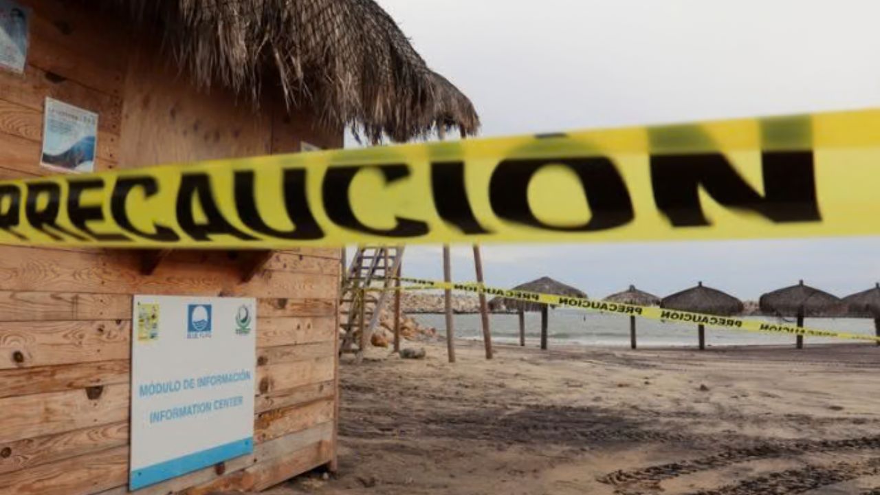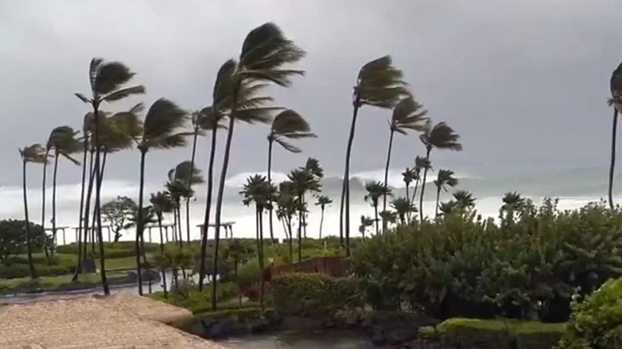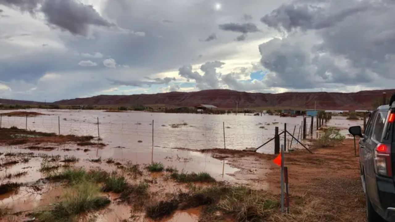
Dallas, Texas — A dangerous multiday flood event is taking shape across the Southwest, Southern Plains and Midwest, with tropical moisture expected to spread northward and fuel heavy rainfall across as many as 20 states this week.
The developing weather pattern will combine moisture from Hurricane Polo and the remnants of Odalys with a large-scale storm system moving across the western and central United States. Several areas could experience repeated rounds of heavy rain, with some locations potentially receiving 6 to 8 inches or more during the event.
The threat comes during an active monsoon season in the Southwest, where deadly flooding has already affected parts of New Mexico and Grand Canyon National Park.
Tropical Moisture Will Arrive Before the Main Storm
The first major concern involves a weather setup known as a precipitation event, or PRE, which occurs when deep tropical moisture moves northward ahead of a tropical system and interacts with a stalled or slow-moving weather boundary.
That is expected to happen this week as moisture associated with Polo moves into the Southwest while an upper-level trough approaches from the west.
The combination could create an environment capable of producing long-lasting, heavy rainfall before the main storm system arrives.
Southern California and Arizona are expected to see heavy rain first, with the moisture then spreading into New Mexico, Utah and Colorado.
Rainfall totals of 1 to 2 inches or more are possible, with locally higher amounts.
Arizona and New Mexico Face Early Flooding
Some of the most vulnerable areas will include Ruidoso, wildfire burn scars, desert washes and the Grand Canyon region.
Burn scars remain especially susceptible to flash flooding because wildfire damage can leave the ground unable to absorb heavy rainfall efficiently. Desert washes can also rise rapidly when intense thunderstorms drop large amounts of rain in a short period.
The Southwest has already experienced deadly flooding this season, making the additional tropical moisture particularly concerning.
As rainfall spreads across the region, repeated thunderstorms could create localized areas where rainfall totals climb significantly higher than surrounding locations.
Flood Threat Expands Into Texas and Oklahoma
By Tuesday, the threat is expected to expand eastward.
Tropical moisture will push into eastern New Mexico, the Texas Panhandle and Oklahoma Panhandle, with rainfall rates potentially becoming extremely intense.
Some storms could produce more than 1 to 2 inches of rain per hour, while rainfall totals could exceed 3 inches across parts of the Panhandles.
The heaviest-hit locations could receive 3 to 6 inches or more, particularly where thunderstorms repeatedly move over the same areas. The scale of Tuesday’s threat is notable. If the area included within the day’s Level 3 flash flood risk were considered a state, it would rank as the third-largest state in the country, behind Alaska and Texas.
Dallas Could Face a Sudden Flood Threat
The forecast becomes particularly significant for Dallas as the tropical moisture spreads farther east.
By Wednesday and Thursday, the flood threat is expected to shift across Texas and the Plains, with heavy rainfall moving toward Oklahoma and eventually the Midwest.
Dallas, Oklahoma City and the Texas Hill Country are among the areas that could receive significant rainfall.
Parts of Texas could see another 2 to 3 inches of rain per day, although locally higher amounts will be possible where thunderstorms repeatedly track across the same areas.
For Dallas, the setup represents a dramatic change.
The city has not recorded measurable rainfall of at least 0.01 inches since July 16. Now, Dallas is positioned within a forecast Level 3 out of 4 flood-risk area beginning Wednesday.
That rapid transition from an extended dry period to potentially significant rainfall could create additional problems as the event unfolds.
Midwest Could See Heavy Rain by Late Week
By the latter part of the week, the heavy rainfall threat could spread much farther north and east.
The developing system could bring widespread rain from the Texas-Mexico border toward the Great Lakes, potentially affecting communities across a broad section of the central United States.
Hurricane Polo’s Moisture Could Trigger Major Flooding Across Texas and the Southwest This Week
Across the full event, 6 to 8 inches or more of rain could fall in some locations, with even higher totals possible where thunderstorms repeatedly pass over the same areas.
That repeated-storm threat is one of the biggest concerns because rainfall does not need to fall evenly across a region to produce dangerous flooding.
Forecast Confidence Is Drawing Attention
The Weather Prediction Center rarely issues such a high-level flood threat this far ahead of time.
Its outlooks extend out to five days, and a Level 3 out of 4 threat on Day 5 is considered very unusual. According to the forecast information, that level of advance concern has occurred only a handful of times since 2021.
The combination of tropical moisture, an approaching upper-level trough and potentially slow-moving thunderstorms is creating the setup for a prolonged rainfall event.
Residents across the Southwest, Southern Plains and eventually the Midwest should pay close attention to changing forecasts throughout the week.
Is heavy rain expected where you live this week? Share your city and state in the comments and let us know whether you’re preparing for the potential flooding threat.