
Phoenix, Arizona — Hurricane Polo is expected to send a surge of tropical moisture into the southwestern United States this week, raising the risk of major flash flooding across a broad area from the Southwest into parts of the Plains.
Before reaching the U.S., Polo is forecast to bring damaging winds, flooding rainfall and dangerous seas to Baja California and parts of Mexico. The storm’s moisture will then move northward into the United States, potentially producing several days of heavy rain and flash flooding.
For parts of the Southwest, forecasters warn that rainfall totals could reach 3 to 5 inches, an unusually large amount for the region at this time of year.
Hurricane Polo Nears Baja California
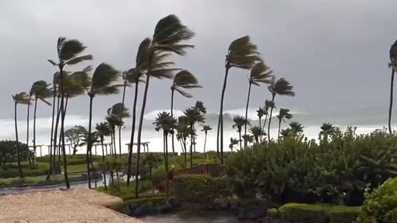
Hurricane Polo is currently located less than 300 miles west of Cabo San Lucas, Mexico, with sustained winds of 125 mph.
The storm is expected to move toward the Baja California coast, with landfall forecast for Monday afternoon.
Polo could produce up to a foot of rainfall across parts of Baja California, creating the potential for dangerous flash flooding and mudslides. The combination of heavy rain, powerful winds and rough seas could make conditions especially hazardous along the coast.
As Polo approaches, residents in vulnerable areas will need to monitor local warnings and prepare for rapidly changing conditions.
Tropical Moisture Will Move Into the Southwest
The bigger concern for the United States will come after Polo’s moisture begins moving northward.
A large plume of deep tropical moisture is expected to funnel into the Southwest during the first half of the week, creating conditions capable of producing widespread heavy rainfall.
The threat is expected to cover a large area rather than being confined to a single state.
Forecasters are watching portions of California, Arizona, New Mexico, Utah, Colorado and Texas, with the potential for the flooding threat to expand farther north and east.
Because many areas across the Southwest normally receive relatively little rainfall during this time of year, even several inches of rain could overwhelm drainage systems and rapidly fill normally dry washes and streams.
Monday Brings the First Major Flood Threat
The initial U.S. flood threat is expected Monday.
The greatest concern is focused across portions of Arizona, New Mexico, Utah and Colorado, although the broader rainfall threat could stretch from parts of California all the way to Texas.
Some areas could experience intense downpours capable of producing flash flooding in a short amount of time.
The risk is particularly concerning in desert and mountainous areas, where water can quickly collect in normally dry channels and move downstream with little warning.
Flood Risk Expands Tuesday
The threat is expected to shift and expand Tuesday as tropical moisture spreads farther north and east.
Nearly a dozen states could face a flash-flood threat, with Arizona, New Mexico and Texas among the areas facing the greatest concern.
The moisture could travel much farther north than the core of the storm itself. Parts of the Plains could see increasingly heavy rainfall, while tropical moisture could reach as far north as Minnesota.
That means the effects of Polo could extend hundreds of miles away from the storm itself.
Across the week ahead, some areas could receive 3 to 5 inches of rain, and isolated locations could receive even more. For portions of the Southwest, that could amount to more than a month’s worth of typical rainfall in a matter of days.
Flash Flooding Could Become Dangerous Quickly
Residents should take any flash flood warnings seriously, especially when heavy rain begins falling overnight.
Dangerous Weekend Weather Takes Shape as Hawaii and the Northeast Brace for Major Storms
The National Weather Service’s most important safety message remains:
“Turn around. Don’t drown.”
Drivers should never attempt to cross a flooded roadway, even if the water appears shallow.
It can be difficult to determine how deep floodwater actually is, particularly at night. Water can also move faster than expected and can enter a vehicle within minutes or even seconds.
A road that appears passable could quickly become dangerous.
Know the Difference Between Flood Warnings
A Flash Flood Warning means flash flooding is occurring or expected to develop based on rainfall rates, radar trends and other available information.
When one is issued, residents in potentially affected areas should immediately assess their surroundings and avoid unnecessary travel.
A Flash Flood Emergency signals an even more dangerous situation, with severe or life-threatening flooding occurring or imminent.
Anyone in a flood-prone location should move to higher ground immediately and avoid traveling through flooded areas.
As Hurricane Polo moves toward Mexico and its moisture begins spreading into the United States, residents across the Southwest and Plains should stay alert for changing forecasts and local warnings.
Is your area expected to see rain from Hurricane Polo’s moisture? Tell us your city and state in the comments and share how your community is preparing for the potential flooding.

One thought on “Hurricane Polo Could Unleash a Major Flood Threat Across the Southwest as Tropical Moisture Spreads Into the U.S.”