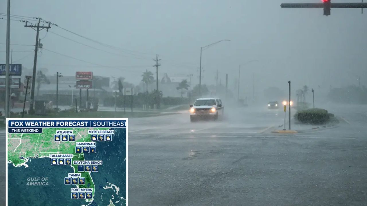
Tampa, Florida — Repeated rounds of heavy rain and flooding downpours are expected across the Southeast this week, with tropical moisture continuing to fuel dangerous rainfall while another area of tropical moisture could organize over the Gulf Coast.
Heavy rain has already caused flash flooding across portions of the Gulf Coast over the weekend. Now, additional moisture is expected to move across the region, raising concerns for more flooding in communities where the ground is already saturated.
The heaviest rainfall is expected across parts of Florida, Alabama, Georgia, Louisiana and the Gulf Coast, with the threat potentially expanding farther north later in the week.
Southeast Faces Another Round of Flooding Rain
A stalled weather front is helping keep tropical moisture focused across the Southeast, creating an environment capable of producing repeated heavy downpours.
Through Sunday night, 2 to 4 inches of rain is expected across a broad area stretching from eastern Texas to the Florida Panhandle. Even heavier rainfall is forecast from New Orleans to Panama City, Florida, where totals could reach 4 to 8 inches.
The greatest flash-flooding risk through Sunday night is expected to extend from eastern Texas across much of the Southeast and into southern Virginia.
Because some areas have already received significant rainfall, additional downpours could quickly overwhelm drainage systems and cause water levels to rise.
Florida Could See Intense Rainfall
The flooding threat is expected to continue into the first half of the workweek.
Another surge of tropical moisture is forecast to move across much of the Florida Peninsula from Monday into Wednesday morning as the stalled boundary shifts slightly south.
Forecasters say rainfall rates could reach 1 to 3 inches per hour during the heaviest downpours.
Rainfall totals of 1 to 2 inches are expected from Tampa through central Georgia and southern Alabama and across much of the Florida Panhandle.
A heavier corridor stretching from Panama City to Jacksonville could receive 2 to 4 inches, while some portions of northern Florida could see 4 to 8 inches where the most persistent downpours develop.
The AccuWeather Local StormMax™ is 14 inches, highlighting the possibility of locally extreme rainfall.
Saturated Ground Could Make Flooding Worse
The biggest concern is not simply how much rain falls, but how quickly it arrives.
With substantial rainfall already affecting parts of the region, additional heavy downpours could trigger flash flooding in low-lying and poor-drainage areas.
Water could quickly collect on roads, creating dangerous driving conditions and reducing visibility. Travel delays are possible, particularly along the Interstate 10 corridor, where heavy rain and standing water could make travel hazardous.
Repeated thunderstorms over the same location would be especially concerning because they could dump several inches of rain in a short period.
Tropical Development Could Become a New Concern
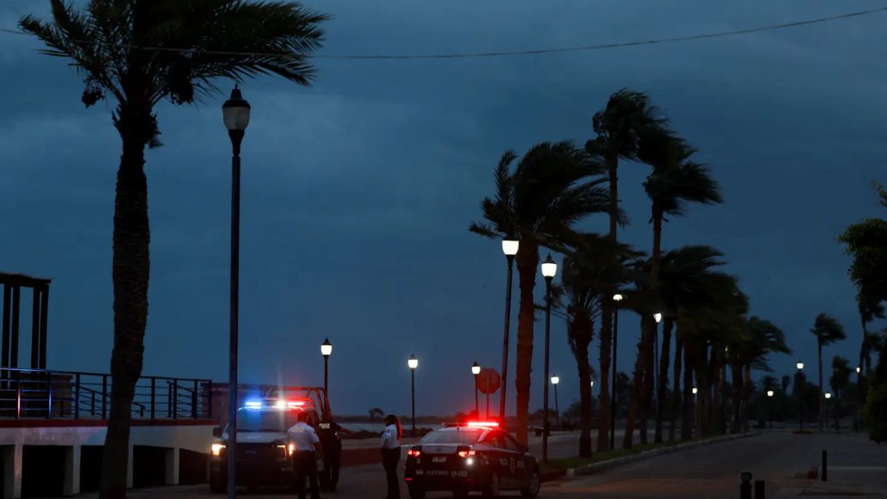
The weather pattern could become even more complicated later this week as tropical moisture gathers over the Gulf.
A cluster of showers and thunderstorms in the southern Gulf and Bay of Campeche could become better organized, potentially developing into a tropical rainstorm before strengthening further.
“By later this week, a cluster of showers and thunderstorms in the southern Gulf and Bay of Campeche may organize into a tropical rainstorm and could eventually strengthen into a tropical depression or tropical storm,” Meteorologist said. “The waters across the Gulf of America are very warm, but stronger wind shear farther north across the Gulf may limit development potential.”
The exact likelihood of development remains uncertain, but very warm Gulf waters could provide fuel for additional tropical activity if other environmental conditions become favorable.
Gulf Coast Could See More Heavy Rain Either Way
Even if the disturbance fails to develop into a named tropical system, the Gulf Coast could still face significant weather impacts.
Tropical moisture is expected to spread across portions of the Gulf Coast toward the end of the week, potentially producing another round of drenching showers and thunderstorms.
For communities that have already received heavy rainfall, that could be enough to cause renewed flash flooding.
The concern could become particularly serious if storms repeatedly move across the same areas, allowing rainfall to accumulate faster than the ground and drainage systems can handle it.
Flood Threat Could Expand Next Weekend
The rainfall threat may not end with the Gulf Coast. By next weekend, tropical moisture could spread farther north into parts of the Mid-Atlantic, central Appalachians and Ohio Valley.
That could bring flooding downpours to a much larger area and extend the period of concern well beyond the Southeast.
Flash flooding is expected to remain the primary hazard, particularly in locations where thunderstorms repeatedly track over the same communities.
With multiple rounds of tropical moisture expected, residents across the Southeast and Gulf Coast should remain alert for changing conditions throughout the week.
Is your area already dealing with heavy rain or flooding? Share your city and state in the comments and let us know how much rain you’ve received so far.
One thought on “Gulf Coast on Alert: Tropical System Could Develop as Flooding Rain Spreads Across the Southeast”