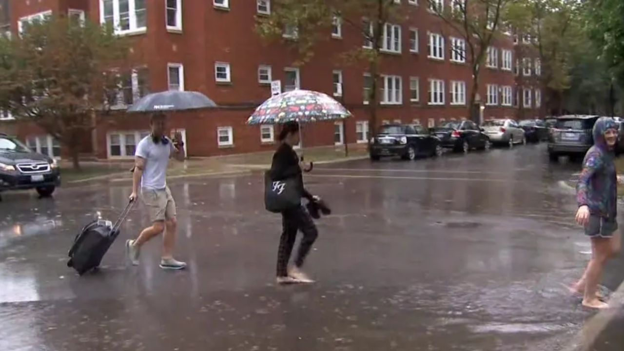
Dallas, Texas — The rain is moving out of North Texas, clearing the way for cooler conditions Monday morning before temperatures gradually climb through the week. After scattered showers covered parts of the Dallas-Fort Worth area for much of the morning and afternoon, the wet weather is expected to shut down tonight.
As clouds begin to break apart, temperatures will fall into the middle 60s across much of North Texas by Monday morning, creating a noticeably cooler and more comfortable start to the week.
For residents who have been dealing with the recent rain, the upcoming stretch should bring a welcome change.
Rain Moves Out Tonight
Scattered showers affected much of the DFW area during the day, but the rainfall is expected to taper off as the evening progresses. Once the rain moves away, skies should gradually clear. The decrease in cloud cover will allow temperatures to cool more efficiently overnight.
That means Monday morning could feel particularly pleasant, with temperatures dropping into the mid-60s across much of North Texas.
The cooler morning will offer a brief taste of fall-like weather before temperatures begin rising again.
Warmer Temperatures Return During the Week
Sunshine will become the dominant feature of the forecast as the week gets underway.
With clearer skies returning, temperatures will steadily warm through the week. Afternoon highs are expected to reach the low to mid-80s, which is close to normal for this time of year.
While it will certainly be warmer than Monday morning, the forecast does not suggest a return to the oppressive heat experienced during September. Instead, the combination of sunshine and temperatures in the 80s should make for a relatively comfortable week across the DFW area.
Yes, it will be warm—but it will not be like September.
For anyone hoping to enjoy outdoor activities, the upcoming weather pattern could provide several opportunities without the extreme heat that can make early fall feel more like summer in North Texas.
Most of the Week Looks Dry
The extended forecast is also looking relatively quiet.
At this time, rain chances are being kept out of most of the 14-day forecast, meaning widespread rainfall is not expected to return anytime soon. There could be an isolated exception late in the week.
Forecast guidance suggests a shower or two could develop Thursday across the far southern counties, but the chances remain limited. That would be a much different setup from the widespread rain that recently moved through the region.
Gulf Coast on Alert: Tropical System Could Develop as Flooding Rain Spreads Across the Southeast
Weekend Rain Chance Remains Low
Attention will also turn toward the upcoming weekend, although there is not much rain to worry about at this point.
Forecasters are keeping an eye on a low chance of rain over the weekend, but there is currently no indication of another major rain event similar to the one that just affected North Texas.
That means most DFW residents can expect a generally warmer and drier pattern to continue. The bigger story will be the gradual temperature climb after Monday’s cool start.
A Comfortable Week Ahead for North Texas
Overall, the weather pattern should become much calmer after the recent rain. Cool temperatures in the mid-60s Monday morning, plenty of sunshine and afternoon highs in the low to mid-80s will define much of the week across the Dallas-Fort Worth area.
While temperatures will trend warmer, the forecast remains far more comfortable than the heat North Texas experienced earlier in the season.
For now, residents can enjoy the cooler Monday morning before the warmer weather settles back in.
How are you feeling about the warmer temperatures returning to DFW? Do you prefer the cool fall-like mornings or the sunny 80-degree afternoons? Share your thoughts in the comments.