New York City, New York — The first major nor’easter of the season is expected to bring tropical-storm-like impacts across the New York City area this weekend, with strong winds, heavy rain, coastal flooding and beach erosion threatening to disrupt travel and daily routines.
New York Gov. Kathy Hochul has declared a State of Emergency for Nassau, Suffolk, New York City and Westchester ahead of the storm’s strongest impacts. A State of Emergency was also in effect across several coastal counties in New Jersey.
Meteorologists warned that the storm will be a prolonged event, lasting through multiple tide cycles and potentially creating flooding well beyond the immediate coastline.
“This will be a long-duration event through multiple tide cycles well into this weekend, leading to major coastal flooding and beach erosion as well as strong winds pushing on trees for a longer period of time,” Meteorologists said. “Expect not only coastal inundation from storm surge, but also areas of urban flooding away from the coast, as well as regional power outages.”
New York City Could See Its Worst Weather Saturday
New York City’s most challenging conditions are expected Saturday and Saturday night.
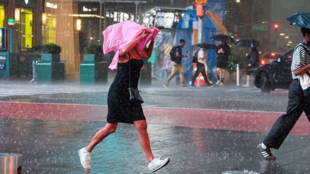
Wind gusts could reach 40 to 50 mph, while rainfall totals could reach 2 to 4 inches. The combination of strong winds and heavy rain could create difficult travel conditions throughout the city.
Gusty winds may knock down tree limbs and contribute to scattered power outages, while heavy rainfall could produce ponding on roads and other areas with poor drainage.
Conditions are expected to become even more severe farther south and east, particularly across Long Island and the New Jersey coast, where stronger winds and heavier rainfall are possible.
Coastal Flooding Could Become a Major Concern
Storm surge will be another significant concern as the nor’easter moves through the region.
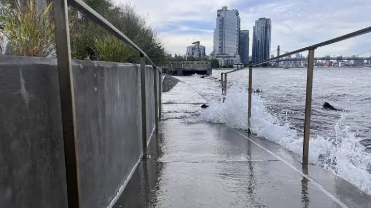
Coastal areas could experience 1 to 3 feet of storm surge, although water levels will vary considerably across New York City’s five boroughs depending on wind direction and local geography.
Some locations along Long Island Sound could see water levels rise above 3 feet. That includes parts of the eastern-facing Bronx coastline and northern-facing Queens coastline.
At Kings Point, the highest water levels are expected around the high tides at 11 a.m. Saturday, midnight Sunday and 11 a.m. Sunday, according to the forecast.
Similar water levels could occur across several high-tide cycles along the east-facing coastline of Staten Island and in Raritan Bay, New Jersey.
Battery Park Is Not Expected to Match Sandy Levels
Despite the significant coastal flooding threat, water levels at Battery Park in Manhattan are forecast to remain several feet below the record set during Superstorm Sandy.
The storm’s projected track and prevailing winds are expected to keep water levels there below the roughly 14-foot level recorded during Sandy.
That does not eliminate the possibility of flooding elsewhere. Different portions of the city could experience significantly different water levels depending on their exposure to the wind and surrounding waterways.
The nor’easter is also expected to linger around the New York City area for several days, potentially affecting travel and normal routines through the Monday morning commute.
Montauk Could Face the Strongest Winds
Farther east, Montauk is expected to experience some of the most powerful conditions on Long Island.
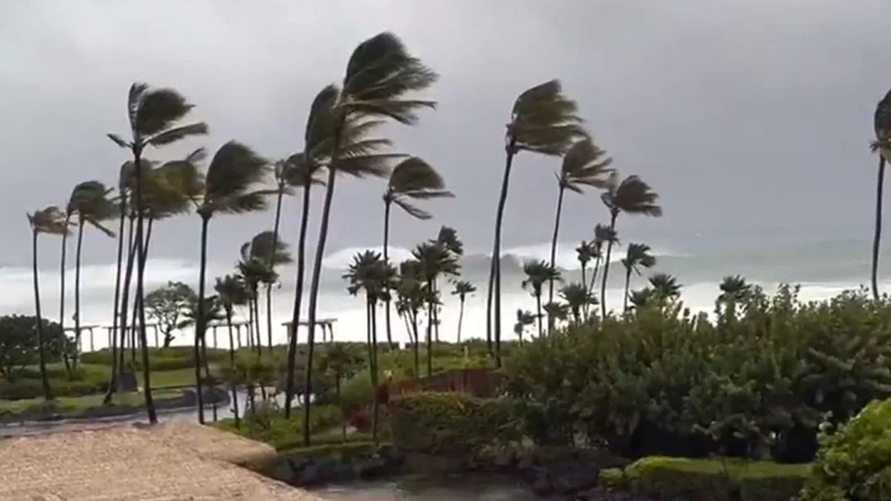
The eastern end of Long Island could see wind gusts between 60 and 80 mph, with winds potentially comparable to those associated with a strong tropical storm or Category 1 hurricane.
Winds that strong could topple trees, damage power lines and cause power outages across exposed areas.
Eastern Long Island is also expected to receive 3 to 5 inches of rain, an amount roughly comparable to the area’s historical average rainfall for the entire month of September.
Storm Surge Could Flood Coastal Roads
The combination of heavy rainfall and storm surge could make flooding particularly serious around Montauk and other coastal sections of eastern Long Island.
East Coast Braces for a Dangerous Nor’easter as 18-Foot Waves and Coastal Flooding Threaten Millions
Storm surge of 2 to 4 feet could combine with several inches of rain, creating flooding on roads and in other low-lying areas.
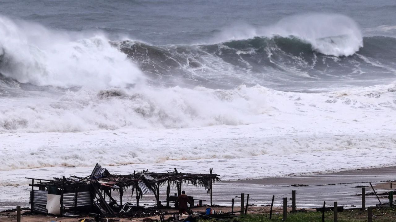
The powerful surf could also produce coastal erosion, especially along exposed beaches where waves repeatedly pound the shoreline.
Major Events Already Disrupted
The storm has already forced changes to major events across the region.
Saturday’s baseball game between Baltimore and New York was moved to Friday as part of a doubleheader to avoid the worst of the expected weather.
The Global Citizens Festival scheduled for Central Park’s Great Lawn was canceled, while the 2026 Hamptons Marathon was also canceled because of the approaching storm.
Are you in New York City, Long Island or another part of the Northeast? How are you preparing for the nor’easter this weekend? Share your location and weather conditions in the comments.