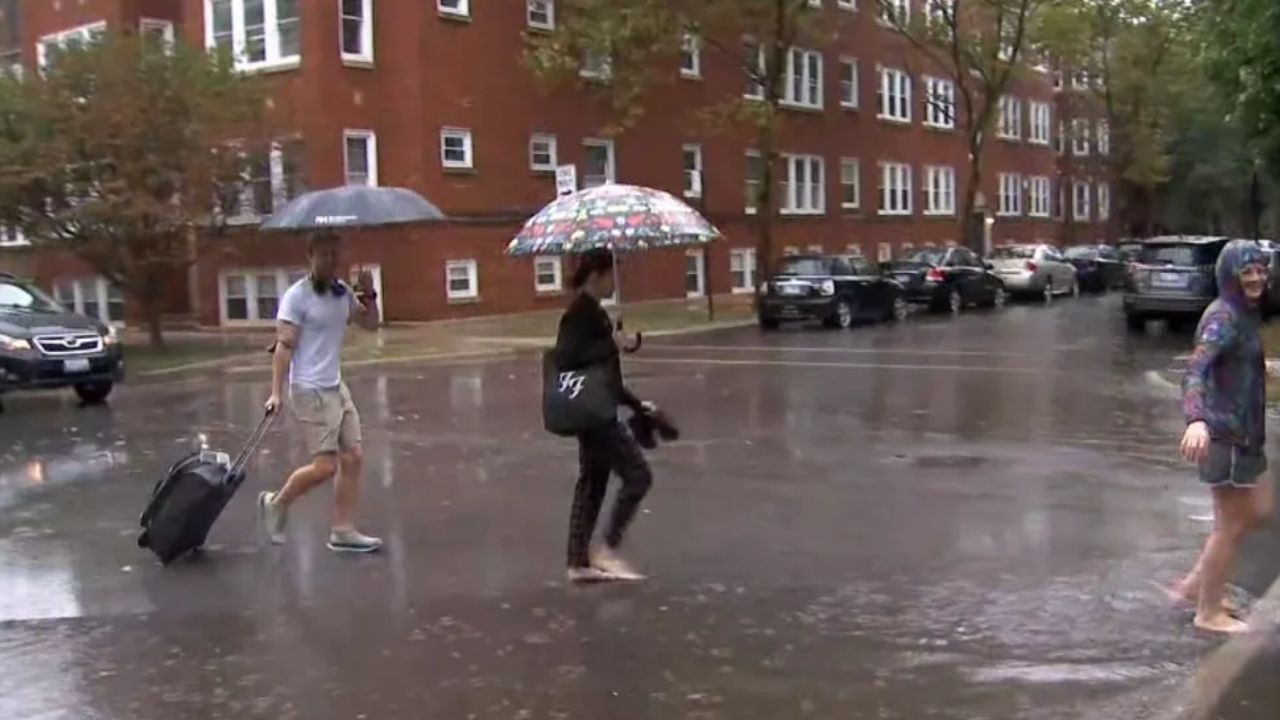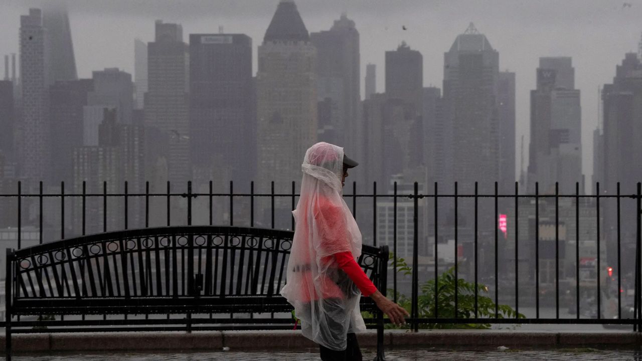
Salt Lake City, Utah — A storm system moving toward Utah is expected to bring several days of rain, gusty winds and thunderstorms from Wednesday through Friday, with the potential for flash flooding in parts of the state. The system could also bring accumulating snow to higher mountain elevations as colder air moves into northern Utah later in the week.
Forecasts indicate that rainfall totals could range from 0.50 to 2 inches across Utah, with the heaviest amounts possible in parts of southeastern Utah. The unsettled weather is expected to affect outdoor recreation areas, while temperatures could drop sharply before a cooler, fall-like weekend arrives.
Utah Weather Forecast for Wednesday
The storm system is expected to approach Utah as early as Wednesday morning, bringing increasing cloud cover and gusty southerly winds ahead of the main rainfall.
Scattered showers are forecast to develop across parts of southern and central Utah during the morning before spreading toward central areas through Wednesday evening.
Temperatures will remain relatively mild ahead of the storm. Highs are expected to reach the low to mid-70s along the Wasatch Front, while parts of southern Utah could see temperatures in the mid-70s.
However, the arrival of showers and increasing cloud cover will mark the beginning of a wetter weather pattern that is expected to continue into Thursday.
Far southern Utah could also face a limited risk of stronger thunderstorms Wednesday afternoon. While the broader severe weather threat is expected to remain mainly south of the state, a few isolated strong storms could develop near the Arizona border.
Thursday Could Bring the Heaviest Rain and Thunderstorms
Thursday is expected to be the main day of unsettled weather as the low-pressure system moves through Utah.
Waves of rain and a few thunderstorms could cross the state throughout the day, with some locations experiencing locally heavy downpours. Gusty southerly winds are also expected to continue as the system moves through.
Daytime temperatures will be noticeably cooler, with highs generally reaching the 50s and 60s across much of Utah.
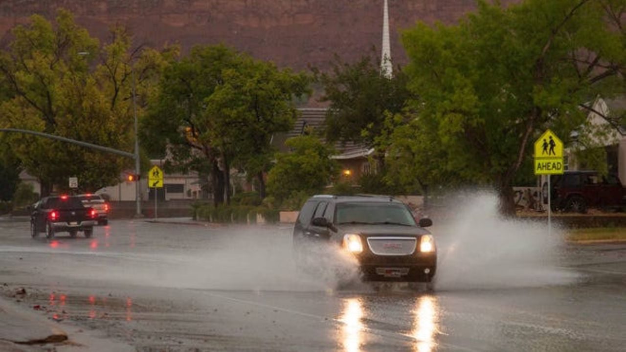
The combination of persistent rainfall and periods of heavier precipitation could increase the risk of runoff and localized flooding, particularly in areas that receive repeated downpours.
Forecasters expect the flash flood threat to remain elevated across much of southern Utah on Wednesday and Thursday. A Marginal Risk for flash flooding is also expected to extend into northern Utah on Thursday.
People visiting outdoor recreation areas should pay particular attention to changing weather conditions. Heavy rain can cause water levels to rise quickly in streams, washes and other low-lying locations.
Flash Flood Threat Could Affect Southern Utah
Southern Utah is expected to face some of the more significant flooding concerns during the storm.
Rainfall totals across the state are forecast to average between 0.50 and 2 inches, with the heaviest amounts potentially concentrated across portions of southeastern Utah.
The actual amount of rain will vary by location, and isolated areas could experience heavier downpours than surrounding communities.
Flash flooding can develop rapidly when intense rainfall falls over a short period, especially in locations with poor drainage or terrain that channels runoff into narrow waterways.
Visitors to hiking areas, canyon routes and other outdoor destinations should monitor local forecasts before heading out. Water can move quickly through normally dry washes, and crossing flooded roads or flowing water can be dangerous.
Motorists should also be prepared for reduced visibility, wet road surfaces and changing driving conditions during periods of heavy rain.
Mountain Snow Possible as Colder Air Arrives Friday
The weather pattern is expected to change again Friday as an upper-level low moves south across northern Utah.
Florida Weather Alert: Slow-Moving System Could Bring Days of Rain and Flash Flooding
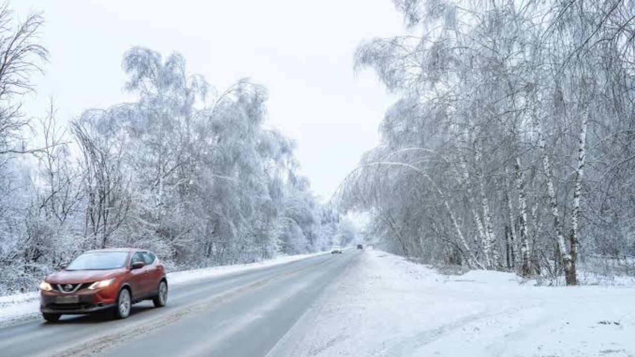
This feature will help maintain rain chances across northern valleys while bringing colder air into the region. Forecasts indicate that snow levels could fall to approximately 8,500 feet.
Some higher mountain locations in northern and central Utah could see accumulating snow, although the storm is not expected to produce widespread heavy mountain snowfall.
The Upper Cottonwoods and Uinta Mountains are among the areas where several inches of snow could be possible.
Snowfall amounts will depend on the storm’s track, temperatures and the intensity of precipitation. Conditions may also differ considerably between mountain elevations and lower valleys.
Anyone planning to travel through higher elevations Friday should watch for updated forecasts and possible changes in road conditions.
Strong Storms Possible Before Conditions Improve
Although much of the severe weather threat is expected to remain south of Utah on Wednesday, conditions could become more favorable for isolated strong thunderstorms on Thursday.
A broader threat for a few isolated strong storms is forecast to move into Utah ahead of a cold front crossing the state.
The timing and location of any stronger storms could vary, so residents should follow updated local forecasts for information about potential hazards. Gusty winds, heavy downpours and lightning may create additional risks for people spending time outdoors.
Utah Weather Outlook for the Weekend
The storm system is expected to move away toward the north and east by Saturday, allowing drier conditions to return across much of Utah.
The change will usher in cooler, fall-like weather, with daytime highs expected to settle into the 50s and low 60s across northern Utah. Far southern Utah could see highs in the 60s.
Some forecast guidance suggests a smaller low-pressure system could linger over parts of eastern Utah later in the weekend. If that feature develops, a few showers may persist in areas east of Interstate 15.
For now, the broader outlook favors improving conditions as the weekend progresses. Residents should continue monitoring updated forecasts through Friday, especially in southern Utah, where heavy rainfall could increase flash flood concerns.
Are you already seeing rain or stronger winds in your part of Utah? Share your local weather conditions in the comments, and let others know how this storm is affecting your area.