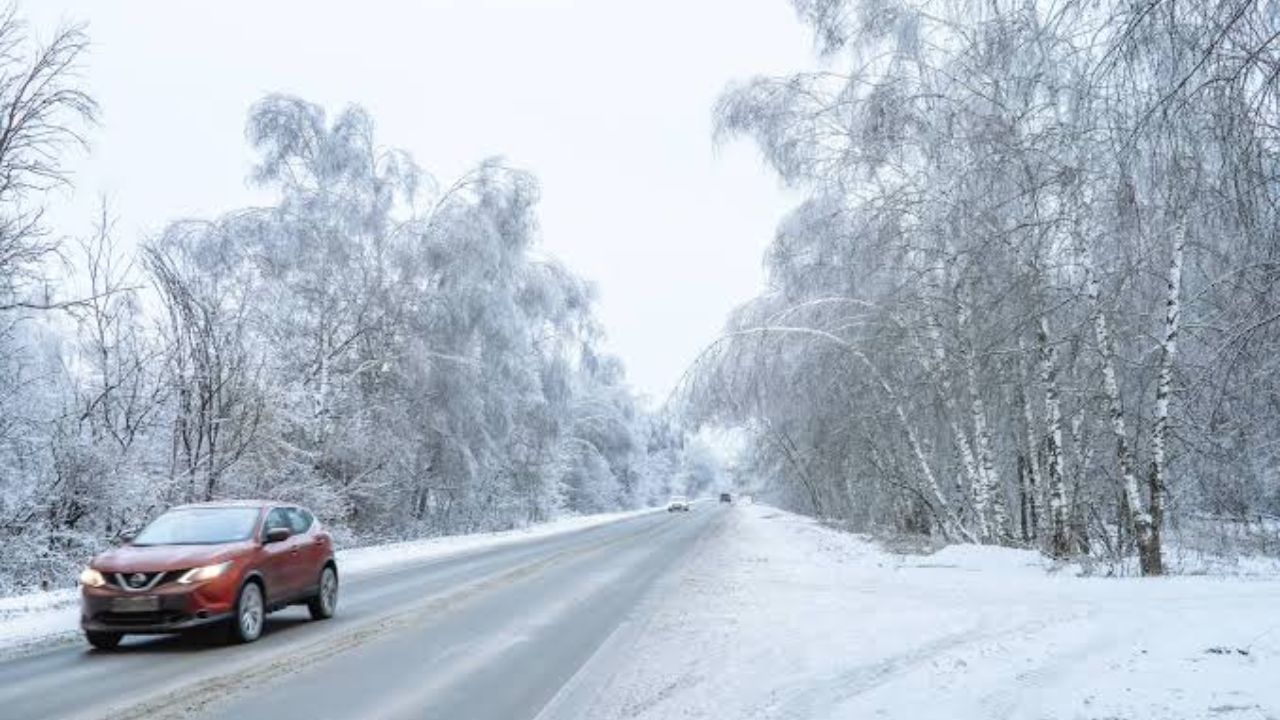
Mount Baker, Washington — Winter weather is arriving unusually early across parts of the United States, with several states preparing for snow just as the official start of fall arrives. Washington is facing the heaviest snowfall, with up to 15 inches possible around the Mount Baker region, while Alaska and parts of the northern Rockies also prepare for accumulating snow.
The early-season winter weather comes as forecasters continue monitoring a potentially historic El Niño pattern, which could influence weather across North America throughout the upcoming fall and winter.
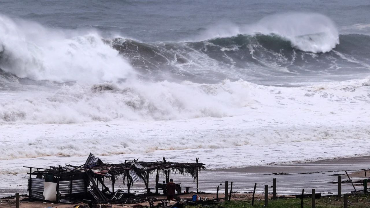
At the same time, tropical weather remains active farther south, with Polo expected to bring dangerous surf conditions and rip currents along the southwestern coast of Mexico.
Washington Could See Up to 15 Inches
The most significant snowfall forecast is focused on Washington’s higher elevations.
The Mount Baker region could receive up to 15 inches of snow from Thursday night through Friday, making it one of the most notable early-season snow events in the country.
The approaching frontal system will first bring widespread rain across the interior beginning Thursday afternoon and evening. The heaviest precipitation is expected across the Cascades and Olympic Mountains, where colder air will allow rain to transition to snow at higher elevations.
Snow levels are expected to fall to approximately 6,000 to 7,000 feet as the frontal system moves through.
That means lower elevations will primarily experience rain, while communities and mountain areas at higher elevations could see accumulating snow.
Colorado and Wyoming Could See Early Snow
The first signs of winter are not limited to Washington.
Parts of Colorado and Wyoming could see trace amounts of snow by Friday, particularly across higher elevations. Most of the precipitation in those areas is expected to remain concentrated in mountainous terrain.
While the expected amounts are much lower than those forecast for Mount Baker, the timing is notable because the snow arrives almost immediately as astronomical fall begins.
Higher elevations can experience winter-like conditions well before colder weather settles into lower elevations, particularly when a strong frontal system pushes colder air into the mountains.
Alaska Faces Another Round of Snow
Alaska is also preparing for another round of snowfall this week, with the North Slope, Brooks Range and surrounding Arctic areas expected to see additional accumulation.
Forecasters say northerly upslope flow into the Brooks Range and Southern Arctic Plains will favor the highest snowfall totals across those areas.
Snowfall accumulations could reach around 2 inches along the Arctic Coast and up to 4 inches across the Southern Arctic Plains and Brooks Range, with locally higher amounts above pass level.
The snowfall will also arrive alongside powerful winds.
A Powerful Nor’easter Is Coming: This Weekend’s Full Moon Could Make Coastal Flooding Worse
Parts of the region could experience wind gusts reaching as high as 70 mph, creating difficult conditions in exposed areas and potentially reducing visibility.
Strong El Niño Could Shape the Winter
The early snow comes as the National Weather Service continues to monitor an unusually strong El Niño.
The latest outlook puts the chance of El Niño becoming a very strong event during the Northern Hemisphere fall and winter of 2026-27 at more than 90%.
Forecasters also estimate a 75% chance that this could become the strongest El Niño on record dating back to 1950.
El Niño can significantly influence weather patterns across the United States, although its effects vary by region.
Much of the Pacific Northwest is expected to experience warmer-than-average temperatures during the broader pattern. However, that does not prevent individual cold fronts from producing snow in mountainous areas.
Fall Starts With a Winter-Like Pattern
The arrival of snow so early in the season serves as a reminder that the transition from summer to fall does not happen uniformly across the country.
For Washington’s mountain communities, Alaska and portions of the northern Rockies, winter conditions can arrive while much of the country is still experiencing mild autumn weather.
The combination of rain, falling snow levels, strong winds and heavy mountain snowfall could make travel more difficult across higher elevations later this week.
Meanwhile, the active Pacific pattern is producing hazards beyond the United States, with tropical system Polo also expected to generate life-threatening surf and rip currents along southwestern Mexico.
As fall gets underway, residents across the affected regions will be watching closely as rain, snow, wind and tropical weather create a particularly active start to the new season.
Is snow already showing up where you live, or are you still experiencing warm fall weather? Share your city and state in the comments and tell us what the weather looks like in your area.


One thought on “Fall Begins With a Snow Surprise: Washington and Alaska Brace for Heavy Winter Weather”