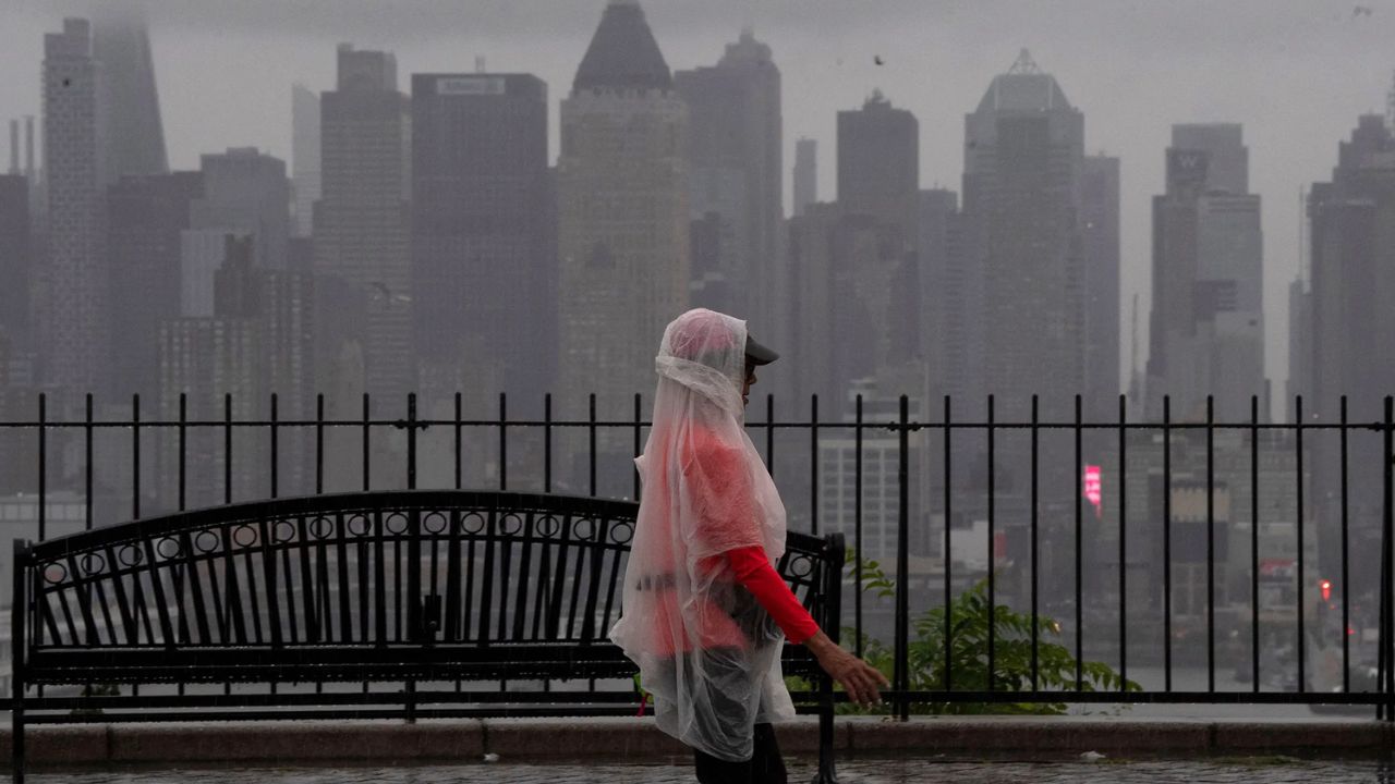
Houston, Texas — A prolonged stretch of heavy rain is expected across the Gulf Coast and Southeast through next week, with some locations potentially receiving more than 7 inches as tropical moisture continues spreading eastward across the southern United States.
A new seven-day rainfall forecast from NOAA’s Weather Prediction Center shows a broad corridor of heavy rain stretching from Texas into the Southeast through Wednesday, Oct. 7. The heaviest rainfall is expected along the Gulf Coast, where large areas could receive 5 to 7 inches, while isolated locations near the Texas and Louisiana coasts could see 7 to 10 inches.
The extended rainfall threat comes after moisture from Hurricane Polo moved north from Mexico and helped produce flooding across parts of the Southwest and Texas.
Tropical Moisture Is Fueling the Rain
Much of the moisture reaching the South can be traced back to Hurricane Polo, which moved ashore in northwestern Mexico earlier this week before sending a plume of tropical moisture northward.
That moisture contributed to heavy rainfall in parts of Arizona, New Mexico, Colorado and Texas.
Bullhead City, Arizona, received 3.91 inches of rain, while Albuquerque recorded more than 2 inches. According to The Weather Channel, Albuquerque’s rainfall total was close to twice the amount the city normally receives throughout the entire month of September.
Now, that tropical moisture is shifting east while additional moisture is being pulled north from the Gulf of Mexico. The Weather Prediction Center warned of a:
“Major South/Southeast U.S. Excessive Rainfall/Flooding threat with tropical connections this weekend and early-mid next week.”
Texas Could Take the First Big Hit
Texas is expected to see some of the most significant rainfall early in the forecast period.
On Thursday, the WPC placed a Moderate Risk of excessive rainfall, level 3 of 4, across an area stretching from South Texas toward southeastern Oklahoma.
Parts of the Texas Hill Country and the I-35 corridor could receive another 2 to 4 inches, with locally higher amounts possible.
Rainfall rates could become particularly concerning. Some storms may produce 1 to 2 inches of rain per hour, while isolated areas could experience rates approaching 3 to 4 inches per hour.
Those rainfall rates can quickly overwhelm drainage systems and cause creeks, streams and low-lying roads to rise.
A broader Slight Risk, level 2 of 4, extends from Texas through parts of the Midwest, reaching Wisconsin and northeastern Indiana.
Gulf Coast Rain Threat Expands Friday
The heavy rain will not end after Thursday.
More rainfall is expected across South and South-Central Texas on Friday, potentially falling on ground that is already saturated from earlier storms.
Forecast guidance also indicates the possibility of heavy rainfall developing farther east along the Gulf Coast, including portions of Mississippi and the Florida Panhandle.
The combination of repeated rainfall and already-wet ground could increase the potential for localized flooding, particularly where thunderstorms repeatedly track over the same areas.
Southeast Could See Days of Heavy Rain
By the weekend, the focus shifts farther east.
Saturday’s Slight Risk extends from the central Gulf Coast into the southern Tennessee Valley, while Sunday’s area narrows toward the central Gulf Coast.
The WPC’s 48-hour forecast from Saturday morning through Monday morning shows the heaviest rainfall potential concentrated near the Louisiana, Mississippi and Alabama coasts, with several inches also possible farther inland.
The rainfall could continue into next week rather than clearing immediately. A cold front is expected to bring cooler, drier fall-like air to the northern half of the country early next week. However, that same pattern could help keep the rain focused over the South and Southeast through at least the middle of next week.
Forecasters are concerned that storms could repeatedly move over some of the same communities, increasing the cumulative flood threat.
Forecast Details Could Still Change
Despite the concerning rainfall projections, the exact location of the heaviest rain is not locked in yet. The WPC cautioned:
“Significant adjustments may be required in future updates,”
That means residents should continue checking updated forecasts, especially as the weekend approaches and individual storm tracks become clearer.
The combination of tropical moisture, Gulf moisture and repeated thunderstorms could create a prolonged flooding threat rather than a single brief rainfall event.
What the Flood Risk Levels Mean
The WPC’s Excessive Rainfall Outlook uses four risk levels to describe the potential for rainfall capable of producing flash flooding within 25 miles of a given location.
- A Marginal Risk, or level 1, means isolated flash flooding is possible.
- A Slight Risk, level 2, means scattered flash floods could occur.
- A Moderate Risk, level 3, indicates that numerous flash floods are possible and that flooding could become more widespread.
- A High Risk, level 4, is the most serious category and indicates that widespread flash flooding is expected.
For parts of Texas and Oklahoma on Thursday, the Moderate Risk designation means residents should take the potential for dangerous flooding seriously, particularly in areas that have already received substantial rainfall.
With the heaviest rain expected to shift across the South over several days, conditions could change quickly from one location to another.
Is your area in the path of this next round of heavy rain? Tell us your city and state in the comments and let us know how much rain you’re expecting through the weekend.