Hilo, Hawaii — Tropical Storm Nolo is strengthening in the Pacific and closing in on Hawaii, prompting a hurricane watch for the Big Island as forecasters warn of potentially catastrophic rainfall, flooding and mudslides later this week.
Nolo had maximum sustained winds of 45 mph Wednesday, according to the National Hurricane Center, and was moving westward at about 9 mph. Forecasters expect the storm to make a sharp turn toward the north and north-northeast before approaching the Big Island Friday into Saturday.
The storm is forecast to become a hurricane Thursday and could strengthen further into a major hurricane by the weekend. A major hurricane is classified as Category 3 or higher, with maximum sustained winds of at least 111 mph.
Hurricane Watch Issued for the Big Island
A Hurricane Watch is in effect for Hawaii County, meaning hurricane-force winds are possible within the watch area.
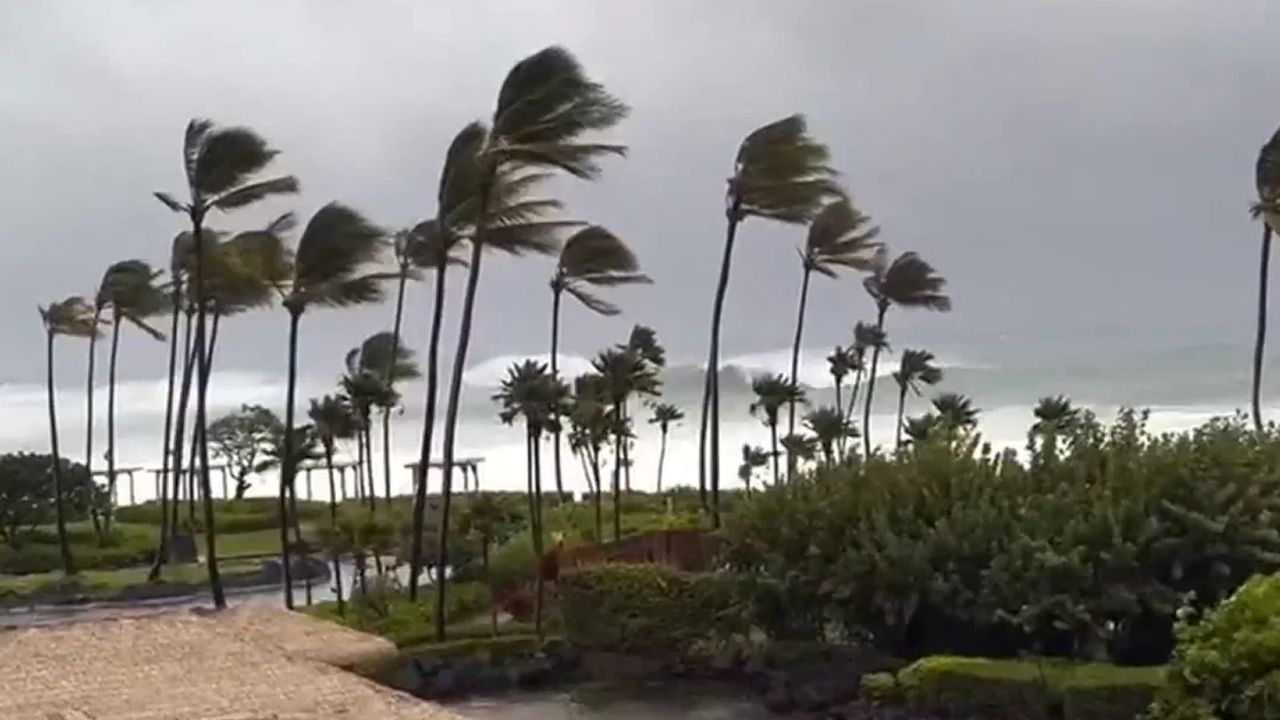
The National Weather Service said hurricane conditions could begin as early as Friday night. Tropical-storm-force winds could arrive earlier, while the storm’s exact track and intensity will determine the severity of conditions across the island.
Nolo was located roughly 305 miles south of South Point on the Big Island Wednesday afternoon, putting the storm within a relatively close distance of Hawaii as it prepares to turn northward.
Officials are urging residents and visitors to closely monitor the storm as the forecast becomes clearer.
Up to 35 Inches of Rain Could Fall
Rainfall could become one of the most dangerous threats associated with Nolo.
The Big Island is expected to receive approximately 15 to 20 inches of rain, with isolated areas potentially seeing up to 35 inches.
Such extreme rainfall could produce catastrophic, life-threatening flooding and mudslides, particularly across steep and mountainous terrain. The National Weather Service has warned that flooding could occur even in locations that do not typically experience flooding.
The rainfall threat is particularly concerning because portions of Hawaii have already experienced significant flooding this year.
Heavy tropical rain falling over saturated ground and steep terrain can quickly turn normally manageable streams and drainage areas into dangerous torrents.
Maui Could Also Face Dangerous Flooding
The storm’s impacts are expected to extend beyond the Big Island.
Maui could receive 5 to 10 inches of rainfall, with maximum totals reaching around 20 inches in some locations.
That amount of rain could produce life-threatening flooding and mudslides, especially in areas of higher terrain.
The rest of the Hawaiian Islands could see 1 to 3 inches of rain, with isolated areas potentially receiving up to 6 inches. Even those lower totals could result in localized flooding as tropical moisture spreads across the state.
Dangerous Surf and Storm Surge Are Also Possible
Rain will not be the only concern.
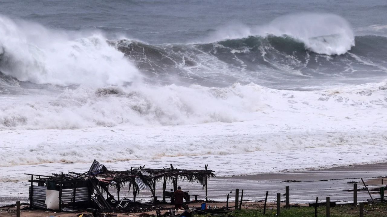
Nolo is also expected to generate dangerous surf and rip currents, particularly along exposed shores as the storm approaches. A combination of storm surge and high tide could also push seawater into normally dry coastal areas.
Forecast guidance indicated that portions of Hawaii County could experience 1 to 3 feet of storm surge above ground level if peak surge coincides with high tide.
Fall Begins With a Snow Surprise: Washington and Alaska Brace for Heavy Winter Weather
The most significant coastal flooding would be expected near and to the right of the eventual landfall or closest approach, where storm surge could combine with large and dangerous waves.
Hawaii Faces Another Active Pacific Storm
Nolo is arriving during an unusually active period in the Pacific.
Earlier this month, Hurricane Lowell brought damaging winds and heavy rain to Kauai and Niihau, knocking down trees, damaging roads and leaving thousands without power.
Last month, Hurricane Lala brushed past Hawaii, causing significant damage that included homes being washed away, landslides and widespread power outages.
Nolo could bring another major round of hazardous weather, particularly if it strengthens as forecast and passes close to the islands.
Residents Should Closely Watch Nolo
The storm’s final track remains critical. A small change in direction or intensity could significantly alter the areas experiencing the strongest winds and heaviest rainfall.
For now, the greatest concerns are centered on the Big Island and Maui, where extreme rainfall could create dangerous flooding and mudslides.
Are you in Hawaii and preparing for Tropical Storm Nolo? Share your city and what conditions are like in your area in the comments below.