San Diego, California — Hurricane Rachel is sending large swells toward California and northwestern Mexico, while forecasters are watching closely to see whether the storm eventually turns toward Mexico and sends moisture into the southwestern United States.
As of Monday morning, Rachel was a Category 1 hurricane with maximum sustained winds of 85 mph. The storm was located about 440 miles west-southwest of the southern tip of Baja California Sur, Mexico, and was moving west at around 7 mph.
Rachel is expected to move away from land initially, keeping its strongest winds and heaviest rainfall offshore for much of the week. However, a potential change in direction later could bring new concerns for Mexico and parts of the Southwest.
Rachel Could Bring Dangerous Waves to California
Even though Rachel is expected to remain offshore for now, the hurricane is already influencing conditions along the coast.
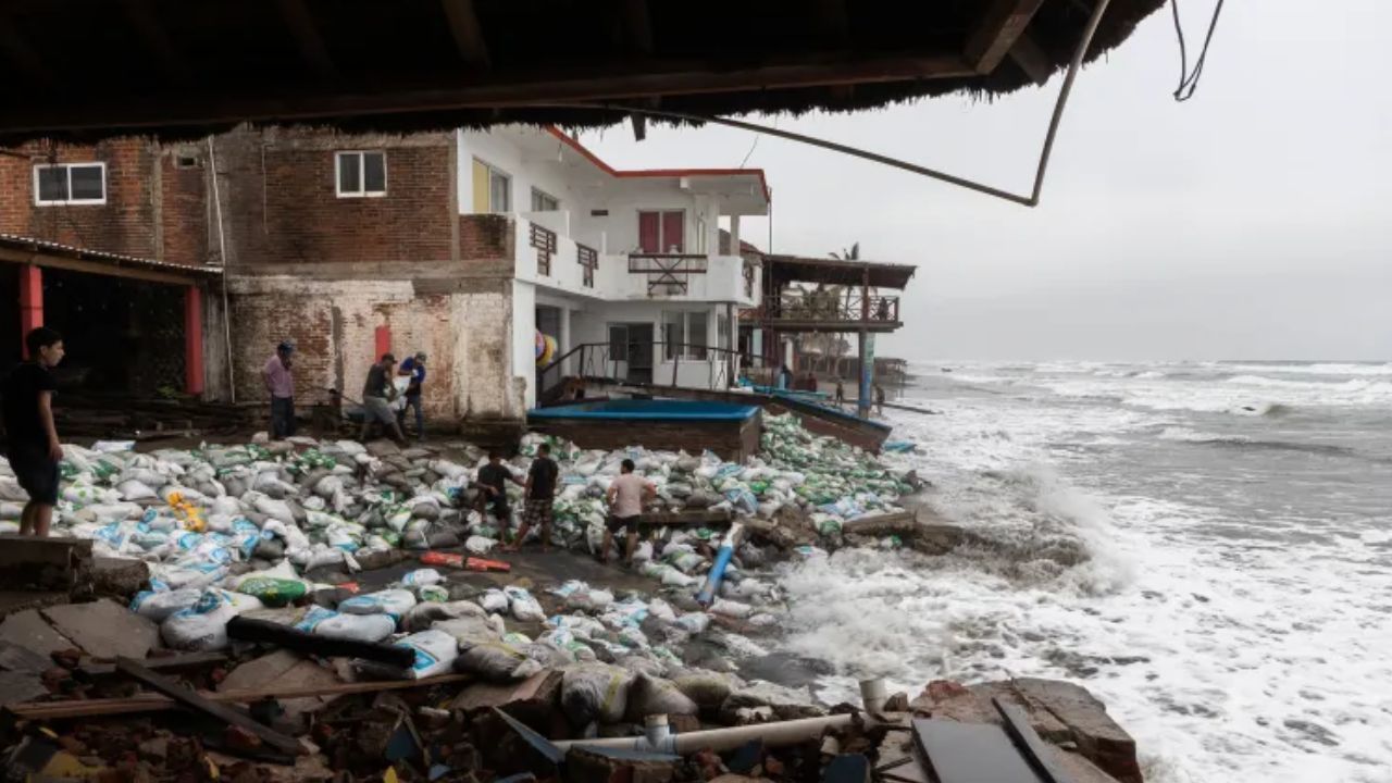
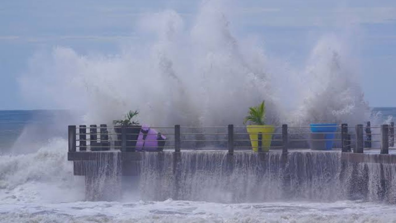
Large swells spreading outward from the storm are expected to reach California and northwestern Mexico through the weekend, creating dangerous surf conditions along beaches and coastal areas.
The hurricane is not currently forecast to become as intense as some of the strongest storms seen this season. However, its offshore position does not eliminate the coastal threat.
Earlier hurricanes this season generated significant swells that contributed to beach erosion and coastal flooding along parts of California. Rachel could produce another round of large waves, increasing risks for beachgoers and vulnerable coastal property.
People near the shoreline could face powerful surf and strong currents even while the hurricane itself remains hundreds of miles offshore.
A Turn Toward Mexico Could Change the Forecast
The bigger concern is what happens if Rachel eventually changes direction. If the hurricane turns toward Mexico, its moisture could spread northeastward across the country and potentially reach Arizona and New Mexico.
That scenario could become particularly concerning because portions of the Southwest have already experienced substantial rainfall in recent weeks.
Additional downpours could produce renewed flooding, mudslides and dangerous flows of water, mud and rocks across vulnerable terrain.
Meteorologists are watching the storm’s projected path closely because even if Rachel weakens before reaching the region, its tropical moisture could still contribute to heavy rainfall.
Southwest Already Saw Excessive September Rain
The potential for additional rainfall comes after an unusually wet September across parts of the Southwest.
Some areas received two to seven times their historical average September rainfall, with the North American monsoon and moisture associated with Hurricane Polo contributing to the unusually wet conditions.
That leaves some areas more vulnerable to additional flooding if another surge of tropical moisture moves into the region.
Gulf Coast on Alert: Tropical System Could Develop as Flooding Rain Spreads Across the Southeast
Soils can become saturated after repeated rainfall, while burn scars and steep terrain can be especially susceptible to rapid runoff and debris flows.
A track that sends Rachel’s moisture toward the Southwest could therefore create a significantly different impact than a storm that remains over the Pacific.
Polo Remains a Reminder of the Season’s Strength
Rachel is developing during an active period for the Eastern Pacific.
Hurricane Polo was the most intense storm of the season, reaching maximum sustained winds of 180 mph on two separate occasions. The hurricane reached Category 3 strength or greater three times during its lifetime and is tied as the second-most-intense hurricane ever recorded in the basin.
Rachel is not currently expected to approach that level of intensity, but its moisture and large ocean swells could still create significant weather and coastal impacts.
Nolo Has Moved Into the Western Pacific
Meanwhile, another former tropical system has moved far from the Eastern Pacific.
Nolo has crossed the International Date Line and is now classified as a typhoon in the western Pacific. Before making that transition, the storm brought rain, gusty winds and rough seas to Hawaii.
Its movement highlights how active tropical systems can travel across large portions of the Pacific and continue affecting different regions even after leaving their original forecast basin.
Another System Is Developing Near Mexico
Rachel is also not the only system being monitored near Mexico.
Meteorologists are watching a cluster of thunderstorms off the coast of southern Mexico that has a high chance of developing into a tropical depression or tropical storm over the next several days.
If it becomes a named storm, the next name on the Eastern Pacific list is Simon.
The developing system could potentially turn northeast toward Mexico this weekend or early next week, bringing another round of heavy rainfall to parts of the country.
For now, Rachel’s strongest winds are expected to remain offshore, but California’s coast will still have to contend with dangerous waves while forecasters continue watching for a possible turn toward Mexico.
Are you watching Hurricane Rachel and the potential impacts on California, Mexico or the Southwest? Share your thoughts in the comments and let us know how the weather is looking in your area.