Norfolk, Virginia — An October nor’easter is lingering off the Atlantic coast, bringing the threat of high surf, dangerous rip currents, coastal flooding and strong winds to communities stretching from the Carolinas to New England.
The slow-moving system is expected to affect parts of the East Coast for several days this week. While forecasters do not expect it to become as powerful as the late-September nor’easter, the storm could still create hazardous beach conditions, erode shorelines and cause localized flooding.
The National Hurricane Center has also identified the system as an area to watch for the potential development of a tropical or subtropical cyclone that could be named Josephine. Regardless of whether the system develops into a named storm, its coastal impacts remain a concern.
Coastal Flooding Threatens Parts of the Carolinas and Mid-Atlantic
The greatest risk of prolonged coastal impacts appears to extend from the Delmarva Peninsula to eastern North Carolina.
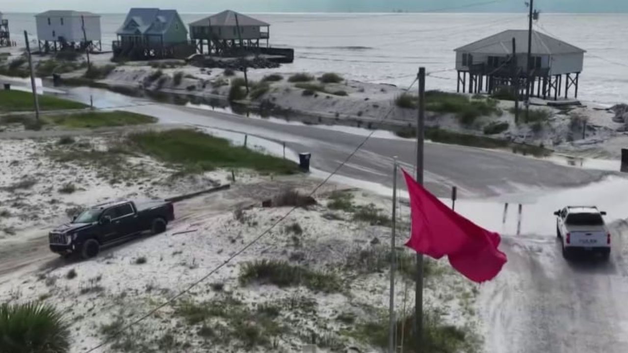
Coastal flood alerts have been issued for parts of coastal North Carolina, where water inundation of 1 to 4 feet is possible in vulnerable areas, according to the forecast information provided.
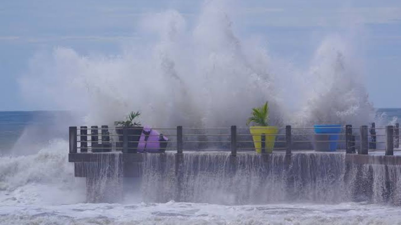
High surf advisories also cover portions of the North Carolina coastline, where waves could reach up to 14 feet. Large waves pushing toward the shoreline can increase the risk of beach erosion, overwash and flooding in low-lying coastal communities.
Parts of Virginia, Maryland, Delaware and New Jersey could also experience coastal flooding, with inundation of up to a foot possible in some locations. Waves could reach approximately 10 feet along sections of the Mid-Atlantic coast.
The effects may extend beyond beaches. Rising water levels along rivers and waterways from North Carolina to Maryland could reach moderate flood stage, depending on local conditions.
Residents in flood-prone areas should monitor local alerts, particularly around high tide, when elevated water levels and large waves can combine to increase flooding risks.
Dangerous Surf and Rip Currents Could Stretch From Florida to New England
The storm’s effects are not expected to remain limited to the Mid-Atlantic.
High surf, coastal flooding and rip currents could affect Atlantic-facing beaches from Florida northward to New England. Even communities far from the storm’s center may experience hazardous conditions because strong winds over the ocean can generate large waves that travel toward the shoreline.
Rip currents are a major concern for swimmers and beachgoers. These powerful channels of water can pull swimmers away from shore, making it difficult to return to the beach safely.
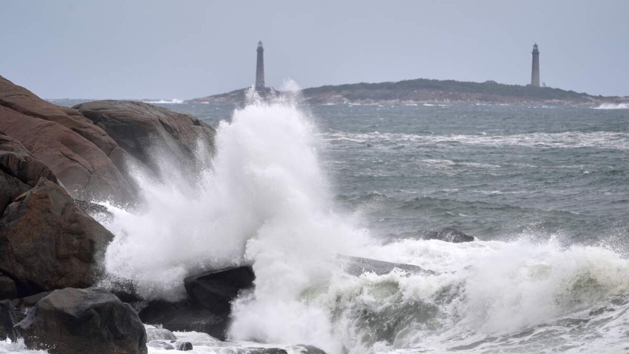
Large waves can also knock people off their feet, sweep them from rocks or jetties and create dangerous conditions along exposed shorelines.
Significant beach erosion is possible along sections of the East Coast as repeated waves strike the shoreline. Coastal residents should follow local beach restrictions and avoid entering the water when warnings are in effect.
Outer Banks Could See Strong Winds and Periods of Rain
The Outer Banks of North Carolina are expected to face some of the more noticeable wind and rain impacts from the system.
Wind advisories are in place for affected areas, with gusts reaching up to 40 mph. Strong winds can bring down tree limbs, affect outdoor structures and potentially damage power lines, leading to isolated outages.
Travel may also become difficult, especially on exposed roads, bridges and coastal routes where crosswinds can affect vehicle stability.
Despite the storm’s broad coastal influence, it is not expected to be a major rainfall producer across most areas. Much of the heaviest rain is forecast to remain offshore.
However, coastal communities could experience intermittent showers throughout the week. Localized rainfall and elevated water levels may add to existing concerns in areas already vulnerable to flooding.
Where Is the Nor’easter Headed Next?
The low-pressure system is expected to remain well offshore while slowly moving northeast over the next several days.
By Thursday, the system is forecast to be near the Massachusetts coast, potentially bringing stronger winds and rough coastal conditions to Cape Cod and surrounding areas.
As Friday approaches, a cold front is expected to pick up the low-pressure system and move it farther out to sea. This shift should help improve weather conditions along parts of the coast.
El Niño Winter Alert: West Coast and Southern States Face Potential Heavy Rain and Mountain Snow
Forecast models have not fully agreed on the precise timing of the system’s departure. As a result, the duration of hazardous surf, coastal flooding and strong winds could vary by location.
Conditions are expected to improve during the latter half of the week, with clearer skies possible by the weekend.
What East Coast Residents Should Watch
The storm’s offshore track may limit some direct impacts on land, but it does not eliminate the risk of coastal flooding, dangerous surf or strong winds.
People living along the coast should monitor National Weather Service forecasts and local emergency alerts for updated information. Beachgoers should stay out of dangerous surf, while boaters should pay attention to marine forecasts before heading onto the water.
Residents in low-lying areas should also be prepared for changing water levels and follow any evacuation or flood safety instructions issued by local officials.
The key question over the coming days is how long the system remains close enough to the coast to sustain hazardous conditions before moving farther into the Atlantic.
Do you live along the East Coast? Have you noticed stronger waves, coastal flooding or rough weather in your area? Share your local conditions in the comments and let others know what you are seeing.