Destin, Florida — Hurricane Isaias made landfall near the western Florida Panhandle late Friday evening as a Category 2 storm, bringing sustained winds of 105 mph, dangerous storm surge and the threat of life-threatening flooding. The powerful system pushed inland as coastal communities faced deteriorating weather conditions and forecasters warned that destructive winds and heavy rainfall could extend well beyond the immediate coastline.
The National Hurricane Center confirmed that the storm’s center crossed the coast around 9:30 p.m. Friday, with the eye moving inland near Destin. Hurricane-force winds and rising coastal water levels threatened communities along the Florida Panhandle and parts of southern Alabama.
Hurricane Isaias Brings Destructive Winds to the Coast
Isaias came ashore with maximum sustained winds of 105 mph, placing it in Category 2 hurricane territory at landfall.
The storm was moving northward at approximately 18 mph, allowing its strong winds and bands of heavy rain to spread farther inland. Forecasters warned that damaging winds could continue affecting parts of southern Alabama and northwestern Florida even as the hurricane gradually weakened over land.
Reports from the region highlighted the intensity of the conditions. A weather station near Santa Rosa Sound recorded a 116 mph wind gust alongside sustained winds of 91 mph. Another station near Pensacola reportedly measured a powerful gust of 100 mph.
Such winds can damage roofs, bring down trees, disrupt power supplies and make travel extremely dangerous. Conditions can also deteriorate quickly as the strongest parts of a hurricane move through an area.
Storm Surge Warning Covers a Long Stretch of Coastline
Storm surge was another major concern as Isaias moved inland.
A storm surge warning was reported for areas stretching from the mouth of the Mississippi River to Florida’s Suwannee River. A hurricane warning extended from Ocean Springs, Mississippi, to the Bay and Gulf County line in Florida.
Forecasters warned that storm surge could produce inundation of 6 to 9 feet above ground level in some coastal locations east of the landfall point, depending on local terrain and the timing of tides.
Storm surge occurs when hurricane winds push seawater toward the coast, causing water levels to rise above normal. The resulting flooding can cover roads, damage buildings and cut off evacuation routes.
Residents in warned areas faced the risk of rapidly rising water and dangerous coastal conditions as the storm pushed northward.
Heavy Rain Could Trigger Flash Flooding
The flooding threat was expected to continue after landfall, with widespread rainfall forecast across parts of the Florida Panhandle, Alabama and neighboring areas.
Rainfall totals of 4 to 8 inches were possible across portions of the affected region, with isolated amounts reaching 15 inches. The heaviest downpours could overwhelm drainage systems, flood low-lying roads and cause rapid rises in creeks and rivers.
The risk could persist through the weekend as Isaias weakened and moved toward the Tennessee Valley.
Even after a hurricane loses strength over land, its remaining circulation can continue producing intense rainfall. Areas away from the coast can therefore face dangerous flooding long after the center moves inland.
Dramatic Conditions Reported as the Storm Moves Inland
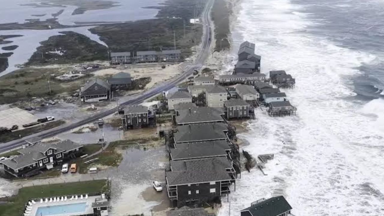
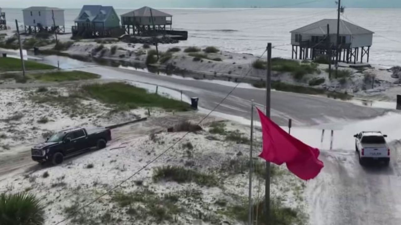
Footage described by reporters and storm chasers showed powerful waves surging into coastal waters and intense winds making it difficult for people to remain standing.
Hurricane Isaias Is Headed Inland—Here Are the Cities Facing Heavy Rain, Strong Winds and Flooding
These conditions illustrate the hazards that can accompany a hurricane landfall, particularly near exposed shorelines where wind, waves and rising water combine.
Authorities typically warn residents to avoid flooded roads, stay away from coastal areas during storm surge and follow local emergency instructions. Floodwater can conceal damaged pavement, debris and fast-moving currents.
Isaias Could Continue Bringing Dangerous Weather Inland
As Isaias moves farther inland, the hurricane is expected to weaken, but the threat from heavy rainfall, flash flooding and damaging winds may continue across parts of the Southeast.
The storm’s northward movement could carry rain into additional communities as its circulation interacts with weather systems farther inland. The precise extent of the impacts will depend on the storm’s track, its rate of weakening and how much rainfall falls over vulnerable locations.
Residents across the affected region should continue monitoring official forecasts and emergency alerts, especially where flooding has already developed.
Are you experiencing strong winds, heavy rain or flooding from Hurricane Isaias? Share your city and state in the comments and let us know what conditions are like in your area.