Phoenix, Arizona — Severe thunderstorms have brought large hail, damaging winds and flash flooding to parts of Arizona, with more potentially dangerous weather forecast across the Southwest. Floodwaters and a rockslide damaged a residential roadway in Clifton, while hailstones measuring 2 inches in diameter were reported near Phoenix.
The storms developed from Wednesday into Thursday, producing widespread reports of hail, flooding and wind damage. Forecasters warned that another round of thunderstorms could bring additional hazards, including sudden flooding, damaging wind gusts and large hail.
The threat also extended beyond Arizona, with southern Utah and western New Mexico among the areas that could see additional storm activity.
Flash Flooding and Rockslide Damage Reported in Clifton
Heavy rainfall triggered flash flooding and a rockslide in Clifton, Arizona, sending mud, rocks and floodwater rushing down a residential road.
The fast-moving debris covered vehicles and damaged the roadway, highlighting the danger of intense rainfall in areas where runoff can quickly overwhelm roads and drainage systems.
Flash flooding can develop rapidly when thunderstorms produce heavy rain over a short period. Water may flow into streets, washes and low-lying areas with little warning, carrying rocks and other debris along the way.
The danger can remain even after rainfall begins to ease, particularly where water continues draining from nearby hillsides or elevated terrain.
Residents should avoid flooded roads and never attempt to drive through moving water. Even shallow-looking floodwater can conceal damaged pavement, debris or deeper sections of the roadway.
Large Hail Reported Near Phoenix
Arizona also experienced significant hail as thunderstorms swept across the region.
Reports received between Wednesday night and Thursday morning included hailstones measuring 2 inches in diameter near Phoenix. Hail of that size can damage vehicles, break windows, injure people caught outdoors and cause substantial damage to roofs and other exposed property.
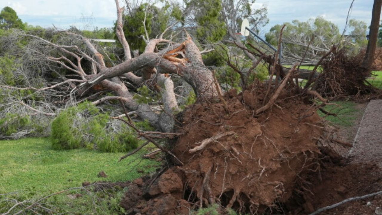
Damaging winds added to the concerns as storms moved through the state.
The combination of hail, strong wind gusts and intense rainfall can create multiple hazards within the same storm. Conditions may also vary considerably between neighboring communities, depending on the storm’s path and strength.
People in areas expecting additional thunderstorms should consider moving vehicles into covered parking when possible and securing loose outdoor items before storms arrive.
Arizona Sees Rare Tornado Watch
Parts of northern Arizona, including Flagstaff, were placed under a tornado watch through Wednesday evening as severe thunderstorms developed.
According to the National Weather Service information cited in the report, it was Arizona’s first tornado watch since October 2010.
A tornado watch means atmospheric conditions are favorable for tornado development. It does not mean a tornado has been confirmed or that one will necessarily occur in every location covered by the watch.
Near the Grand Canyon, meteorologists also tracked a supercell thunderstorm that produced a large rainbow stretching over the canyon.
Although the rainbow offered a striking sight, the storm activity underscored the contrast between the region’s dramatic scenery and the potentially dangerous weather affecting parts of the Southwest.
More Severe Thunderstorms Could Bring New Hazards
Forecasters expected another round of severe thunderstorms Thursday across central and eastern Arizona, with the potential threat extending north into southern Utah and east into western New Mexico.
The main concerns included damaging winds, large hail and flash flooding.
Atlantic Storm Josephine Tracks Toward Canada as Northeast Communities Watch Wind and Flood Risks
A tornado watch was also issued for parts of northern and eastern Arizona and western New Mexico through Thursday at 8 p.m. Mountain Standard Time, according to the provided forecast information.
Repeated downpours could create additional flooding problems, especially in locations where rain falls over already wet ground or drains into narrow channels.
Normally dry washes and drainage basins are particularly vulnerable because they can fill rapidly during intense rainfall. Water may arrive from storms occurring some distance away, making conditions dangerous even when skies overhead appear relatively clear.
Residents should monitor official weather alerts and be prepared to move to a safer location if warnings are issued for their area.
Severe Weather Threat Shifts Toward New Mexico
The severe weather threat was expected to shift primarily toward New Mexico on Friday, although thunderstorms could continue across parts of the interior West into the weekend.
The precise locations and intensity of additional storms will depend on how weather conditions evolve.
For communities already affected by hail, flooding and damaged roads, further rainfall could complicate cleanup efforts and increase the risk of additional runoff.
People traveling across Arizona, southern Utah and western New Mexico should check local forecasts before setting out, particularly if their routes pass through mountainous terrain, low-water crossings or flood-prone areas.
What Residents Should Watch Next
The latest round of storms has demonstrated how quickly conditions can change across the Southwest, where intense rainfall can turn normally dry roads and washes into hazardous waterways.
Residents should take flash-flood warnings seriously, stay away from flooded crossings and seek sturdy shelter when severe thunderstorms approach. Anyone outdoors should move indoors when large hail or damaging winds threaten.
With more storms forecast across the Southwest, the next few days could bring additional weather disruptions.
Have you experienced hail, flooding or severe thunderstorms in Arizona or nearby states? Share what conditions have been like in your area in the comments below.