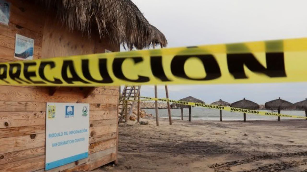
Cabo San Lucas, California — Category 3 Hurricane Polo is barreling toward Mexico with maximum sustained winds of 125 mph, threatening to make two landfalls as dangerous conditions begin spreading across the Baja California Peninsula and mainland Mexico.
Forecasters said Sunday night that Polo was expected to reach the Baja California Peninsula on Monday afternoon or evening before crossing the peninsula and briefly moving over the Gulf of California. The storm could then make a second landfall in northwestern Mexico late Monday or early Tuesday.
The National Hurricane Center warned that conditions would begin deteriorating soon as the powerful hurricane approaches the coastline.
Hurricane Polo Could Strike Baja California Monday
Polo was located about 175 miles southwest of Cabo San Lazaro and 260 miles west of Cabo San Lucas in the NHC’s 8 p.m. MST update.
The hurricane was moving north at 12 mph, with maximum sustained winds of 125 mph, making it a Category 3 hurricane on the Saffir-Simpson Hurricane Wind Scale.
Forecasters expect Polo to continue moving north for the next several hours before turning toward the northeast on Monday.
The NHC said:
“On the forecast track, Polo is expected to approach the west coast of the Baja California Sur on Monday, move across the peninsula Monday night and then approach northwestern mainland Mexico by early Tuesday.”
The forecast track puts Baja California Sur directly in the path of the powerful hurricane, with the first landfall expected Monday afternoon or evening.
Major Hurricane Strength Could Continue Into Landfall
Polo is not expected to weaken significantly before reaching the Baja California Peninsula.
Forecasters said the hurricane should remain at or near major hurricane intensity when it reaches the peninsula, creating the potential for dangerous winds, heavy rainfall and coastal impacts.
The storm is also expected to remain a major hurricane before reaching mainland Mexico, although rapid weakening is forecast once Polo moves farther inland.
That weakening will not eliminate the immediate danger. A major hurricane striking the peninsula and then crossing toward mainland Mexico could still produce damaging winds, flooding rainfall and dangerous coastal conditions.
Residents in areas covered by watches and warnings are being urged to closely follow updates as the storm approaches.
Hurricane Warnings Cover Both Sides of Baja California Sur
A wide area of Baja California Sur was under hurricane warnings Sunday night.
Warnings covered the west coast from Punta Abreojos to Santa Fe and the east coast from Loreto to Santa Rosalia.
A hurricane warning was also in effect for mainland Mexico from Guaymas to Huatabampito. These warnings indicate that hurricane conditions are expected in the affected areas as Polo moves closer.
The storm’s projected path across the peninsula means communities on both the western and eastern sides of Baja California Sur could experience significant impacts.
Hurricane Watches and Tropical Storm Warnings Expand
Forecasters have also issued hurricane watches across additional portions of Baja California Sur and mainland Mexico.
Hurricane watches extend along parts of the western coast north of Punta Abreojos toward Punta Eugenia, as well as sections of the eastern coastline near Loreto, Santa Rosalia and Bahia San Juan Bautista.
On mainland Mexico, watches include areas north of Guaymas toward Bahia Kino and areas south of Huatabampito toward Topolobampo.
Tropical storm warnings cover several of the same regions, reflecting the broad area that could experience tropical-storm-force winds as Polo approaches.
Second Landfall Expected in Northwestern Mexico
After crossing the Baja California Peninsula, Polo is expected to pass briefly over the Gulf of California. The storm could then reach northwestern mainland Mexico late Monday night or early Tuesday.
New York City Faces a Dangerous Weekend as Nor’easter Brings Heavy Rain and Powerful Winds
Forecasters expect Polo to make its second landfall in mainland Mexico, followed by rapid weakening as it moves inland.
Even as the hurricane weakens, heavy rainfall could create flooding concerns in vulnerable areas, while strong winds could damage trees, power infrastructure and structures.
Mexico Braces as Polo Closes In
The combination of Polo’s strength, its projected track and the possibility of two landfalls makes the storm a major concern for several parts of Mexico.
For now, the most immediate threat is Baja California Sur, where hurricane conditions could arrive Monday afternoon or evening.
Residents in areas under hurricane warnings should be prepared for deteriorating weather before the storm arrives and continue monitoring official forecasts for changes to Polo’s track or intensity.
With 125 mph winds already accompanying the Category 3 hurricane, the next several hours will be critical as Polo approaches the peninsula.
Are you in Baja California Sur or northwestern Mexico? How are you preparing for Hurricane Polo? Share your location and your storm preparations in the comments below.

One thought on “Major Hurricane Polo Takes Aim at Baja California With 125 MPH Winds and Two Landfalls Expected”