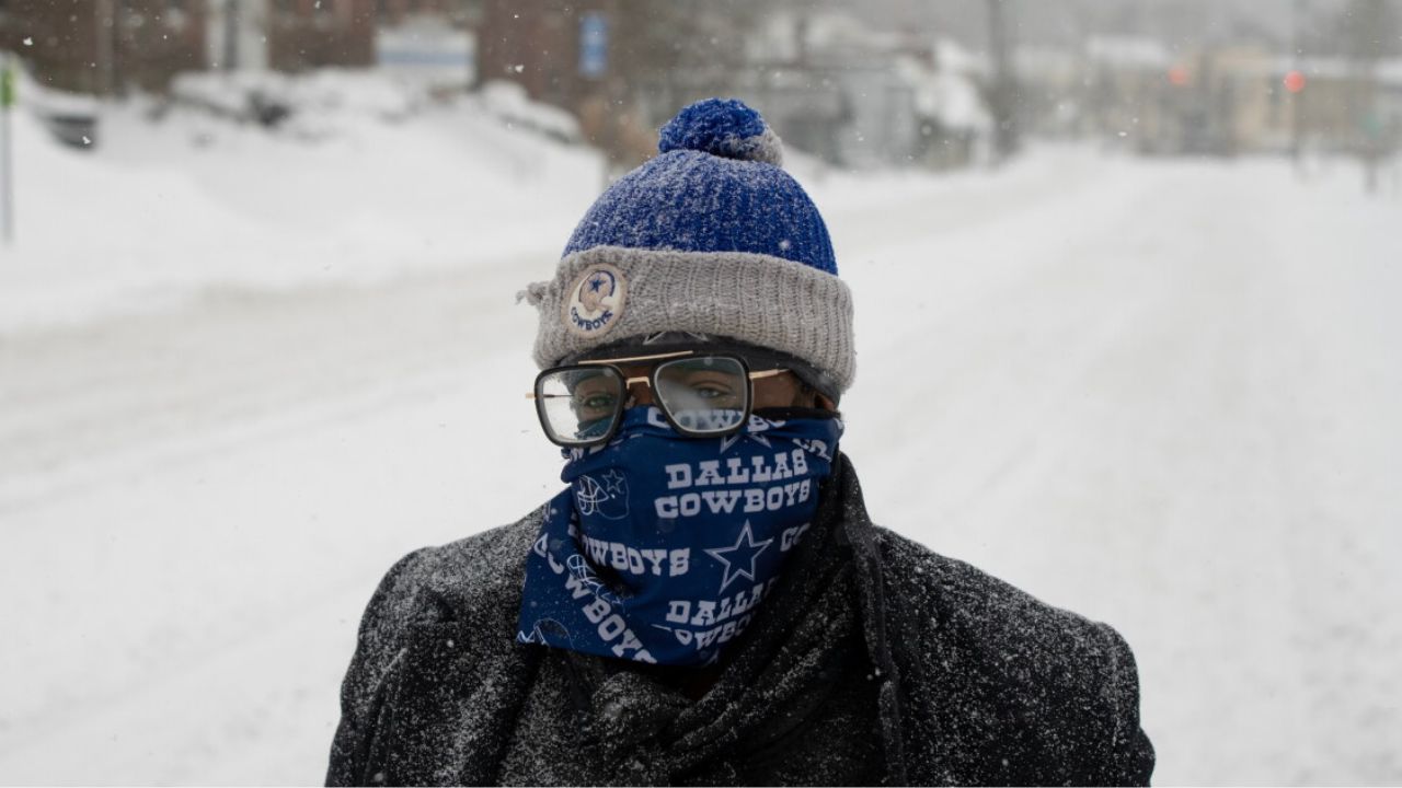
Seattle, Washington — A developing winter storm could bring up to 14 inches of snow to parts of the western United States before Halloween, putting mountain areas in Washington, Oregon, Idaho and Montana on alert for another round of early-season winter weather.
According to meteorologists, a stronger storm was expected to arrive Tuesday night, October 27, bringing heavy mountain snowfall and colder temperatures across parts of the Pacific Northwest and Northern Rockies.
The forecast calls for 6 to 14 inches of snow across favored ski resorts in the Cascades, British Columbia and the Northern Rockies over five days. However, the projected totals do not apply to entire states. Snowfall amounts will vary depending on elevation, location and the storm’s track.
Four Western States Face Another Round of Snow
The latest system follows an earlier round of winter weather and is expected to strengthen conditions across several mountain ranges in the West.
Washington’s Cascades and northern Oregon are forecast to see the storm move through on Wednesday, October 28, while heavier snowfall develops farther inland.
Idaho and Montana could also receive accumulating snow, particularly in elevated areas and around mountain resorts.
Smith described the incoming system as “stronger and slower-moving,” with “heavy snow developing across British Columbia and the Washington Cascades on Tuesday night.”
The slower movement could allow snow to accumulate over favored mountain locations as colder air moves into the region.
However, not every community in the four states should expect heavy snow. Mountain elevations are more likely to see significant accumulation, while lower-elevation towns could experience rain, lighter precipitation or little snowfall.
Where Could 14 Inches of Snow Fall?
The forecast identifies several mountain areas that could benefit from the developing storm, particularly ski resorts in the Cascades and Northern Rockies.
Schweitzer Mountain in Idaho and Whitefish Mountain Resort in Montana are among the locations as potential areas for accumulating snow.
Across the broader forecast region, favored resorts could receive 6 to 14 inches over five days. Actual totals will depend on the storm’s precise path, temperatures and the elevation of each location.
The distinction between mountain and valley forecasts is important. Snow can accumulate rapidly at higher elevations even when nearby communities receive mostly rain.
Travelers planning to visit mountain destinations should check local forecasts before leaving, particularly if their routes cross mountain passes or exposed roads.
Why Elevation Matters During This Storm
Cold air moving into the region could lower snow levels enough for snowfall to reach some ski resort bases.
When temperatures fall, precipitation that would otherwise arrive as rain can change to snow at higher elevations. The precise snow line, however, can vary considerably during a storm.
This means a resort’s upper mountain could receive several inches of snow while roads and communities at lower elevations remain wet rather than snow-covered.
Early-season snowfall can also create rapidly changing travel conditions. Even a relatively short period of heavy snow may reduce visibility, cover road surfaces and make mountain driving more difficult.
Drivers should watch for weather advisories, road restrictions and changing conditions before traveling through the Cascades or Northern Rockies.
Another Snow Chance Could Arrive Before Halloween
The developing weather pattern may bring another round of mountain snow as Halloween approaches.
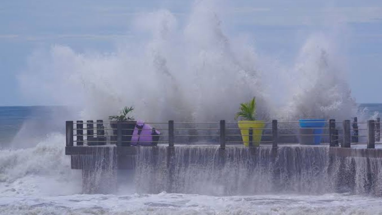
King Tides Bring Dangerous Coastal Flooding to San Diego, South Florida and North Carolina
Forecasters extended outlook indicates that the storm track could shift toward California and the Southwest beginning Friday, October 30. Another system could bring snowfall to the Sierra Nevada and parts of the Southern and Central Rockies.
The broader outlook highlights “above-average precipitation, colder temperatures, and mountain snowfall” from Halloween into early November.
These conditions could provide additional opportunities for early-season snow accumulation in elevated areas. However, the timing and amount of snowfall remain dependent on how the upcoming systems develop.
Central and Eastern North America, meanwhile, are expected to remain comparatively warmer and drier under the forecast pattern described.
What the Forecast Means for Halloween Weekend
The potential snowfall could be welcome news for ski enthusiasts watching conditions ahead of the winter season. Fresh mountain snow can help build an early snowpack, although a single storm does not necessarily mean ski resorts are ready to open.
For residents and travelers, the more immediate concern is the possibility of changing weather in mountainous areas before Halloween.
Anyone planning a weekend trip to Washington, Oregon, Idaho, Montana or nearby mountain destinations should monitor updated forecasts and road conditions. Temperatures can drop quickly at higher elevations, and precipitation may change from rain to snow as the storm moves through.
The projected 14-inch total applies to favored mountain locations, not every community across the four states. Forecast updates should provide a clearer picture of which areas are most likely to receive the heaviest accumulation.
Are you planning to travel to the mountains or visit a ski resort before Halloween? Share your location and let us know whether you’re expecting snow, rain or colder temperatures this week.