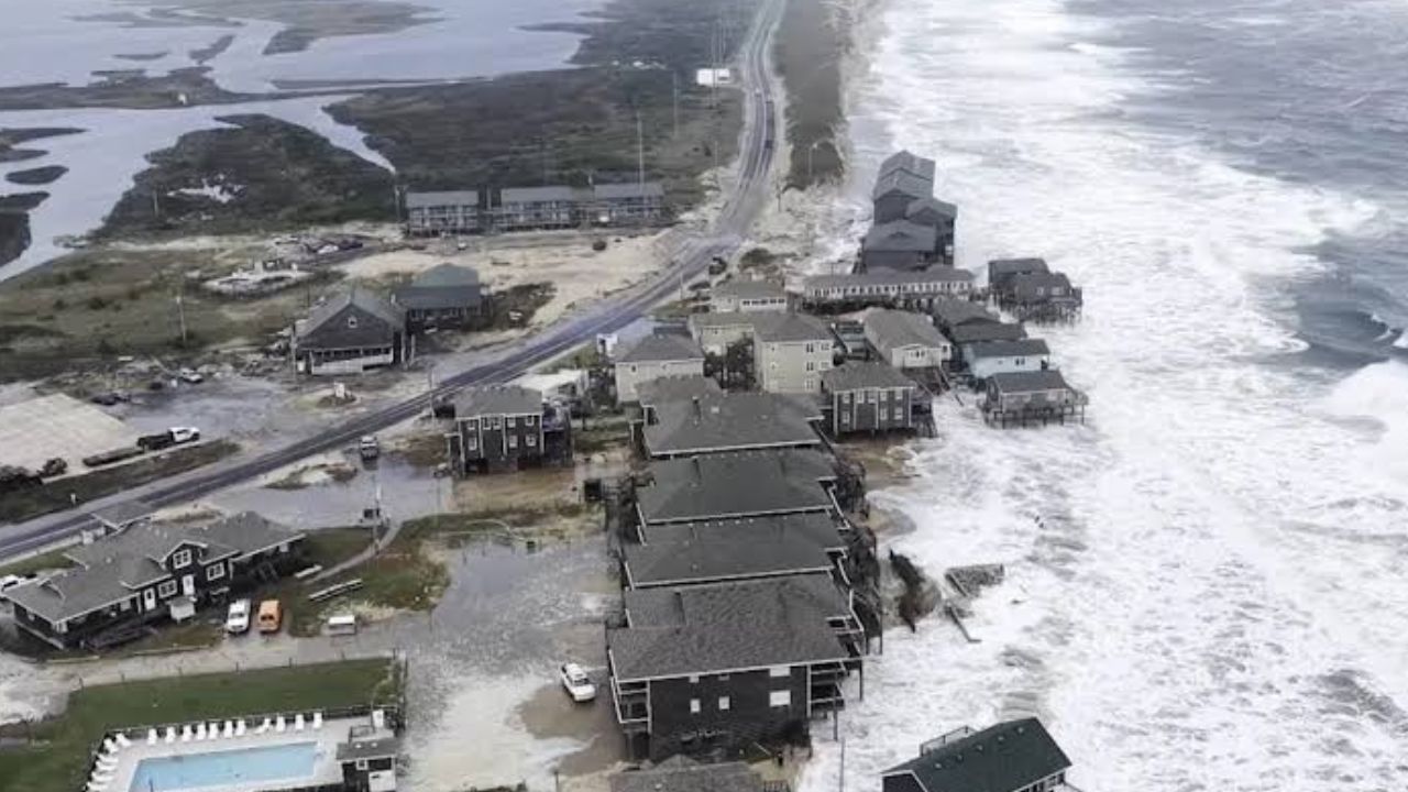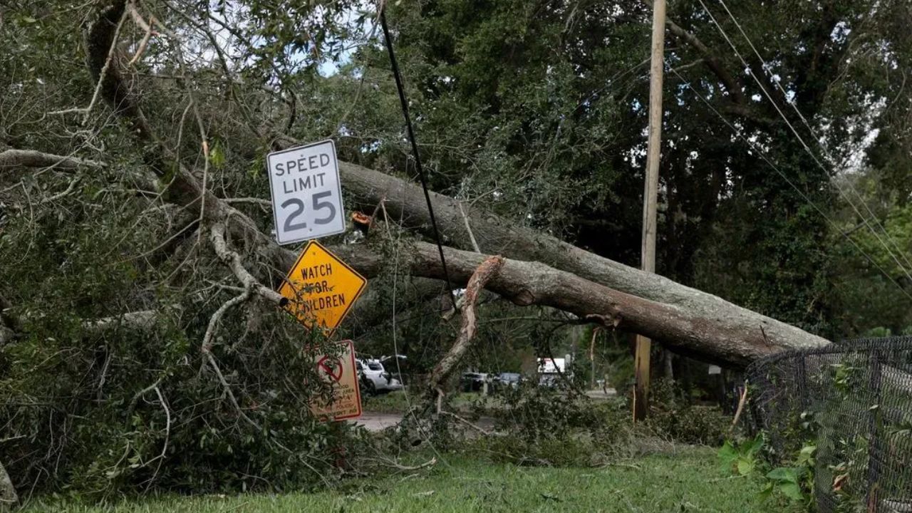
Boston, Massachusetts — A powerful storm could rapidly intensify off the New England coast, bringing strong wind gusts, dangerous ocean conditions and a possible burst of early-season snow to parts of the Northeast as colder air sweeps into the region.
The developing low-pressure system is expected to move across the Northeast before heading over the open Atlantic toward Canada. Forecasters are watching the system for a process known as bombogenesis, which can cause a storm to strengthen rapidly over a relatively short period.
While the system is expected to remain offshore, its powerful winds could still affect coastal communities, marine traffic and higher elevations across northern New England.
What Is Bombogenesis, and Why Does It Matter?
Bombogenesis occurs when a midlatitude cyclone’s central atmospheric pressure falls by at least 24 millibars within 24 hours. The rapid strengthening process is commonly described as a storm “bombing out.”
This type of intensification often develops when contrasting air masses interact with powerful upper-level jet stream dynamics. As the storm deepens, its pressure gradient can strengthen, potentially producing powerful winds and rough seas.
The developing system is expected to have a central pressure of around 1,000 millibars as it moves across the Northeast beginning Friday, according to the forecast information provided.
The storm’s eventual strength will depend on how quickly its pressure falls and how its track develops over the Atlantic.
Where Could the Strongest Winds Hit?
Parts of the Northeast could experience substantial wind gusts as the low-pressure system moves offshore.
Forecast projections indicate that gusts of 40 to 50 mph are possible along sections of the New England coast, with Boston and New York City among the locations mentioned. Binghamton, New York, is also included in the areas that could experience strong gusts.
The exact impacts will depend on the storm’s track, the timing of the strongest winds and local weather conditions.
Even when a storm’s center stays over the ocean, strong winds can affect exposed coastal areas, make driving difficult and create hazards for people outdoors.
Residents should monitor updated forecasts and any advisories issued by the National Weather Service as the system approaches.
Dangerous Seas Could Develop Near Atlantic Canada
The strongest conditions are expected over the open Atlantic and toward Atlantic Canada, where wind gusts could reach 60 to more than 70 mph.
These winds could generate large, steep waves and hazardous marine conditions near Nova Scotia and Newfoundland.
The combination of powerful winds and rough seas can pose serious risks to fishing vessels, commercial shipping and recreational boaters. Conditions can deteriorate quickly when a rapidly strengthening storm moves through busy marine areas.
Because the low is expected to remain offshore, the prevailing winds along much of the Eastern Seaboard are forecast to blow from land toward the ocean.
This westerly to northwesterly flow generally limits the potential for significant storm surge and coastal flooding along east-facing beaches compared with onshore winds.
However, offshore winds do not eliminate every coastal hazard. Strong gusts, rough surf and dangerous conditions for anyone on or near the water may remain concerns.
Could Parts of New England See Snow?
The storm could also bring a brief taste of winter to higher elevations as colder air wraps around the developing low-pressure system.
Rain could change to snow across the White Mountains of New Hampshire and the Green Mountains of Vermont, particularly at higher elevations where temperatures are more favorable for snowfall.
Forecast projections suggest that some areas of the Adirondacks, northern New England and northern Maine could receive 1 to 3 inches of snow.
The potential snowfall will depend on temperatures, precipitation intensity and the storm’s final track. Accumulations may vary considerably between mountain summits and lower elevations.
Even a relatively small amount of early-season snow can create slippery roads in colder locations, especially where temperatures approach or fall below freezing.
What Should Residents Watch Next?
The storm’s offshore track is an important factor in determining how much of its strongest weather reaches land. A shift in the track or a change in the rate of intensification could alter wind forecasts and the areas most likely to experience hazardous conditions.
Coastal residents should secure loose outdoor items if strong gusts are forecast, while boaters should pay close attention to marine advisories and avoid heading into dangerous seas.
People in northern New England and other elevated areas should also watch for updated snowfall forecasts and possible travel impacts.
Are you in the Northeast? How are you preparing for the strong winds, dangerous seas, and possible mountain snow? Share your local weather conditions and thoughts in the comments below!