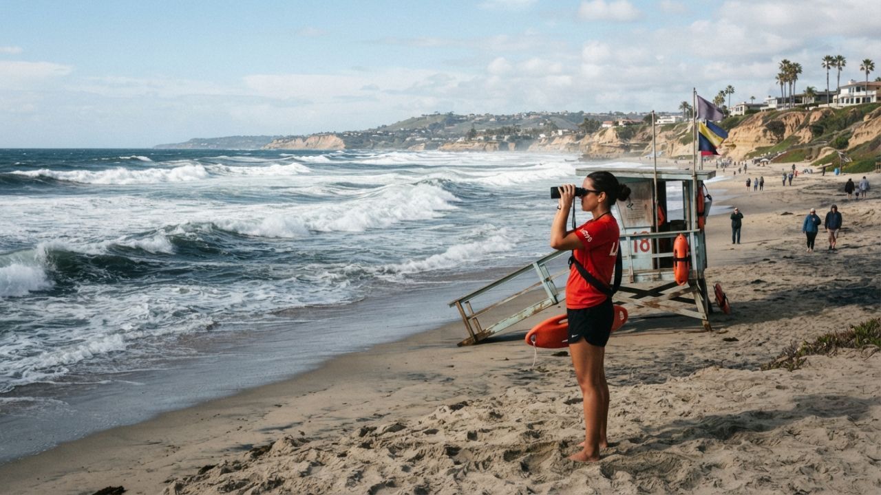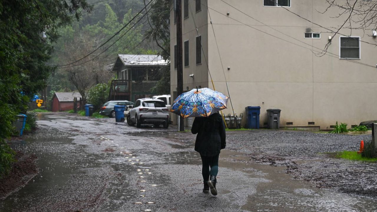
Los Angeles, California — California could be in for a wetter-than-normal winter in 2026, as a very strong El Niño develops across the Pacific and historical weather patterns point toward increased precipitation across much of the state.
But forecasters are also looking at a major lesson from the past. While El Niño often increases California’s chances of a wet winter, it does not guarantee where storms, atmospheric rivers or the heaviest rainfall will occur.
Scientists have recorded El Niño events and their impacts since 1950. Of the 28 events observed during that period, only three winters featured El Niño conditions considered comparable to the exceptionally strong setup being seen this year: 1982-83, 1997-98 and 2015-16.
Those winters provide useful clues, but they also show just how different one El Niño season can be from another.
California Usually Gets More Rain During El Niño
Looking across all 28 El Niño events, California has generally experienced wetter-than-normal conditions.
Southern California averaged between 110% and 120% of normal precipitation, while Northern California averaged approximately 100% to 110% of normal.
The pattern changes somewhat depending on the strength of the El Niño. Weak events have typically brought below-average precipitation to parts of the Bay Area, while Southern California has generally remained wetter than normal.
The central and southern California coast has also tended to average above-normal precipitation during moderate, strong and very strong El Niño events.
That historical record is one reason the upcoming winter is attracting so much attention.
Three Strong El Niño Winters Tell Different Stories
The strongest historical comparisons are the winters of 1982-83, 1997-98 and 2015-16.
The first two produced remarkably wet conditions along the California coast. During both 1982-83 and 1997-98, Southern and Central California’s coastal areas received roughly twice their usual rainfall.
The 2015-16 winter was dramatically different. Although forecasts had called for wetter-than-normal conditions, much of the California coast actually finished below average.
That unexpected result demonstrates why relying on El Niño alone can be misleading.
What Went Wrong in 2015-16?
El Niño was not the only force shaping the atmosphere during the 2015-16 winter.
That season featured unusually warm water across parts of the Indian Ocean and western Pacific. Those ocean temperatures influenced atmospheric patterns in a way that pushed storms farther north than expected.
Instead of repeatedly targeting California, many of those storms moved toward the Pacific Northwest, which experienced exceptionally heavy precipitation.
The pattern was not caused by El Niño alone, but it became an important factor in determining where winter storms traveled. That experience remains an important warning for forecasters heading into another potentially strong El Niño winter.
This Winter Looks Different
There is one major difference between the upcoming winter and 2015-16: the warm pool in the Indian and western Pacific oceans is not currently present in the same way.
That has increased confidence among forecasters that California could receive above-normal precipitation this winter. Another factor being watched is warmer-than-normal water in the North Pacific.
Those ocean temperatures could influence the jet stream, potentially shifting its path farther south and allowing more storms to reach Southern California.
However, there remains considerable uncertainty about exactly where those storms will track.
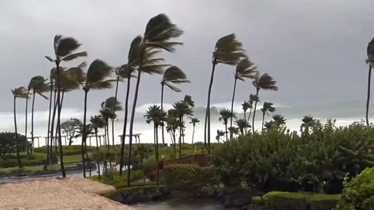
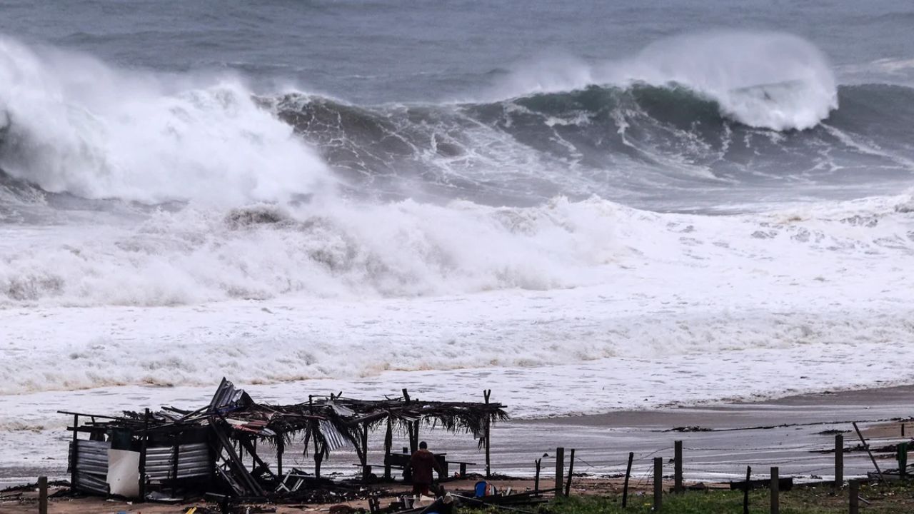
Major Hurricane Polo Takes Aim at Baja California With 125 MPH Winds and Two Landfalls Expected
Atmospheric Rivers Remain the Wild Card
Even if California ends up wetter than normal overall, the distribution of rainfall could vary dramatically from one part of the state to another.
Warmer ocean water evaporates more readily, adding additional moisture to the atmosphere. That extra moisture can contribute to heavier rainfall when storms develop.
But moisture alone does not determine where the heaviest precipitation falls.
The position of the jet stream, the storm track and atmospheric river landfalls can all determine whether a particular region receives beneficial rainfall or potentially damaging flooding.
That means a wetter overall winter could still contain long dry stretches followed by periods of extremely heavy rain.
El Niño Offers a Clue, Not a Guarantee
Current forecasts generally point toward above-average precipitation across Central and Southern California, with no major forecast currently showing those areas finishing the winter below normal.
Still, the 2015-16 season remains a reminder that even a powerful El Niño cannot determine the exact outcome.
California’s 2026 winter could ultimately follow the wetter patterns seen in 1982-83 and 1997-98—or develop a substantially different storm track.
For now, the strongest signal is that California has an elevated chance of a wet winter, while the precise timing and location of the biggest storms remain uncertain.
What kind of winter are you expecting across California in 2026? Are you hoping for more rain, or are you concerned about the potential for flooding and powerful atmospheric rivers? Share your thoughts in the comments.