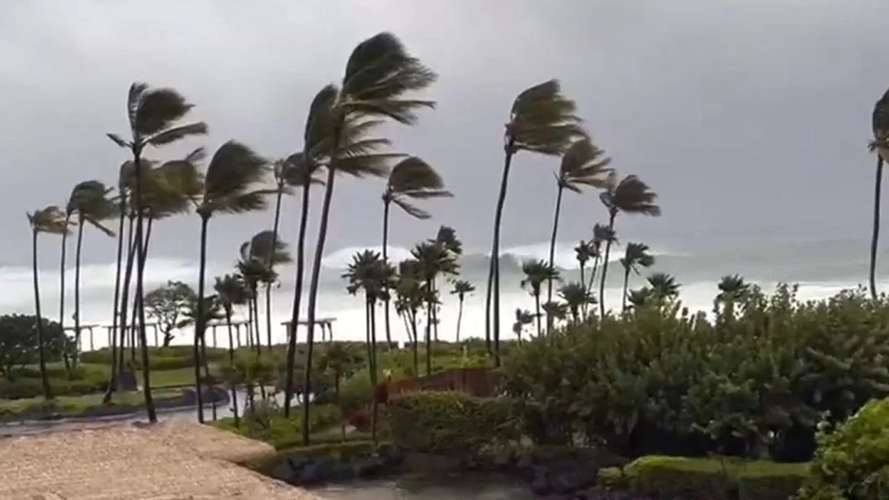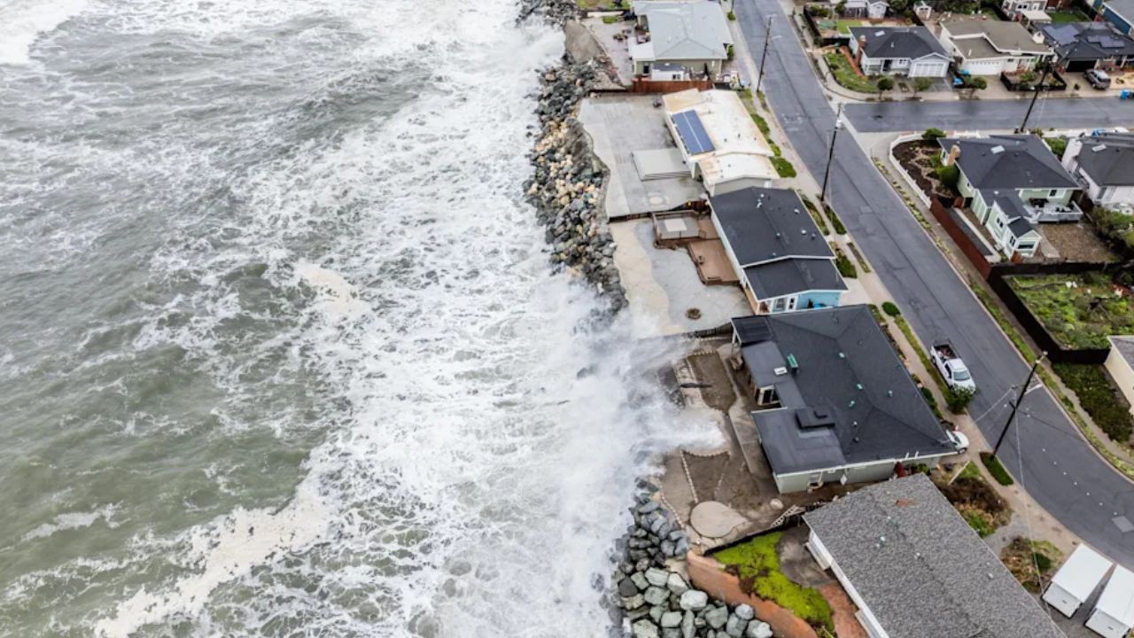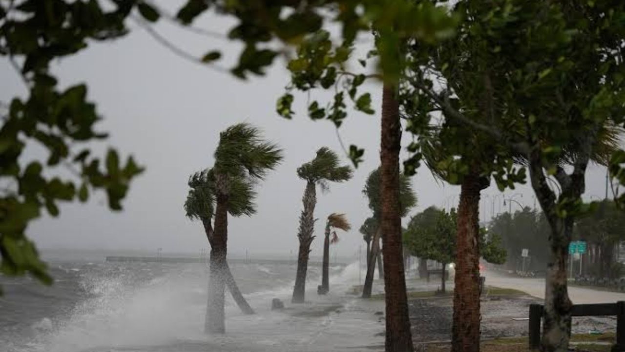
Miami, Florida — A new tropical weather threat could develop near Florida and the Bahamas before Halloween, raising concerns about coastal flooding, rough surf, dangerous rip currents and periods of heavy rain along parts of the southeastern United States.
Although tropical development is not guaranteed, forecasters are monitoring the western Atlantic for the possibility of a tropical or subtropical storm forming next week. The developing weather pattern could affect coastal areas from Florida to South Carolina, even if no named storm develops.
With the Atlantic hurricane season continuing through November, the latest forecast serves as a reminder that tropical weather threats can persist into late October.
Tropical Storm Threat Could Develop Near Florida
The western Atlantic could see another round of unsettled weather as a nearby frontal system interacts with changing atmospheric conditions.
Forecast projections indicate a low risk of tropical or subtropical storm development next week across an area stretching from Florida to waters just east of the Bahamas.
Strong wind shear and a nearby front could initially prevent the developing system from organizing into a tropical storm. Wind shear occurs when wind speed or direction changes with height, potentially disrupting the structure of a developing tropical cyclone.
Conditions could change later in the week, however, and more than one storm system could develop in the region and move northeast over the Atlantic.
The potential for tropical development may differ from one system to another, making updated forecasts important as the weather pattern evolves.
Florida and South Carolina Could Face Coastal Flooding
Even without a named tropical storm, coastal communities could experience hazardous conditions as the weather pattern strengthens winds and increases wave activity.
The forecast calls for rough surf, above-normal tides and prolonged beach erosion along parts of the coast from Florida to South Carolina well into next week.
Miami and Charleston are among the cities that could face repeated coastal inundation because of their exposure to high tides and vulnerable shoreline areas.
The timing is particularly important because the full moon can contribute to higher astronomical tides. When these tides coincide with unfavorable coastal weather, water levels can rise enough to cause flooding in locations that regularly experience tidal inundation.
Some communities could experience multiple rounds of flooding during the period, depending on local tides, winds and ocean conditions.
Residents in flood-prone coastal neighborhoods should monitor local forecasts and any advisories issued by weather and emergency management officials.
Dangerous Surf and Rip Currents Could Affect Beaches
Beach conditions could deteriorate even if the potential storm remains offshore.
Powerful waves and strong currents are expected to create hazards for swimmers along portions of the southeastern Atlantic coast. Frequent, strong rip currents and pounding surf could make entering the water particularly dangerous.
Rip currents are powerful channels of water moving away from the shoreline. They can quickly pull swimmers away from the beach, including people who are otherwise confident in the water.
Rough surf can also increase the risk of beach erosion, damage dunes and affect coastal access points.
Beachgoers should pay attention to warning flags, posted restrictions and local lifeguard instructions. If dangerous surf or rip-current warnings are in effect, staying out of the water is the safest option.
Boaters should also monitor marine forecasts because rough seas and changing winds can make offshore travel hazardous.
Heavy Rain Could Add to the Weather Concerns
Rainfall is another potential concern as the weather system develops.
A nearby front could initially bring additional moisture and downpours to parts of the southern Atlantic Coast. A slowly developing storm could then contribute to further rainfall later in the forecast period.
The amount and location of any heavy rain will depend on how the systems develop and move. Areas that experience repeated rounds of showers could face localized water accumulation, particularly in places with poor drainage.
If a tropical or subtropical system forms, it could increase rainfall and worsen already rough marine conditions.
Forecasters will continue assessing the timing, track and strength of any developing system to determine which communities could face the greatest impacts.
Could the Next Atlantic Storm Be Named Kyle?
If a tropical or subtropical storm develops in the monitored area and receives a name, it could be called Kyle, according to the forecast information provided.
However, the possibility of a named storm remains uncertain. The presence of unsettled weather or a low-pressure system does not automatically mean that a tropical cyclone will form.
Meanwhile, Tropical Storm Josephine is bringing stormy conditions to Newfoundland, Canada. It is expected to merge with another storm over the North Atlantic and contribute to a series of windstorms forecast to affect the United Kingdom and northwestern Europe next week.
There were no other signs of tropical development elsewhere in the Atlantic basin in the forecast information provided.
Atlantic Hurricane Season Continues Through November
The Atlantic hurricane season does not officially end until November 30, leaving time for additional tropical systems to develop after the traditional summer peak.
For now, the main concerns around Florida, the Bahamas and the southeastern coast involve the possibility of tropical development, high tides, rough surf and heavy rain.
Residents should follow updated forecasts from the National Hurricane Center and local National Weather Service offices rather than assuming that a storm will form or that its eventual path is certain.
Are you living along Florida’s Atlantic coast or planning a beach trip before Halloween? Share your local weather conditions and let us know in the comments how these potential storm and flooding threats could affect your plans.