Albany, New York — The coldest air of the season is about to sweep across the Northeast and Great Lakes, bringing the first widespread frost and freeze threat for millions after an unusually warm stretch of summerlike weather.
A powerful area of high pressure moving in from Canada will send temperatures sharply lower beginning this weekend. The change will be especially noticeable along the Interstate 95 corridor, where temperatures reached the mid- to upper 80s on Friday.
By Sunday, temperatures are expected to be 10 to 20 degrees lower across much of the region as a cold front pushes through and brings a much more autumnlike pattern.
Cold Front Will End the Summerlike Warmth
The dramatic cooldown begins Friday night as a cold front moves across the Northeast.
The warmth that pushed temperatures well into the 80s will quickly give way to colder air arriving from Canada. For many locations, the shift could mark the end of the season’s more persistent summerlike temperatures.
By Sunday, cooler conditions will be firmly established across the region.
The coldest nights are expected to follow as high pressure settles over the Northeast, allowing skies to clear and winds to become lighter. Those conditions are particularly favorable for temperatures to drop sharply overnight.
Rural Areas Face the Greatest Freeze Risk
Not everyone will experience the same level of cold.
Communities along the Great Lakes shorelines may avoid frost overnight because the relatively warm lake waters can moderate temperatures nearby.
Major cities are also likely to remain somewhat warmer than their surrounding areas because of the urban heat island effect, which can keep nighttime temperatures elevated.
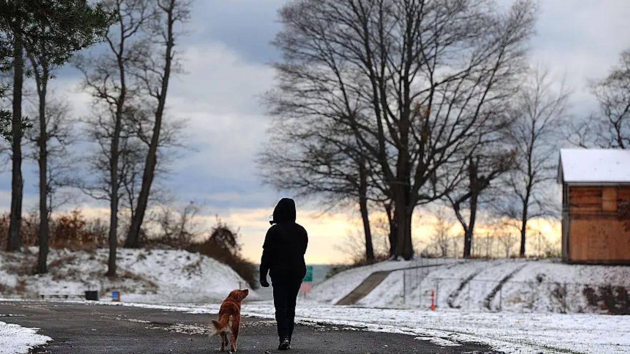
The greatest concern will instead be across inland and rural locations, particularly valleys and higher elevations where temperatures can fall more quickly under clear skies.
By Monday night and early Tuesday morning, the frost and freeze threat is expected to expand farther east into the Appalachians and interior Northeast.
The most significant threat of a killing freeze is expected across areas stretching from the northern mountains of Pennsylvania through the Adirondacks of New York and into Vermont’s Green Mountains.
Gardeners May Need to Protect Plants
The first widespread frost could have an immediate impact on gardens and sensitive vegetation.
Plants that are vulnerable to freezing temperatures may need to be brought indoors or covered during both nights, particularly in locations where temperatures are expected to fall below freezing.
Early-season frost and freezes are not unusual across the Great Lakes and Northeast. In many parts of the region, the historical average first freeze occurs between Oct. 1 and Oct. 15, while higher elevations typically experience their first freeze earlier.
For gardeners who have continued growing warm-season plants into the fall, the approaching cold could signal the end of the growing season.
Sunny Days Will Follow the Cold Nights
Despite the sharp overnight chill, daytime weather is expected to be much more comfortable.
The area of high pressure should bring drier and less humid autumn air on Monday and Tuesday, along with plenty of sunshine, light winds and pleasant afternoon temperatures.
That combination could make the daytime weather feel considerably better than the chilly mornings.
October Weather Could Take a Spooky Turn With El Niño Driving Rain and Unseasonable Heat
The biggest temperature contrast will occur between the afternoon and overnight hours, with comfortable sunshine giving way to potentially freezing temperatures after dark in the coldest locations.
Fall Colors Could Accelerate
The arrival of colder nights could also speed up the seasonal transition across New England.
Peak fall foliage has already begun appearing across portions of the region, and the colder overnight temperatures should help accelerate the progression of fall color farther south.
The changing weather could therefore bring a noticeable shift in the landscape over the next several days, particularly across the higher elevations and northern portions of the Northeast.
For residents, the message is clear: the unusually warm weather is giving way to a much colder pattern, and the first widespread frost and freeze threat of the season could arrive quickly.
Are you ready for the first real freeze of the season? Share your city and state in the comments and let us know whether you’ve already seen signs of fall—or if summerlike weather is still hanging on where you live.