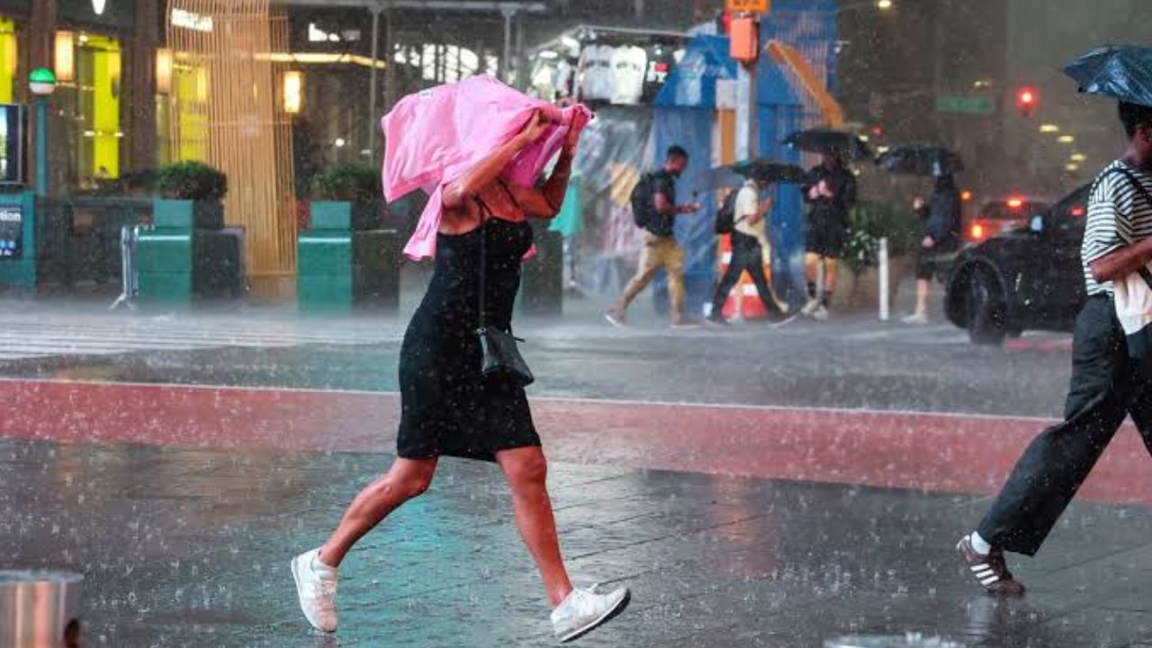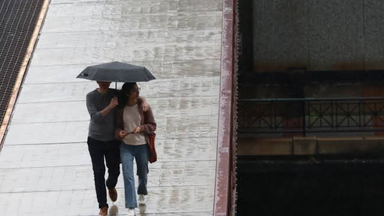
Chicago, Illinois — Rain and showers are expected across Chicago over the next couple of days, with the heaviest downpours potentially causing flooding through Thursday. Clouds will dominate the weather today as temperatures remain in the 60s and gusty winds occasionally reach 20 mph.
Forecasters are also watching the possibility of a rumble of thunder, particularly with any heavier rainfall that develops today or Wednesday.
Rain Threat Continues Through Thursday
Chicago’s wet pattern is expected to continue into tonight and through tomorrow night.
Temperatures will rebound into the low 70s on Wednesday, but the warmer conditions will come with additional chances for rain. Some periods could feature heavier downpours, increasing the risk of localized flooding.
The heaviest rainfall could create the biggest problems from Chicago points north, where repeated showers may leave some areas with standing water and difficult travel conditions.
A rumble of thunder is also possible if some of the heavier rain develops enough to produce isolated thunderstorms.
For residents heading to work, school or running errands, the combination of rain, gusty winds and reduced visibility could make portions of the Wednesday commute more challenging.
Friday Brings a Major Weather Change
After the unsettled weather moves through, conditions are expected to improve quickly. Friday is forecast to be mostly sunny, with temperatures reaching the upper 60s.
The return of sunshine should provide a noticeable break from the wet conditions affecting the Chicago area earlier in the week. Any lingering wet roads or standing water should have an opportunity to dry as skies clear and precipitation moves away.
A Sunny Weekend Is Ahead
The forecast becomes much more favorable heading into the weekend.
Saturday and Sunday are both expected to be sunny, with highs staying in the upper 60s. The pleasant weekend forecast could offer a significant contrast to the rain and potential flooding concerns earlier in the week.
With sunshine expected both days, outdoor plans should benefit from the calmer weather, although residents should still keep an eye on any updates as the forecast gets closer to the weekend.
Tampa Could Finally Get Some Much-Needed Rain as Dry Air Moves Out and Rain Chances Rise This Week
Sunshine Continues Into Next Week
The stretch of calmer weather is expected to continue into Monday and Tuesday. Temperatures will ease back into the low 60s, but sunshine is expected to remain in place.
That means Chicago could go from several days of rain and potential flooding to a prolonged period of dry and sunny weather in a relatively short time.
For now, the main weather concern remains the rainfall expected through Thursday.
What Chicago Residents Should Watch
The most important period will be today through Thursday, when repeated showers and heavier bursts of rain could produce localized flooding.
The risk is particularly notable north of Chicago, where the heaviest rainfall could occur. Drivers should be prepared for wet roads and reduced visibility during stronger showers, while residents in flood-prone areas should pay attention to local weather alerts.
After Thursday, conditions are expected to improve substantially, with sunshine returning Friday and continuing through the weekend.
Are you already seeing heavy rain in Chicago? Let us know how the weather is affecting your area in the comments, and share whether you’re looking forward to the sunny weekend ahead.