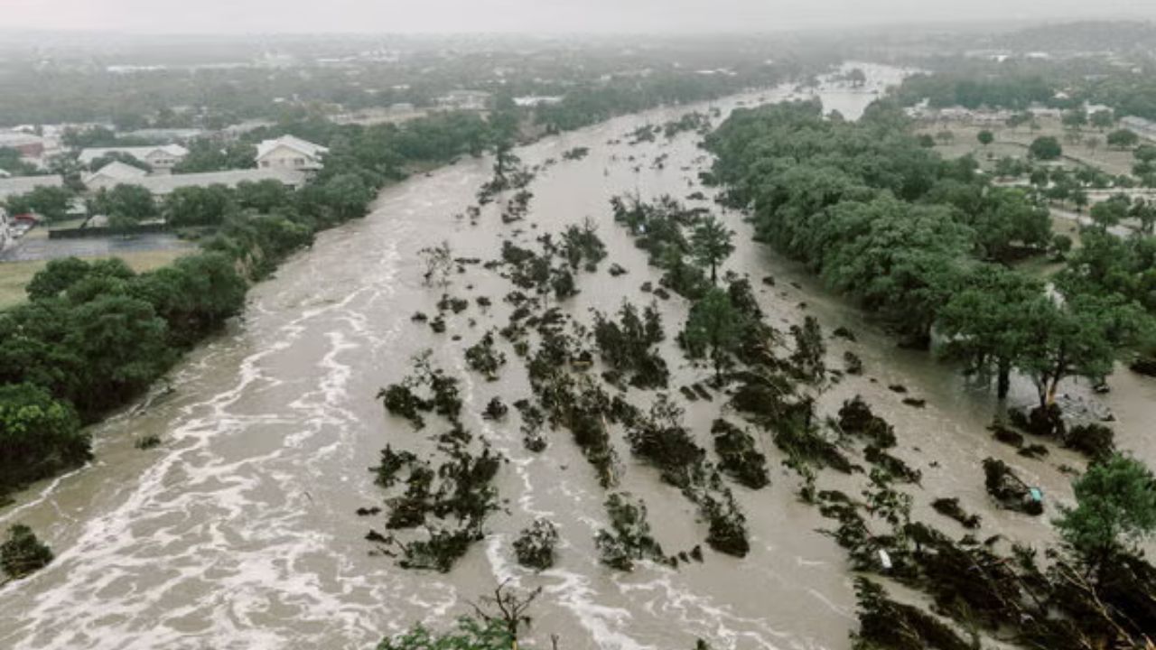
Del Rio, Texas — Texas is facing an increasing flood threat as moisture associated with Tropical Depression Vance moves north, bringing repeated rounds of showers and thunderstorms to parts of the state. Several areas could receive multiple inches of rain, raising concerns about flash flooding and potentially disrupting travel ahead of Halloween.
Rain is expected to move into southwestern Texas on Thursday before spreading northward into other parts of the state later in the day. Forecasters expect periods of heavy rainfall to continue into Friday, with the threat eventually extending into Oklahoma.
The latest outlook calls for widespread rainfall totals of 1 to 2 inches, with isolated amounts reaching up to 3 inches. Where storms repeatedly pass over the same locations, water could accumulate quickly, especially in areas that have already received substantial rainfall.
Flash Flood Threat Expands Across Texas
A Level 2 out of 4 flash flood threat is in place for Thursday across an area stretching from Del Rio to Lubbock, according to the forecast information provided.
Flood Watches have also been issued for parts of West Texas, signaling the potential for conditions that could lead to flooding.
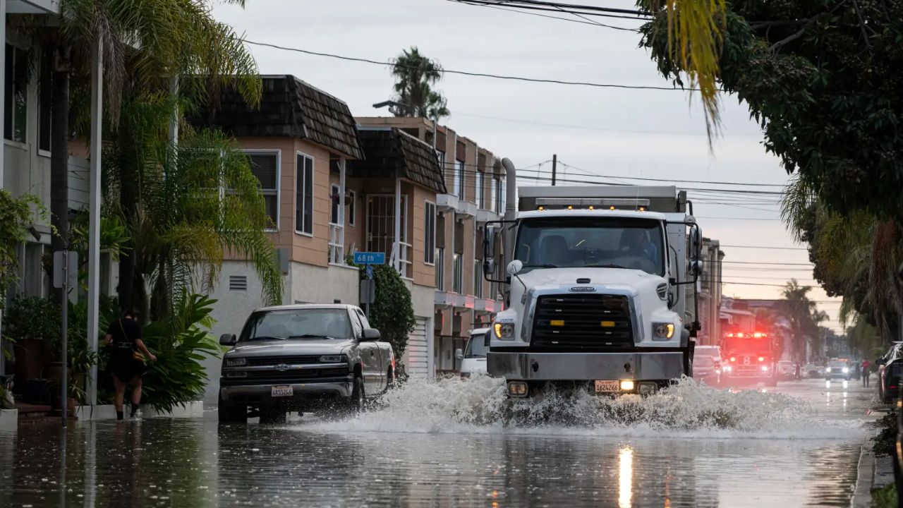
The main concern is the possibility of repeated showers and thunderstorms dropping heavy rain over the same areas. Even when individual storms move through quickly, additional rounds of rainfall can overwhelm drainage systems and cause water to collect on roads and in low-lying locations.
Residents in the affected areas should monitor updated forecasts and local weather alerts as the rain develops.
Where Could the Heaviest Rain Fall?
Southwestern Texas is expected to see the initial round of rain on Thursday, with precipitation spreading northward later in the day.
West Texas communities could face periods of heavy showers as tropical moisture moves inland. Areas between Del Rio and Lubbock are included in the Level 2 flash flood threat, making local conditions particularly important to watch.
Rain is expected to spread across much of West and Central Texas on Friday before reaching parts of Oklahoma.
A lower, Level 1 out of 4 flash flood threat is forecast to extend from northern Oklahoma southward across Central and West Texas. Locations mentioned in this outlook include Oklahoma City, San Antonio and Fort Worth.
Although a Level 1 threat represents a lower category than Level 2, localized flooding can still occur. The actual impact will depend on rainfall intensity, storm movement and how much rain has already fallen.
Why Texas Faces Another Flood Concern
The latest rain threat follows multiple rounds of significant flooding across Texas and other parts of the Southwest earlier this year.
Repeated surges of Pacific moisture have contributed to periods of heavy precipitation in the region. The supplied forecast also points to broader atmospheric patterns, including the developing possibility of a Super El Niño and activity across the Pacific basin, as part of the wider weather context.
However, the immediate concern is the moisture associated with Tropical Depression Vance and the potential for several rounds of rain over Texas.
Areas that have already experienced wet conditions may be more vulnerable to additional rainfall because the ground may have less capacity to absorb incoming water. Runoff can then collect rapidly in streets, drainage channels and other low-lying areas.
Could the Rain Affect Halloween Plans?
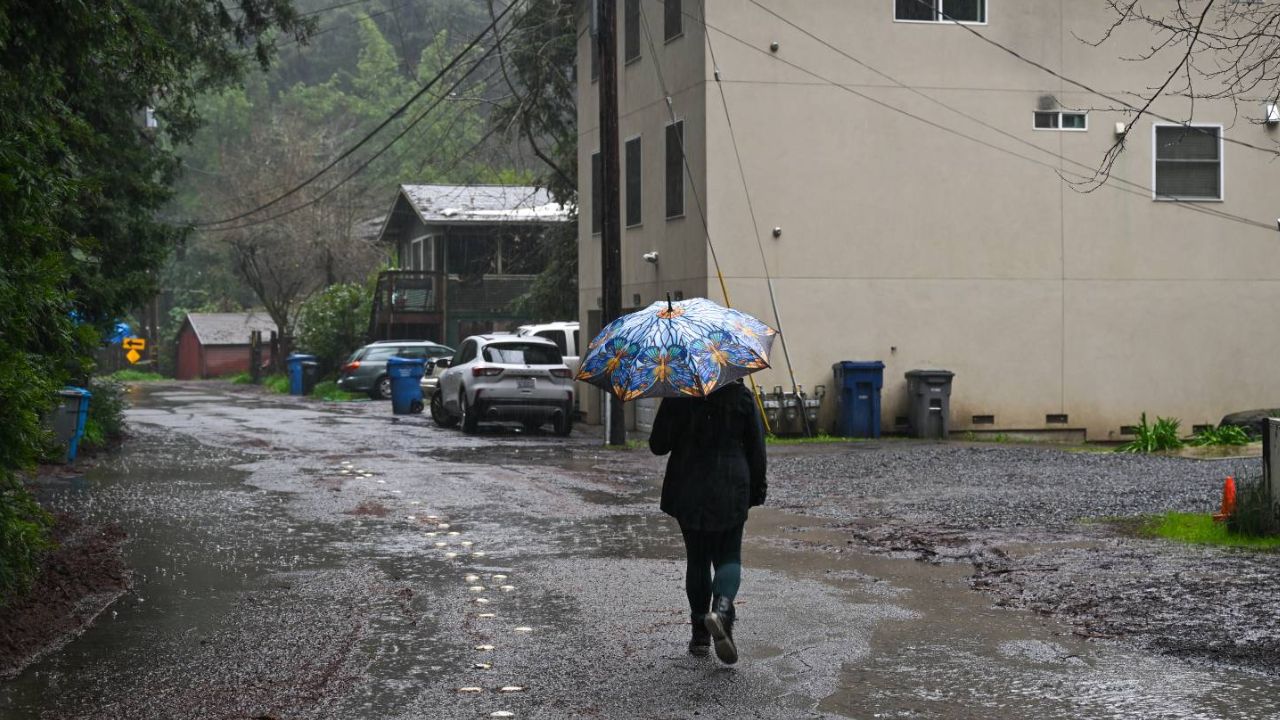
The timing of the rain could create challenges for Texans preparing for Halloween activities, including outdoor events and trick-or-treating.
Showers and thunderstorms may affect parts of the state Thursday and Friday, but conditions will vary by location. The forecast information does not establish that all Halloween activities will be disrupted.
Winter Weather Returns Before Halloween as Snow Forecast Expands Across Western Mountains
Families planning to go trick-or-treating should check their local forecast before heading outside and consider having an indoor alternative if storms develop.
Drivers should also be prepared for wet roads and reduced visibility during heavy downpours. Never drive through floodwater, even if the road appears passable. Water can be deeper or move faster than it looks.
What Texans Should Do as the Rain Moves In
Residents in areas under Flood Watches or flash flood threats should stay alert for updated information from local officials and the National Weather Service.
People should avoid flooded roads, keep away from swollen creeks and drainage channels, and be ready to change travel plans if conditions deteriorate. Those living in flood-prone locations should pay particular attention to local warnings.
The forecast calls for widespread rainfall of 1 to 2 inches, with isolated totals of up to 3 inches, but the distribution of the heaviest rain could change as the system moves north.
The key concern is whether repeated thunderstorms will bring enough rain to trigger flash flooding in vulnerable areas. Updated local forecasts will help residents determine when the heaviest rain is expected and whether outdoor plans need to change.
Are you seeing heavy rain in your part of Texas? Share your local weather conditions and let others know how the storms are affecting your area.