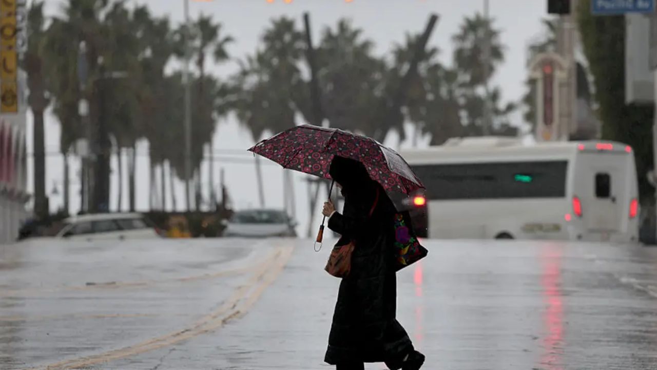
Chicago, Illinois — A powerful cold front is setting the stage for a stormy weekend across the northern United States, with heavy rain, gusty winds and a renewed risk of severe thunderstorms expected to affect parts of the Midwest, Great Lakes and Northeast.
A developing low-pressure system is helping drive the unsettled weather, bringing periods of rain that could intensify into thunderstorms before spreading eastward. Several major cities, including Chicago, Detroit, Milwaukee and Indianapolis, are within the broader area of concern.
The unsettled pattern is expected to continue through Saturday, potentially affecting travel, outdoor activities and weekend plans across the region.
Severe Storm Threat Targets Midwest and Great Lakes
Rain began spreading across portions of the Midwest and Great Lakes on Thursday, with precipitation expected to intensify overnight as the cold front interacts with the developing low-pressure system.
A Level 1 out of 5 severe storm threat is in place across an area stretching from St. Louis to Cleveland, according to the forecast information provided.
At this level, isolated severe storms are possible, although conditions can vary considerably from one location to another. If thunderstorms strengthen, damaging wind gusts are expected to be the primary concern.
Cities within or near the broader weather threat include Chicago, Detroit, Milwaukee and Indianapolis. Residents in these areas should monitor updated local forecasts, particularly if thunderstorms develop during the evening or overnight hours.
Even storms that do not reach severe levels can produce periods of heavy rain, reduced visibility and difficult driving conditions.
Friday Rain Could Reach New York and New England
The weather system is expected to shift toward southeastern Canada on Friday, keeping wet conditions in place across parts of the Great Lakes and Northeast.
Downpours could affect Syracuse, New York, Burlington, Vermont, and Bangor, Maine, as the cold front continues moving east.
Wind gusts of 30 to 40 mph are possible, particularly along the New England coast. These winds could make travel more difficult for high-profile vehicles and create hazards around loose outdoor objects.
The combination of rain and gusty winds may also affect people commuting during periods of heavier precipitation.
Although the storm system is expected to move relatively quickly, repeated rounds of rain could leave some communities wet for much of the day.
Boston and New York City Face a Wet Saturday Forecast
The unsettled weather could continue overnight Friday as the cold front and low-pressure system push farther east.
By Saturday, attention is expected to shift toward the Interstate 95 corridor, including Boston and New York City, where periods of heavy precipitation could develop.
A Level 2 out of 5 severe storm threat is indicated for parts of the region heading into the weekend, according to the supplied forecast.
A Level 2 threat generally signals a greater potential for severe weather than a Level 1 outlook, although it does not mean every location will experience severe storms.
The main concern will be how the developing thunderstorms evolve as the front moves through. Residents should check the latest forecasts for their specific communities because the timing and intensity of storms may differ across the region.
Saturday’s weather could complicate outdoor events, road trips and other plans, especially during periods of heavier rainfall.
Rainfall Could Reach 1 to 2 Inches in Some Areas
Conditions are expected to begin improving in some locations by midday Saturday, when wind gusts could ease to around 20 to 30 mph.
However, drier conditions may not arrive everywhere at the same time. Light precipitation could continue from the Great Lakes into New England and parts of upstate New York.
Forecast projections suggest rainfall totals of around 0.5 to 1 inch across portions of the affected region, while some areas of upstate New York could receive closer to 1 to 2 inches.
Actual totals will depend on the storm’s track, the duration of rainfall and whether individual communities experience repeated downpours.
Periods of heavier rain could temporarily reduce visibility and create ponding on roads. Drivers should allow additional travel time and remain alert for changing road conditions.
Cooler Temperatures Will Make It Feel Like Fall
Along with the rain and wind, the cold front is expected to bring cooler air across the northern United States. Breezy conditions could make temperatures feel colder than the thermometer indicates, creating a more typical fall atmosphere after warmer conditions.
People planning to spend time outdoors may want to prepare for changing conditions by carrying rain gear and an extra layer of clothing.
The combination of chilly temperatures, wet roads and gusty winds could make Saturday feel particularly unpleasant in exposed areas and along the coast.
What Residents Should Watch Before the Weekend
The exact timing of the strongest storms and heaviest rainfall remains important as the system moves east. Residents across the Midwest, Great Lakes and Northeast should keep an eye on local weather alerts for changes in storm intensity or timing.
Those in areas under a severe storm threat should be prepared to move indoors if thunderstorms approach and follow instructions issued by local authorities.
Are storms expected in your area this weekend? Share your city and your local forecast in the comments, and let others know what conditions you are experiencing.


3 thoughts on “Severe Storm Threat Targets Chicago, Detroit and New York as Heavy Rain and Strong Winds Sweep the North”