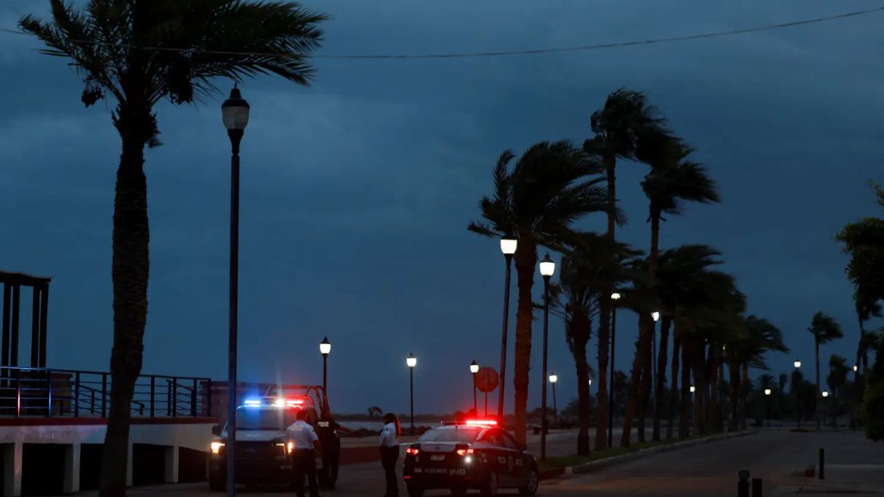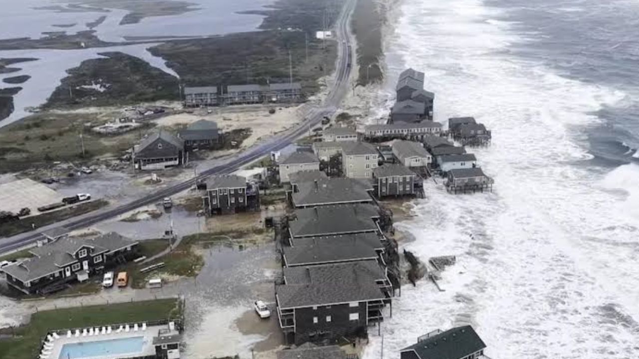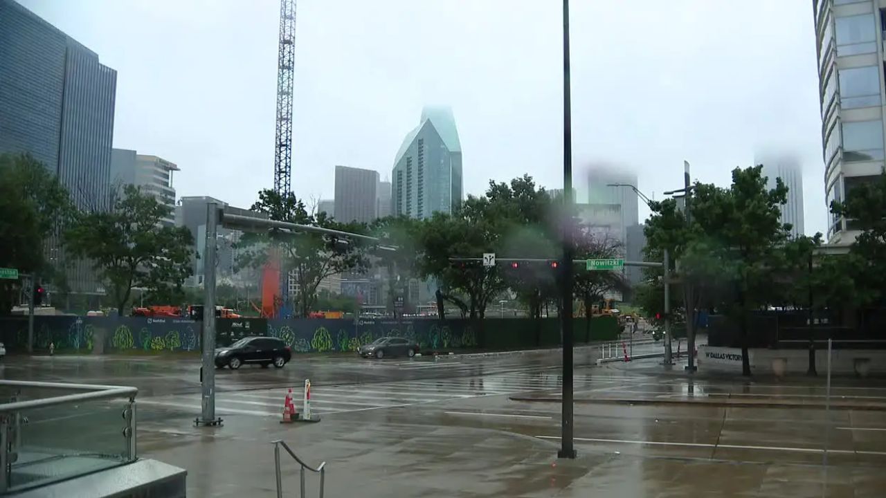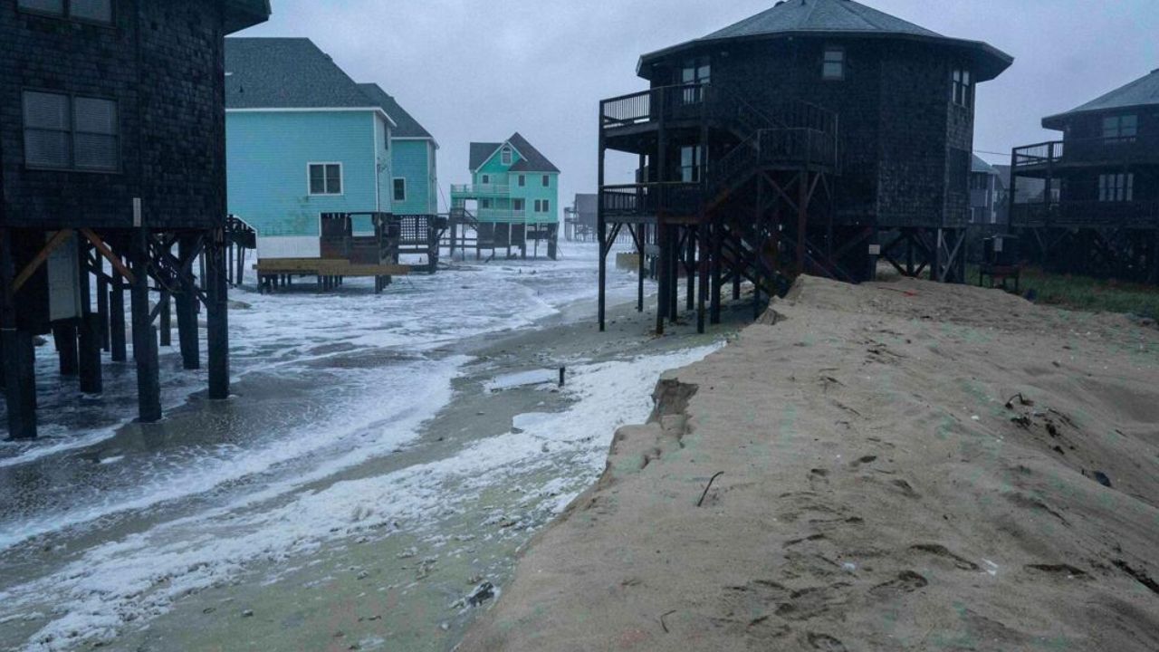
Dallas, Texas — A surge of tropical moisture is set to bring rounds of heavy rain and thunderstorms across the Southeast and mid-Atlantic this weekend, creating a risk of localized flooding while much of the Northeast gets a much-needed break from recent wet weather.
The pattern begins Thursday evening, when heavy rain is expected to develop across eastern Texas, including Dallas, before gradually spreading east and north through the weekend.
Forecasters expect repeated rounds of thunderstorms to push as far north as the Delmarva Peninsula, with widespread rainfall totals of 1 to 3 inches and locally higher amounts possible where storms repeatedly move across the same locations.
Southeast Could Face Flooding Threat
The heaviest rainfall threat will focus on portions of the Southeast and mid-Atlantic, where tropical moisture will provide plenty of fuel for thunderstorms.
Areas that receive multiple rounds of storms could see significantly higher rainfall totals than surrounding locations. Localized flash flooding is possible, particularly in low-lying areas, places with poor drainage and urban communities.
Locations that have already received significant rainfall could also be more vulnerable because saturated ground has less capacity to absorb additional water.
The threat follows a week of serious flooding concerns farther west. Recent hurricanes in the Pacific have contributed to prolonged flooding across parts of the Southwest and Plains, where some communities have dealt with evacuations and water rescues.
Now, attention is shifting toward the Southeast as the moisture plume moves eastward.
Heavy Rain Could Spread Toward the Mid-Atlantic
By the weekend, the storm system is expected to expand northward, bringing rain and thunderstorms into portions of the mid-Atlantic.
Tropical moisture could reach areas as far north as the Delmarva Peninsula from late Saturday afternoon into Sunday. However, a separate push of dry Canadian air will limit how far north the heaviest rainfall can spread.
Forecasters expect most of the more significant rain to remain south of the Interstate 70 corridor, although locally heavy downpours could still develop within the wetter zone.
Repeated thunderstorms will be an important factor because rainfall totals can rise quickly when storms repeatedly pass over the same communities.
Northeast Forecast Trends Much Drier
While the Southeast prepares for another round of heavy rain, much of the Northeast is heading toward a considerably different weekend. The forecast has shifted drier along the Interstate 95 corridor, including areas that were drenched by last weekend’s nor’easter.
A fast-moving cold front will sweep through Friday, bringing rain and a few thunderstorms before much drier Canadian air arrives.
The front could create some Friday evening commute disruptions, particularly as showers and thunderstorms move through the region. However, widespread heavy rainfall is not expected.
Philadelphia and New York Could Warm Into the 80s
The Northeast could briefly feel more like summer before the cooler air arrives.
In Philadelphia and New York City, the front may hold off long enough for warmer air to surge northward, pushing afternoon temperatures into the 80s.
After the front passes, conditions should become much more comfortable for outdoor activities across much of the Northeast.
For residents hoping to enjoy the early days of fall, the weekend could provide a welcome contrast to the wet and unsettled conditions of the previous weekend.
Fall Foliage Set to Accelerate Next Week
October is quickly approaching, and fall foliage is already becoming more noticeable across parts of the Northeast.
Much colder conditions expected next week could accelerate the seasonal color change, with chilly overnight temperatures and daytime highs running slightly below historical averages.
Forecasters said:
“These weather conditions will also accelerate the color change farther south, with excellent viewing conditions into the Berkshires, Catskills, Poconos and even as far south as the West Virginia mountains,”
That could make the coming weeks particularly favorable for fall foliage viewing across the region.
For now, however, the weather story is sharply divided: flooding rain and thunderstorms across the Southeast and mid-Atlantic, while the Northeast enjoys a drier and increasingly autumn-like weekend.
Are you expecting heavy rain in the Southeast or enjoying the drier weather in the Northeast this weekend? Share your city and state in the comments and tell us what your local forecast looks like.