Reno, Nevada — Parts of California and Nevada could face heavy mountain snow and powerful wind gusts this Halloween weekend, with a new National Weather Service advisory warning that some areas may receive up to 12 inches of snow and winds reaching 45 mph.
The winter weather threat is expected to develop Saturday night and continue into Sunday morning, potentially creating slippery roads, travel delays and hazardous conditions across several mountain communities.
The latest advisory follows an earlier forecast highlighting possible snow across parts of the West as a broader weather pattern brings rain, mountain snowfall and changing temperatures to different regions of the country.
New Winter Weather Advisory Covers California and Nevada
On Thursday afternoon, the National Weather Service office in Reno issued a winter weather advisory covering areas along the California-Nevada border.
The advisory includes Truckee, Stateline, Glenbrook, Incline Village, South Lake Tahoe, Markleeville, Bridgeport, Lee Vining, Mammoth Lakes, Coleville and Tahoe City.
These locations could experience a combination of accumulating snow and strong winds as the weather system moves through the region.
The advisory is scheduled to remain in effect from Saturday night through Sunday morning, with the heaviest snowfall expected Saturday night.
Some higher-elevation locations could receive up to one foot of snow, while wind gusts could reach approximately 45 mph.
The amount of snowfall may vary depending on elevation and local weather conditions.
Which Areas Could See the Most Snow?
Mountain communities near Lake Tahoe and across the Sierra Nevada are among the locations facing the potential for significant snowfall.
Truckee, South Lake Tahoe, Tahoe City and Incline Village are included in the advisory area. Other communities, including Mammoth Lakes, Bridgeport and Lee Vining, could also experience difficult winter weather.
The combination of snow and gusty winds could make conditions especially challenging in exposed mountain areas.
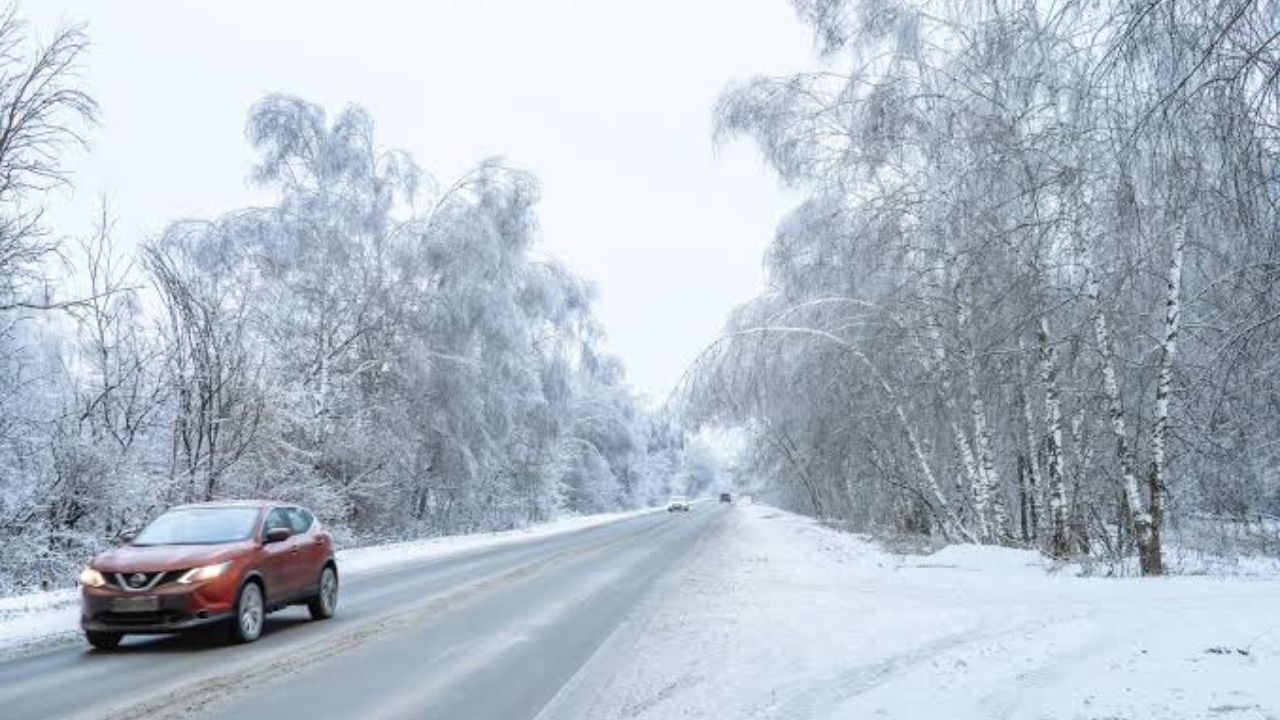
Even roads that remain open may become slippery, while blowing snow could reduce visibility in some locations.
Drivers traveling through the Sierra Nevada should be prepared for changing conditions, particularly during Saturday night when the heaviest snowfall is expected.
What Does a Winter Weather Advisory Mean?
The National Weather Service uses different alerts to communicate the seriousness and likelihood of approaching winter weather.
A winter storm watch, winter storm warning and winter weather advisory do not carry the same meaning.
According to the NWS, a watch generally indicates that significant winter weather is possible, while a warning means dangerous conditions are expected or occurring and could threaten life or property.
A winter weather advisory signals conditions that could create significant inconvenience and may become dangerous if people do not exercise caution.
The agency explains:
“As the event becomes imminent, a watch will normally be upgraded to either a warning or an advisory (which indicates an 80% or greater probability of occurence). A warning indicates that conditions pose a threat to life or property, and that travel will become difficult to impossible.”
It also explains:
“An Advisory indicates conditions pose a significant inconvenience, and if caution is not exercised, could lead to situations that may threaten life and/or property.”
The advisory is an important signal for residents and travelers to prepare before conditions deteriorate.
Strong Winds Could Create Additional Travel Problems
Snowfall is not the only concern associated with the approaching system.
Wind gusts reaching 45 mph could affect mountain roads and exposed communities. Strong winds may bring down tree branches and create additional hazards for drivers.
The National Weather Service has warned about the possibility of road closures and travel delays through the affected region. The combination of accumulating snow, gusty winds and reduced visibility could make some mountain routes particularly difficult to navigate.
Phoenix, San Diego and Four Corners Face Flooding Concerns as ‘Pineapple Express’ Approaches
Travelers should check road conditions before leaving, allow additional time for their journeys and carry appropriate winter driving equipment.
What the Earlier Halloween Weekend Forecast Said
The latest advisory also follows a broader weather outlook from The Weather Channel, which highlighted several different weather patterns expected across the United States during Halloween weekend.
The forecast indicated that rain and mountain snow could spread from Southern California across the Desert Southwest and the Rockies.
It also pointed to a developing storm across the Mississippi Valley and Gulf Coast, while much of the country was expected to experience warmer-than-normal temperatures.
The western United States, however, could see cooler conditions as the weather pattern changes. The latest Reno advisory provides a more specific warning for communities along the California-Nevada border.
What Residents and Travelers Should Watch
People living in the affected mountain communities should monitor updated National Weather Service forecasts throughout the weekend.
Drivers should be particularly cautious during Saturday night and early Sunday, when snowfall and strong winds could combine to create hazardous travel conditions.
Those planning Halloween weekend trips around Lake Tahoe, the Sierra Nevada or nearby mountain communities may want to reconsider travel timing if conditions worsen.
With up to 12 inches of snow and 45 mph wind gusts possible, this weekend could bring a significant winter weather challenge to parts of California and Nevada.
Are you planning to travel through the Sierra Nevada or Lake Tahoe area this Halloween weekend? Share your local weather conditions and travel plans in the comments below.