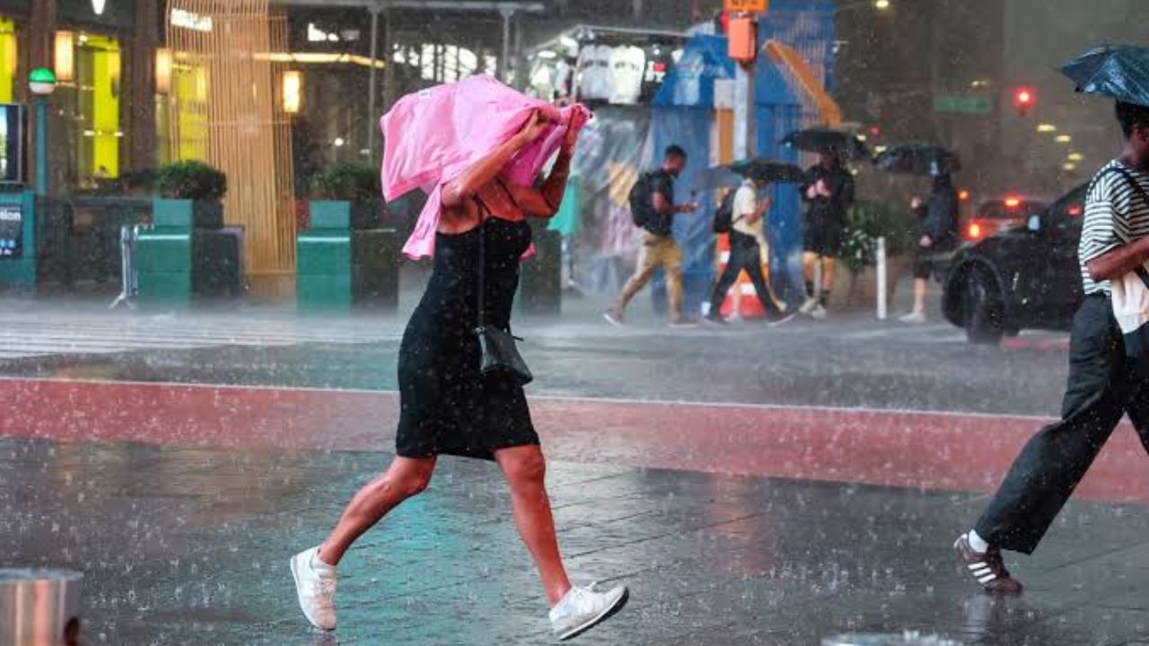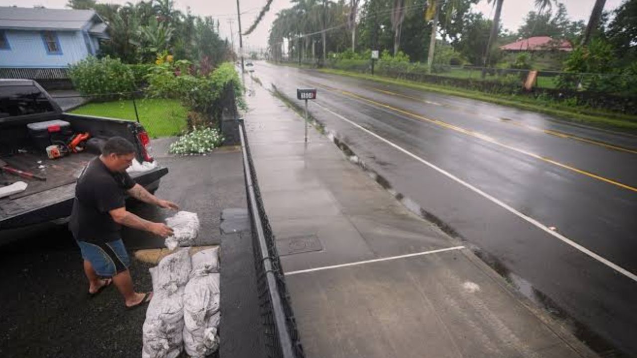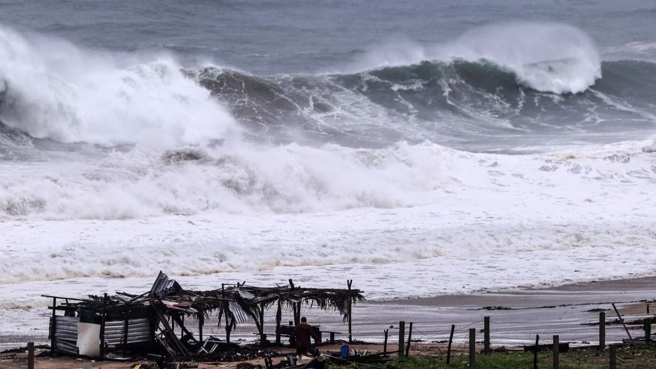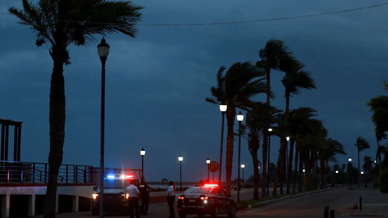
Los Angeles, California — Hurricane Polo’s most dangerous conditions may be moving away from Southern California, but the storm is still creating a significant rainfall and flooding threat across parts of the Southwest and Central United States. The hurricane battered Mexico’s Pacific coast before making landfall in Baja California Sur, bringing powerful winds, torrential rain and dangerous surf.
Polo came ashore Monday night along the west coast of Baja California Sur, just south of Las Barrancas, according to the National Hurricane Center. The storm was likely a Category 2 hurricane when it reached land, with maximum sustained winds estimated at roughly 105 to 110 mph.
By early Tuesday, Polo had weakened after moving over land but was still producing hurricane-force winds, with sustained winds around 75 mph and stronger gusts.
Polo Leaves Flooding and Damage Across Mexico
Before moving inland, Polo battered portions of Mexico’s Pacific coast with torrential rainfall, destructive waves and powerful winds.
Flooded streets and damaged properties were reported as the storm pushed through the region. The combination of heavy rainfall and mountainous terrain created additional concerns for flash flooding and mudslides.
Forecasters warned that dangerous flooding could continue as Polo’s moisture spreads across Mexico and eventually reaches the United States.
One social media post from Crisis Response International described the potential rainfall associated with the storm as “34 trillion gallons of rainfall headed toward the Southwest and Central U.S.”
The enormous amount of moisture highlights how far-reaching the storm’s effects could become, even as Polo itself weakens.
New Mexico and West Texas Face Flash Flood Threat
The National Weather Service issued a bulletin for portions of western Texas and New Mexico, warning of potentially dangerous flash flooding through early Wednesday.
Flash flooding has already developed in parts of New Mexico, where the Rio Grande has swollen beyond its banks. The threat is expected to shift farther east as Polo’s moisture interacts with additional weather systems.
By Thursday, areas stretching from central Texas into central Oklahoma could face another round of potentially heavy rainfall. Forecasters warned that several inches of rain could fall in some areas, with 5 to 6 inches or more possible across parts of Texas.
One meteorologist warned:
“Several inches of rain are possible, with 5–6+ inches possible across parts of Texas,”
The meteorologist added:
“Repeated rounds of storms could cause rainfall to pile up quickly, leading to life-threatening flash flooding.”
Southern California Still Watching the Coast
While Polo’s strongest impacts are shifting away from Southern California, coastal communities in Los Angeles and Orange counties are not completely in the clear.
The National Weather Service ended an earlier warning for high surf and coastal flooding Tuesday, but officials cautioned that dangerous ocean conditions could continue.
The combination of elevated surf and strong currents can remain hazardous even after the peak of a storm has passed. The National Weather Service said:
“The surf from Hurricane Polo has peaked and will lower rather quickly through Wednesday, but strong rip currents may linger.”
Officials also noted that Wednesday’s high tide would be lower than Tuesday’s but could still reach more than 7 feet.
That means beachgoers and people near the shoreline could continue to face dangerous conditions even as Polo’s direct influence weakens.
Another Tropical Storm Could Bring Bigger Swells
Polo may not be the final tropical system to affect Southern California’s coastline.
Tropical Storm Rachel was nearing hurricane strength Tuesday, with maximum sustained winds of about 70 mph as it moved along Mexico’s southwestern coast, according to the National Hurricane Center.
Rachel is expected to generate larger swells than Polo along Southern California during the early to middle part of next week.
The storm could create dangerous conditions along portions of Mexico’s southwestern coast as well. Officials warned:
“Large waves could produce life-threatening surf and rip current conditions along portions of the southwestern coast of Mexico during the next several days.”
Rain Threat Could Stretch Far Beyond Mexico
Polo’s weakening does not mean the weather threat is over.
As its moisture continues moving across the country, New Mexico, Texas and Oklahoma could experience some of the most significant flooding concerns, particularly where repeated thunderstorms produce heavy rainfall over already saturated areas.
Southern California, meanwhile, faces a different type of threat, with high surf, strong rip currents and elevated tides remaining concerns along the coast.
Residents in flood-prone areas should remain alert for rapidly changing conditions, while anyone near the ocean should take warnings about surf and rip currents seriously.
The next several days could show just how far the remnants of a powerful Pacific hurricane can influence weather across the United States.
Are you seeing the effects of Hurricane Polo or its moisture in your area? Share your city and state in the comments and tell us what the weather looks like where you are.