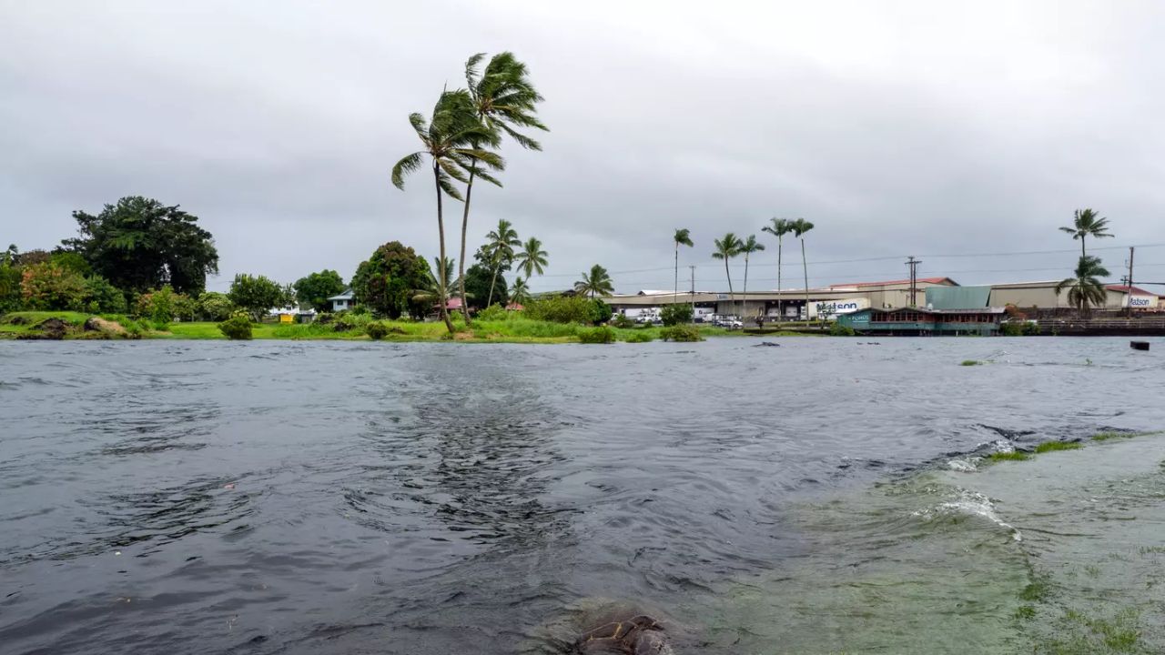
Honolulu, Hawaii — Hawaii is bracing for several days of heavy rain, thunderstorms and possible flash flooding as deep tropical moisture moves toward the islands ahead of Halloween. Although Tropical Storm Olana is expected to weaken far west of Hawaii, a separate weather system could bring dangerous rainfall to communities across the Aloha State.
The National Weather Service (NWS) in Honolulu warned that heavy rain and isolated thunderstorms could develop from late Monday night into Thursday, with the threat potentially continuing into the weekend. Forecast rainfall totals currently range from 2 to 8 inches in some areas, with the highest amounts expected at higher elevations.
Tropical Storm Olana Weakens as Hawaii’s Flood Threat Grows
Tropical Storm Olana formed in the Central Pacific after a tropical depression strengthened over the weekend. In its October 25 advisory, the National Hurricane Center reported maximum sustained winds near 40 mph as the system moved east-northeast at around 8 mph.
The storm is expected to weaken as it moves eastward, eventually becoming a remnant low around Wednesday before dissipating, according to the forecast advisory issued October 26. Its projected path keeps the storm’s center well away from the Hawaiian Islands.
However, the storm’s distance from Hawaii does not eliminate the possibility of dangerous weather. Tropical moisture associated with the broader weather pattern could fuel heavy showers and thunderstorms across the islands even as Olana loses its tropical characteristics.
Heavy Rain Could Bring Flash Flooding and Mudslides
The main concern for Hawaii is the potential for prolonged rainfall over multiple days. Forecast models indicate that deep tropical moisture will move north toward the islands, creating favorable conditions for heavy showers and isolated thunderstorms.
The National Weather Service’s latest forecast discussion places the strongest potential for heavy rain between Tuesday afternoon and Wednesday afternoon, although the threat could extend through Thursday or later.
Some locations could receive several inches of rain, with higher elevations potentially recording the greatest totals. Rainfall of 5 to 8 inches is possible in parts of Hawaii, although exact amounts and locations remain uncertain as forecasters continue evaluating the developing system.
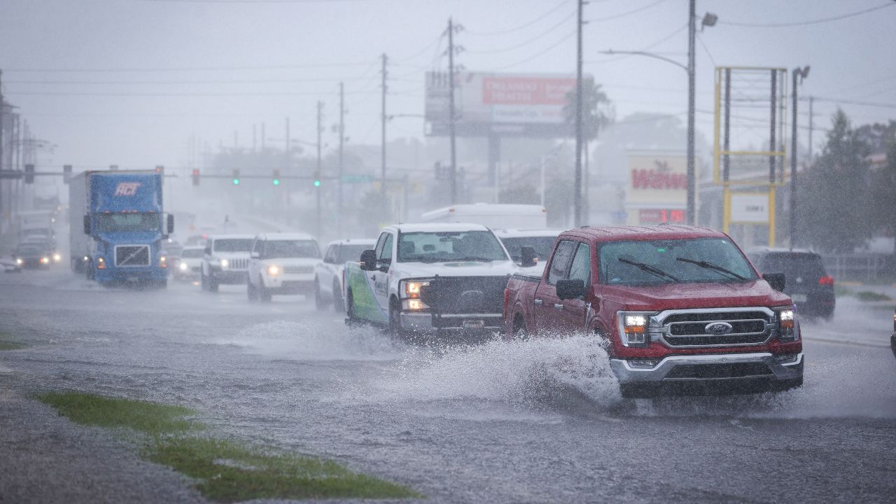
Heavy rain falling over a short period can overwhelm drainage systems, flood roads and cause water to rise quickly in low-lying areas. Mountainous terrain also increases concerns about runoff, erosion and possible mudslides.
Residents should avoid crossing flooded roads or walking through moving floodwater, as water depth and current strength can be difficult to judge.
South and West-Facing Slopes Could See Significant Rain
The incoming weather pattern could affect different parts of Hawaii in different ways because of shifting winds and the islands’ mountainous terrain.
Forecasters expect changing wind directions as small areas of low pressure move through the broader trough. These changes could push moist air toward slopes that do not always receive the heaviest rainfall during typical trade-wind conditions.
South- and west-facing slopes could experience particularly heavy showers as the weather pattern evolves. However, the precise locations of the heaviest rainfall remain uncertain, and conditions could change as updated forecast guidance becomes available.
The developing storms could also disrupt outdoor activities, island tours and travel, especially if heavy downpours reduce visibility or produce temporary road flooding.
Will Hawaii Face Another Storm for Halloween Weekend?
The unsettled weather pattern may not end when the first round of heavy rain moves through.
Forecasters are also watching the possibility of another low-pressure system developing west of Hawaii around Halloween weekend. Depending on its eventual track and strength, that system could bring additional rain into early November.
The National Weather Service expects above-normal rainfall to remain a concern into the weekend, although confidence in the timing and location of later rainfall is lower than for the initial Tuesday-through-Thursday period.
At this stage, the potential for another storm does not mean that a new tropical cyclone will necessarily form. The developing weather system and its possible impacts will require continued monitoring.
What Hawaii Residents Should Do Now
Residents should prepare for periods of heavy rain by monitoring local forecasts and official weather alerts throughout the week.
People in flood-prone neighborhoods should pay attention to changing conditions, particularly near streams, drainage channels and steep slopes. Drivers should be prepared for sudden downpours and avoid flooded roadways.
As Halloween approaches, the biggest concern is the possibility of repeated heavy rainfall rather than a direct hit from Tropical Storm Olana. Forecast details remain subject to change, and residents should follow updates from the National Weather Service as the threat develops.
Are you in Hawaii, and has the weather started changing in your area? Share your local conditions and let us know how you’re preparing for the heavy rain ahead of Halloween.