Los Angeles, California — Southern California is about to experience a dramatic weather reversal, going from record-breaking triple-digit heat to tropical moisture, heavy rain, thunderstorms, coastal flooding and potentially dangerous waves as the remnants of Hurricane Rachel move toward the region this weekend.
After several days of extreme heat, Southern California could see its first significant taste of the rainy season beginning Sunday as Rachel interacts with a powerful low-pressure system off the California coast.
Meteorologists warned residents about the abrupt change.
“Please beware of sudden changes in our weather from extreme heat to tropical weather,”
Rachel is expected to weaken into a post-tropical system before reaching Southern California, meaning hurricane-force winds are not expected to be the primary concern. Instead, forecasters are focused on heavy rainfall, thunderstorms, coastal flooding and dangerous surf.
Heavy Rain and Thunderstorms Could Arrive Sunday
The first showers could develop as early as Saturday night, with more widespread rainfall and isolated thunderstorms expected Sunday. They said:
“Rain and possible isolated strong-to-severe thunderstorms are going to be developing by Sunday late afternoon into Monday night,”
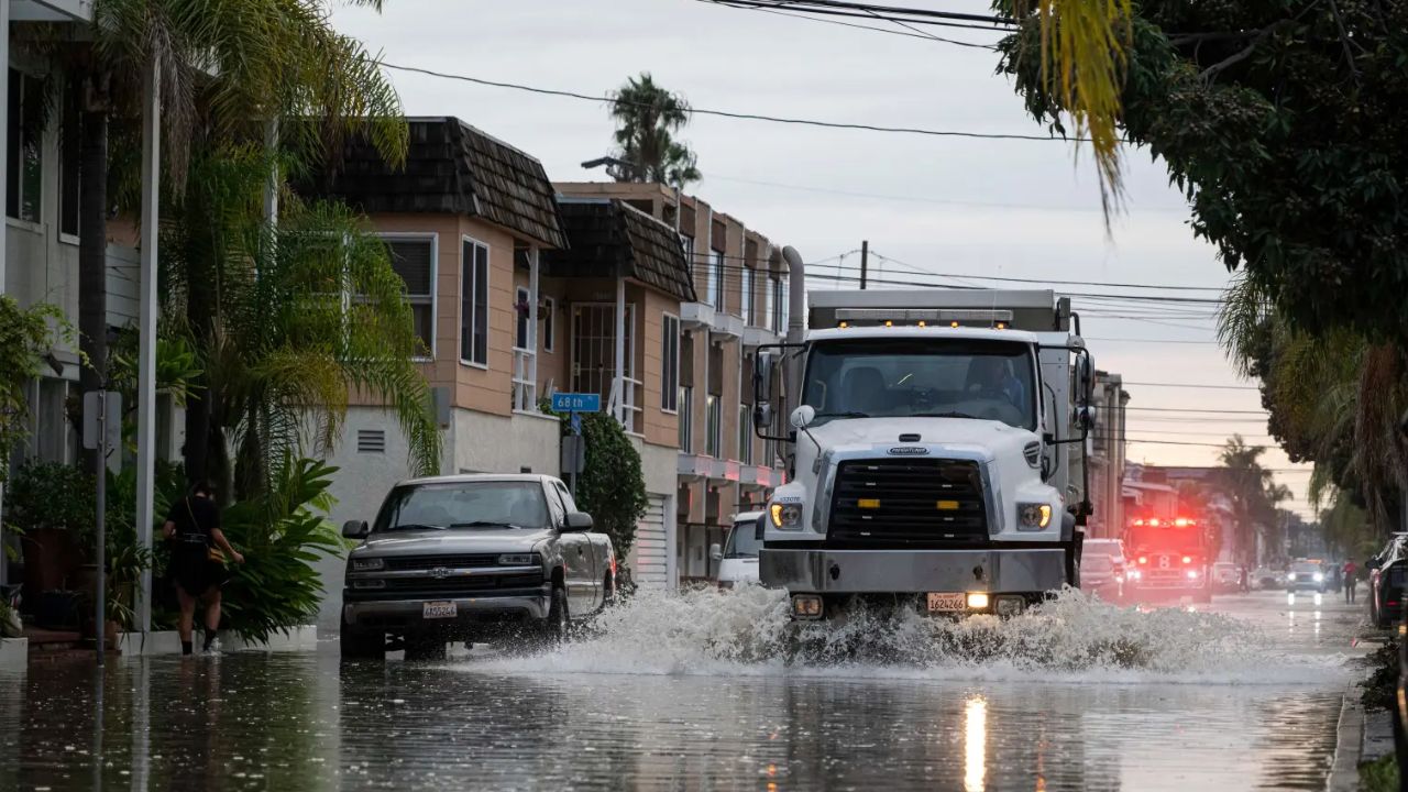
The heaviest rainfall is expected to develop south and east of Los Angeles, although much of Southern California could receive measurable rain.
Forecast rainfall totals could reach a quarter-inch to half an inch across much of the region, while lower coastal slopes and mountains could see as much as an inch.
Some weather models are showing a wider range, however, with projected totals varying from around one-tenth of an inch to as much as 2 inches in some locations.
The exact rainfall totals will depend on how Rachel’s remnants interact with the incoming low-pressure system.
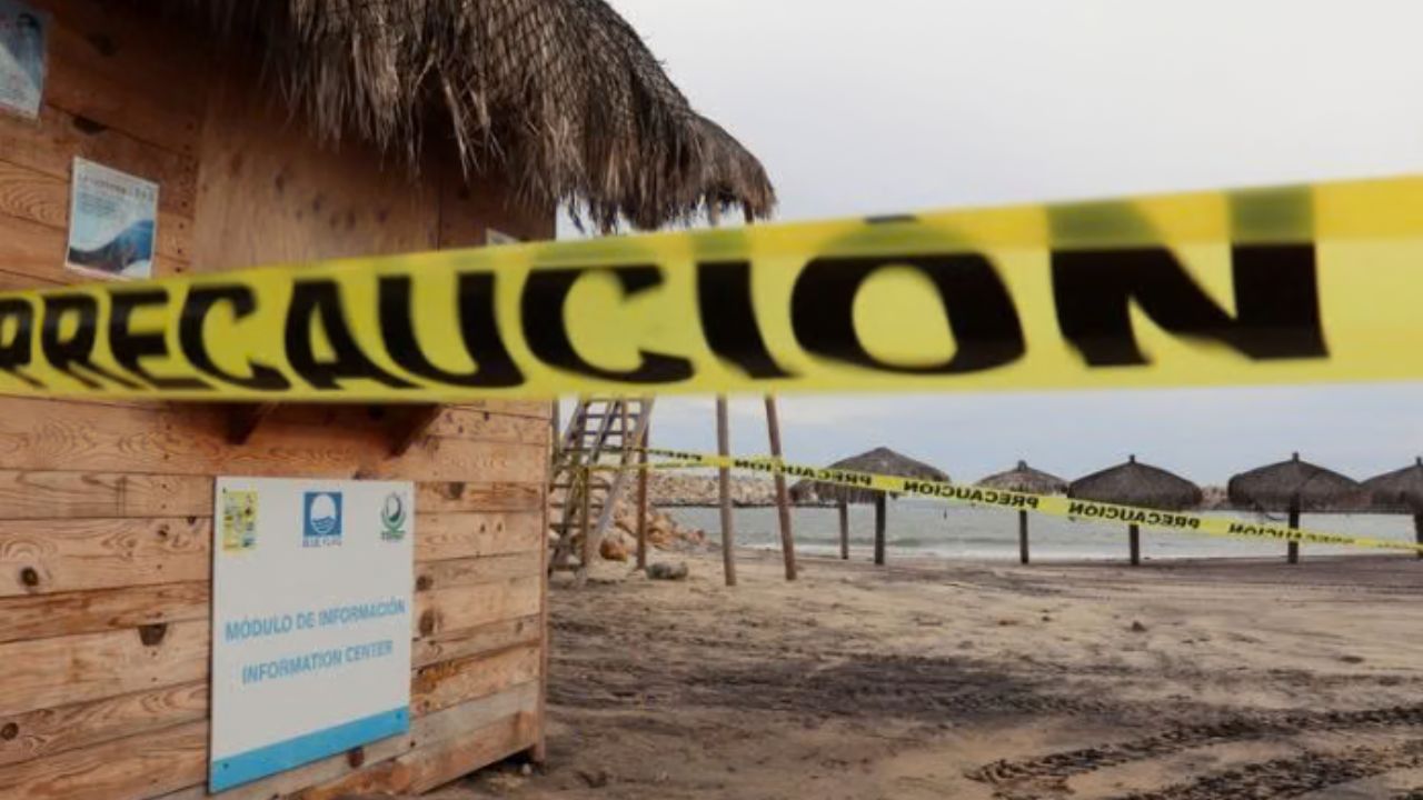
Coastal Areas Face Dangerous Waves and Flooding
The coast could experience some of the most hazardous conditions of the weekend.
Farhang warned that large waves could affect a long stretch of coastline from San Luis Obispo and Santa Barbara through Ventura, Los Angeles and Orange counties and south toward Ensenada, Mexico.
“Large waves are going to crash along the coastal zones with wave heights of 10 to 12 feet, maybe even a rogue wave up to 15 feet along San Luis Obispo, Santa Barbara, Ventura, Los Angeles and Orange counties all the way down to Ensenada, Mexico,”
He also warned that coastal flooding could become a significant concern.
“Coastal flooding is very likely starting from Sunday at 11 a.m. to Wednesday at 6 p.m.,”
That could create dangerous conditions for beachgoers, surfers, swimmers and people visiting coastal areas during the storm.
National Weather Service Warns Beachgoers
The National Weather Service is also urging people to take the coastal threat seriously, warning that moderate to significant beach erosion is likely.
“There is an increased risk of ocean drowning. Rip currents can pull swimmers and surfers out to sea. Waves can wash people off beaches and rocks, and capsize small boats nearshore,”
Those conditions could make even familiar beaches dangerous, particularly as large waves combine with stronger currents and rising water levels.
Rachel Adds to an Unusually Active Tropical Week
Meteorologists said Rachel’s remnants are increasingly likely to affect Southern California, potentially delivering a much-needed soaking after the region’s extreme heat.
Meteorologist further noted that Rachel is part of an unusually active period in the tropics, with the system expected to affect Southern California and Arizona as a post-tropical storm while other disturbances threaten parts of the Gulf Coast and Mexico.
Hurricane Isaias Is Coming—Here’s Which Weekend Festivals and Games Are Canceled or Still Happening
They said:
“Not very often you see several states in the Southwest US in a National Hurricane Center forecast cone,”
The unusual setup means residents across the Southwest will need to watch how Rachel’s remnants evolve as they move inland.
Record Heat Gives Way to a Sharp Temperature Drop
The incoming storm will also bring a striking change from the extreme heat Southern California experienced this week.
Downtown Los Angeles endured four consecutive days of triple-digit temperatures, marking the longest such streak ever recorded there.
Nine daily maximum-temperature records were also set across the region, including locations in Los Angeles, Oxnard, Long Beach and Santa Ana.
That heat is expected to fade quickly as the colder low-pressure system moves inland.
Temperatures could fall 5 to 10 degrees below normal Monday, creating a dramatic contrast with the oppressive conditions experienced just days earlier.
Rachel’s Remnants Will Move Into the Southwest
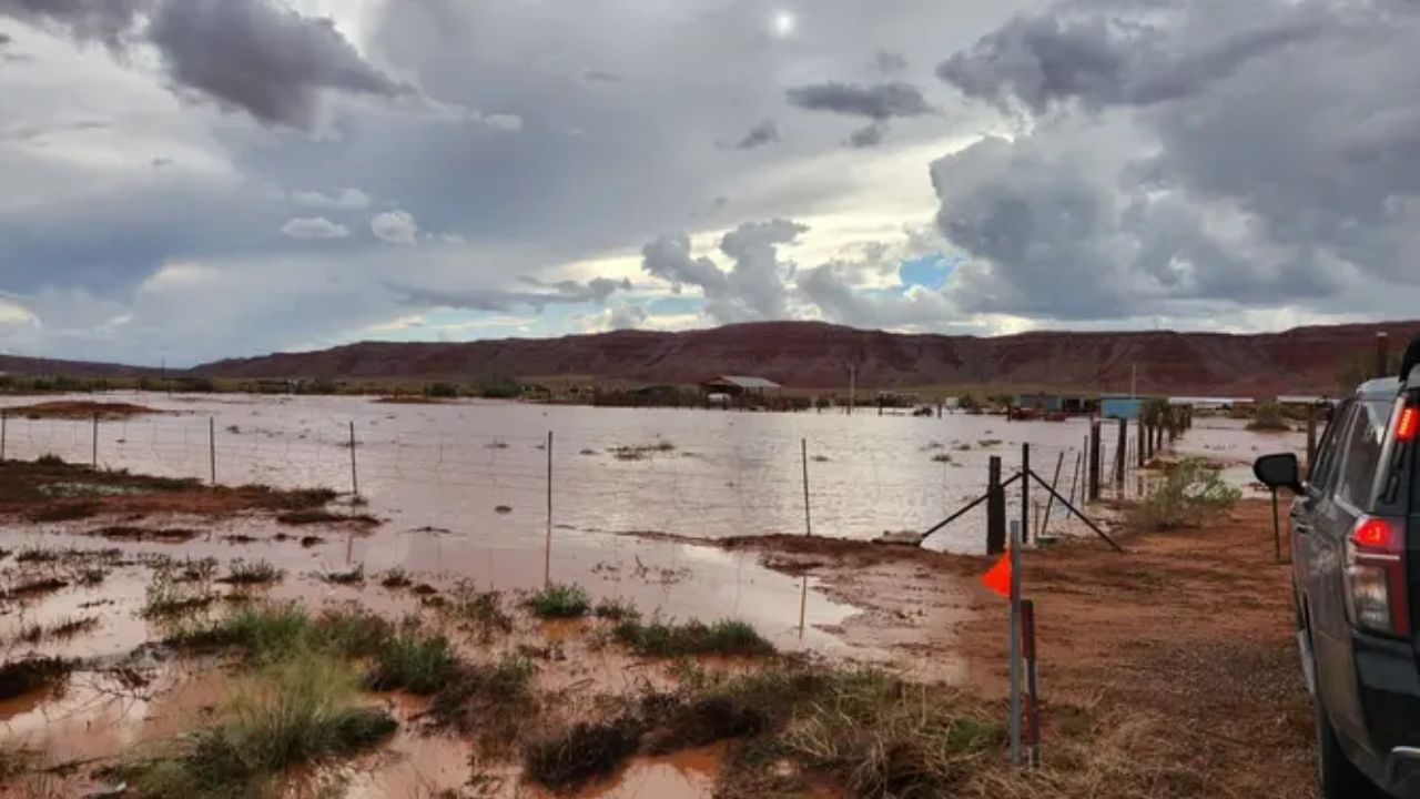
After moving across Southern California, Rachel’s remnants are expected to continue eastward into Arizona and Nevada before eventually reaching Utah.
Southern California should gradually return to fairer and warmer weather next week as the storm system moves away.
For now, however, residents should prepare for a very different weekend, with heavy rain, thunderstorms, dangerous surf and coastal flooding replacing the region’s record-breaking heat.
Are you ready for Southern California’s dramatic switch from extreme heat to tropical weather? Share your city and tell us whether you’re expecting rain, thunderstorms or dangerous coastal conditions this weekend.