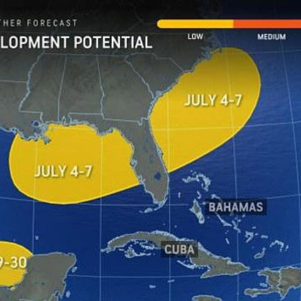
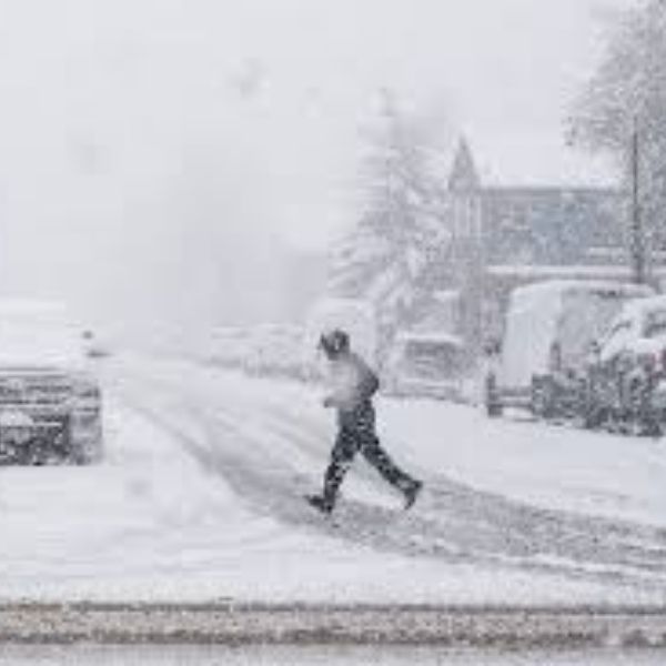
Weather forecasters are warning that a developing disturbance near Florida could bring heavy rain, gusty winds, and hazardous beach conditions just as millions of Americans hit the road for the Independence Day holiday.
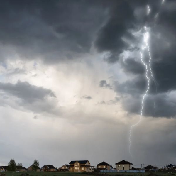
The National Hurricane Center (NHC) says the system has about a 20% chance of becoming a tropical or subtropical storm by the end of the week. Even if it doesn’t reach that status, the disturbance is still expected to impact parts of the Southeast and East Coast with dangerous surf, rip currents, and localized flooding.
Forecasters say Florida, Georgia, Alabama, Mississippi, and the Carolinas—home to more than 39 million people—are most at risk. Coastal areas like Apalachee Bay, the Big Bend region, and Tampa Bay are particularly vulnerable.
Meteorologist Zack Shields said, “More tropical trouble is possible in the Gulf this week,” although he added it’s not expected to affect Texas.
Warm ocean waters and low wind shear are creating favorable conditions for the system to strengthen. Meteorologist Chris Sowers warned that the region could see several inches of rain between Wednesday and Sunday, with the heaviest downpours expected on July 3.
The disturbance spans a wide area, from the northeastern Gulf of Mexico, across the Florida Peninsula, and into Atlantic waters off the Southeast coast. It is being classified as a tropical cyclone—a rotating system of clouds and thunderstorms that may develop into a tropical depression or storm. If it intensifies, it would be named Chantal, following Tropical Storm Barry.
So far, no tropical storm watches or warnings have been issued. But the NHC and emergency officials are urging residents and travelers to remain alert, especially as weather hazards could affect both Gulf and Atlantic coasts. The system is currently marked in the “yellow zone,” indicating a low risk of development, but that could change quickly.
Holiday travel is already expected to be at a record high, with AAA projecting 72.2 million Americans will travel at least 50 miles from home during the June 28 to July 6 holiday period. The peak in travel combined with potential severe weather could spell trouble.
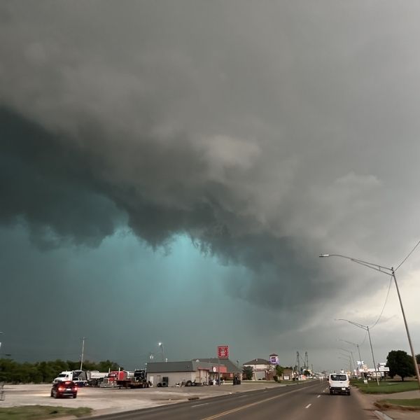
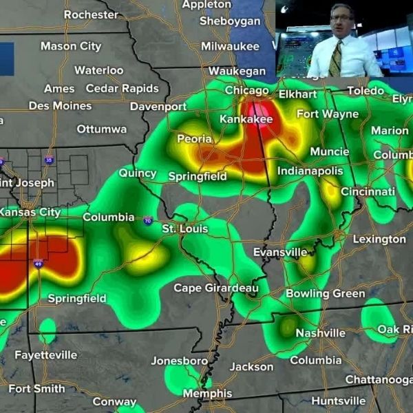
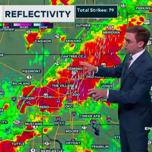
Thunderstorms are also expected to affect cities along the I-95 corridor, from Atlanta and Tallahassee to Washington, DC, Philadelphia, and New York. Flight delays and cancellations could spike midweek due to stormy skies.
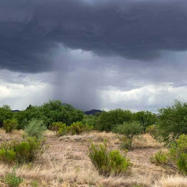
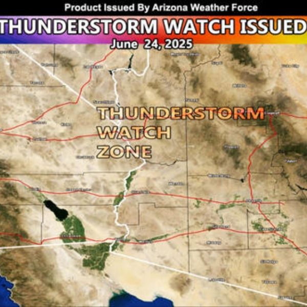
Meanwhile, areas in the mid-Atlantic and along the West Coast are forecasted to have better weather for July 4 festivities. But the Four Corners region—including parts of New Mexico, Colorado, Utah, and Arizona—could see scattered storms from monsoon and tropical moisture.
Meteorologist Jennifer Gray advised, “Many Fourth of July barbecues, beach trips, and outdoor activities in the region may need a plan B. Heavy rain looks likely as we head into the holiday weekend.”
Emergency officials and forecasters continue to monitor the disturbance closely. For now, they recommend staying updated with local alerts and advisories from the National Hurricane Center and National Weather Service.


Leave a Reply