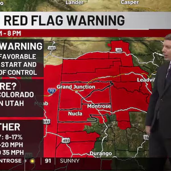
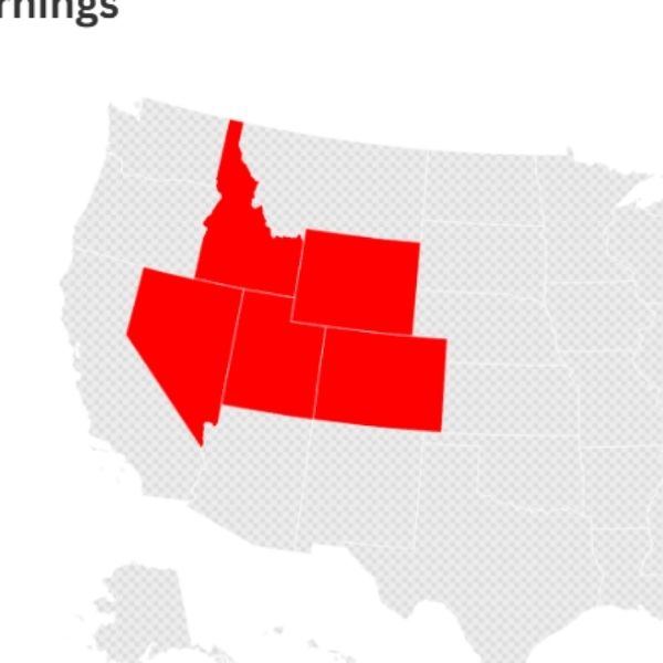
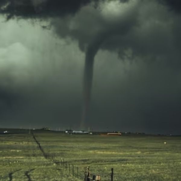
Red Flag Warnings
Red Flag Warnings remain in effect until 8 p.m. Friday for western Colorado and eastern Utah due to low humidity, dry vegetation, and wind gusts up to 35 mph. Winds will ease into the teens between 8–10 p.m., but warnings will return Saturday from 11 a.m. to 8 p.m.
Gusts will range from 20–30 mph, with some spots reaching 40 mph before calming after 8 p.m. Burning remains prohibited under Mesa County’s No Burn advisory.
Air Quality Advisories
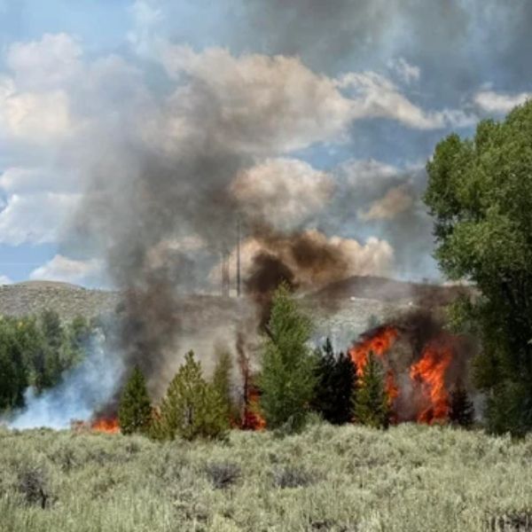
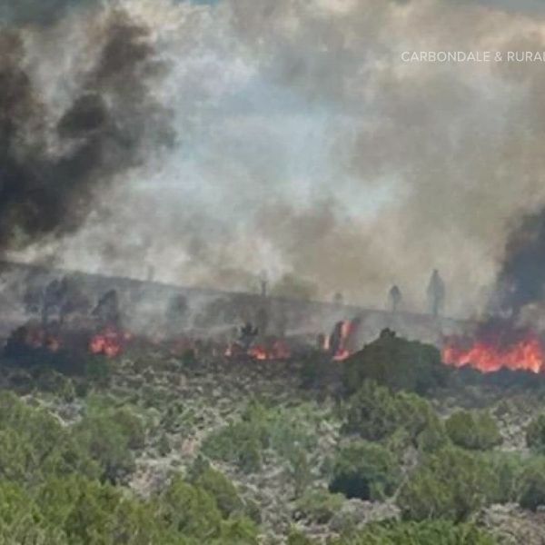
Heavy wildfire smoke has triggered an Air Quality Health Advisory for eastern Dolores County until 9 a.m. Saturday, and for Moffat, Rio Blanco, Routt, Grand, and Jackson counties due to nearby fires. Advisories may be extended through the weekend.
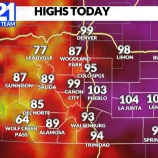
Weekend Forecast
-
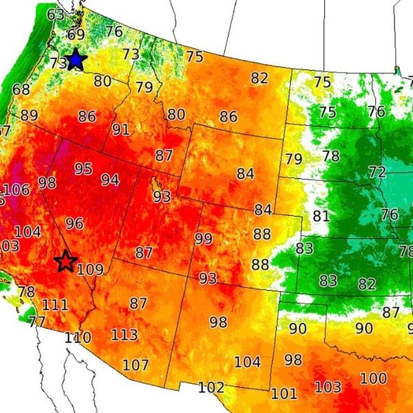
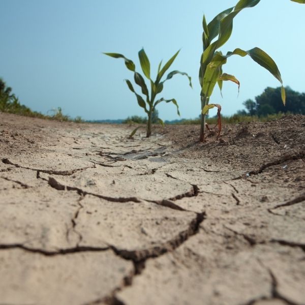
Saturday: Mostly sunny, highs in the low 90s–low 100s in western Colorado.
-
Sunday: Partly cloudy, highs in the upper 80s–mid 90s.
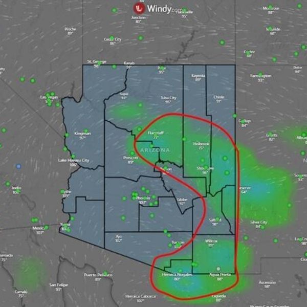
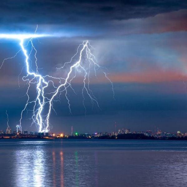
Morning lows will be in the 50s–60s. Eastern Colorado could see afternoon and evening thunderstorms both days, with some storms turning severe.
Next 24 Hours
Friday evening will be mostly clear, with temps dropping from the 80s–90s at 7 p.m. to the 70s–80s by 9 p.m. Saturday morning lows: Grand Junction 65°, Montrose 60°, Delta 60°, Cortez 54°, Moab 65°. Afternoon highs: Grand Junction 96°, Montrose 92°, Delta 99°, Cortez 94°, Moab 97°.
This article has been carefully fact-checked by our editorial team to ensure accuracy and eliminate any misleading information. We are committed to maintaining the highest standards of integrity in our content.

Katie is a senior who has been on staff for three years. Her favorite type of stories to write is reviews and features. Katie’s favorite ice cream flavor is strawberry.


Leave a Reply