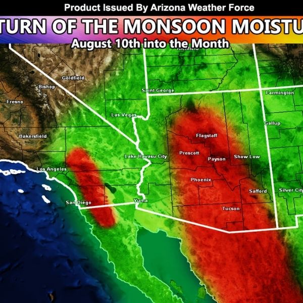
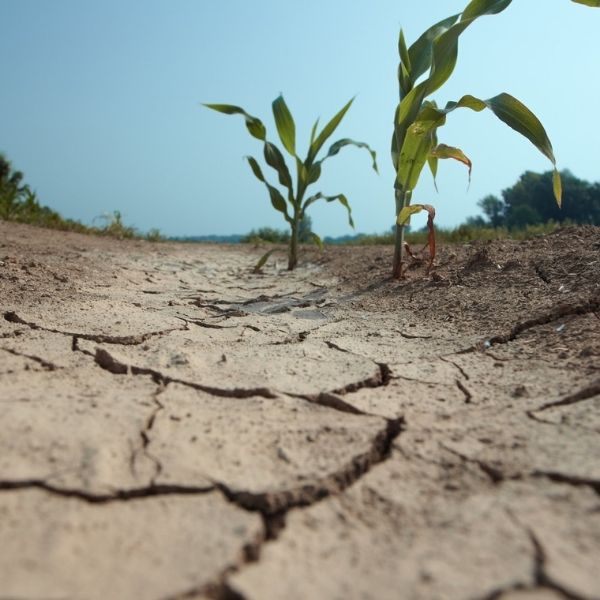
It’s going to be a hot start to August in Arizona, but that heat is actually a sign of a changing pattern. As a high-pressure ridge builds, it’s setting the stage for monsoon moisture to return—potentially turning mid-August into a true monsoon month.
While the early season has been quieter than usual, things are expected to shift after August 10. Instead of upper-level lows hanging off the California coast (which tend to suppress monsoon flow), the ridge forming over the region favors moisture surges and thunderstorm activity.
A few important signs are pointing toward a wetter pattern:
-
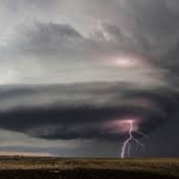
Tropical activity is increasing south of Arizona, adding moisture to the system.
-
The ridge is likely to pull that moisture northward, reviving monsoon conditions statewide.
Forecast outlook:
Expect above-average rainfall across Arizona through the middle and latter half of August 2025, especially in central and southern regions. So while the first week may feel dry and scorching, storm chances are likely to spike starting the second week, bringing much-needed rain and cooler evenings.
This article has been carefully fact-checked by our editorial team to ensure accuracy and eliminate any misleading information. We are committed to maintaining the highest standards of integrity in our content.

Katie is a senior who has been on staff for three years. Her favorite type of stories to write is reviews and features. Katie’s favorite ice cream flavor is strawberry.


Leave a Reply