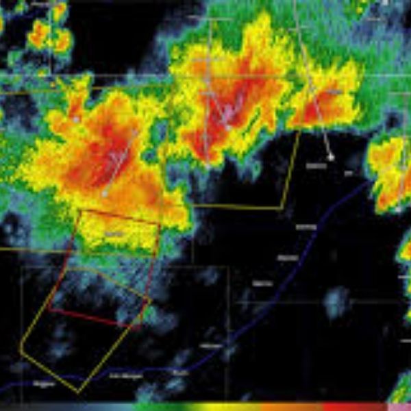
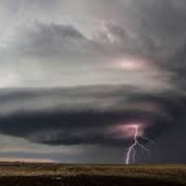
The National Weather Service has issued a Severe Thunderstorm Warning for southern Logan County and northeastern Washington County in northeastern Colorado, effective until 8:45 p.m. MDT Friday.
At 8:06 p.m., radar detected severe thunderstorms moving southeast at 35 mph, stretching from 6 miles south of Iliff to 4 miles northwest of Merino. The storms are capable of producing 70 mph wind gusts and small hail.
Impacted areas include:
Sterling, Merino, Atwood, Burdett, Prewitt Reservoir, Logan Corners, Padroni, North Sterling Reservoir, St. Petersburg, Lone Star, Willard, Pawnee Pass, and Reiradon Hill.
Potential Hazards:
-
Considerable tree damage
-
Potential damage to mobile homes, roofs, and outbuildings
-
Strong winds may arrive before rain or lightning
Safety Recommendations:
-
Move indoors to a sturdy building immediately
-
Stay away from windows
-
Do not wait for thunder; take shelter as soon as possible
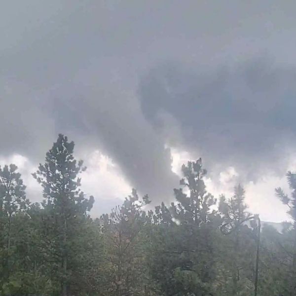
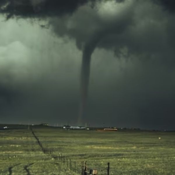
A Tornado Watch remains in effect until 10:00 p.m. MDT for parts of northeast Colorado. Stay weather-aware and monitor alerts for updates.

Katie is a senior who has been on staff for three years. Her favorite type of stories to write is reviews and features. Katie’s favorite ice cream flavor is strawberry.


Leave a Reply