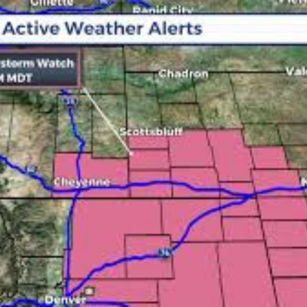
Cheyenne, WY – A Severe Thunderstorm Watch is in effect until 9 p.m. MDT today across southeastern Wyoming, northern Colorado, and western Nebraska, according to the National Weather Service.
Issued by the Storm Prediction Center in Norman, Oklahoma, Watch #563 was announced at 3 p.m. Thursday and covers the following counties:
-
Wyoming: Albany, Goshen, Laramie, Platte
-
Colorado: Larimer, Morgan, Weld
-
Nebraska: Banner, Kimball, Scotts Bluff
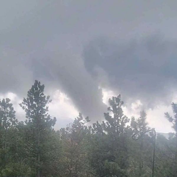
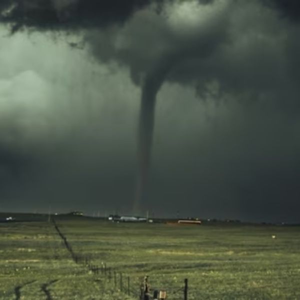
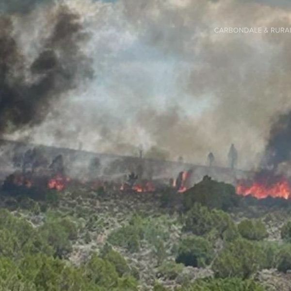
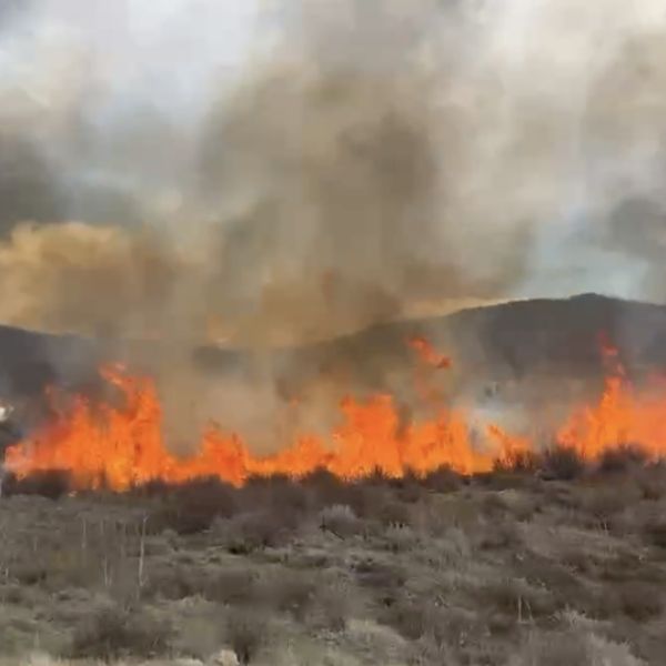
The alert means conditions are favorable for severe thunderstorms, including damaging winds, large hail, and frequent lightning. Residents are urged to stay weather-aware and prepare for rapidly changing conditions throughout the evening.
Meteorologists at the Cheyenne NWS office and other regional centers are actively tracking radar and atmospheric patterns, especially near the Front Range and High Plains, where storms may quickly intensify.
Safety Tips:
-
Seek shelter immediately if you hear thunder.
-
Avoid open fields and high ground, as lightning risk is elevated.
-
Stay tuned for possible updates or extensions if storms continue developing.
If you’re in the affected areas, monitor weather alerts and take necessary precautions to stay safe.

Katie is a senior who has been on staff for three years. Her favorite type of stories to write is reviews and features. Katie’s favorite ice cream flavor is strawberry.


Leave a Reply