
Millions across the Plains, Midwest, and Northeast will face severe thunderstorms and flash flooding through the weekend and into early next week, as rounds of powerful storms sweep across the region.
Stormy Pattern Fueled by Jet Stream and Heat Dome
The active jet stream, sitting along the northern edge of a sprawling heat dome, will help trigger these dangerous storms. According to AccuWeather meteorologists, the setup is primed for several days of turbulent weather.
Severe Weather to Close Out the Week
After a week already filled with hundreds of severe weather reports—from the Plains to the Atlantic coast—more storms are on the way. By Friday night, severe storms will stretch from eastern Pennsylvania to coastal New England, with the highest threat zone running from Harrisburg, PA, to Cape Cod, MA.
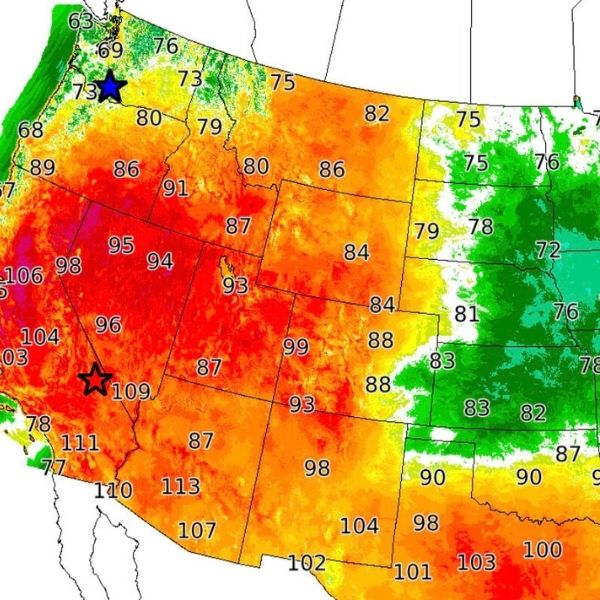
To the west, the atmosphere will reset over the Plains from northeastern Colorado and western Nebraska to southern Saskatchewan and Manitoba. Large hail, high winds, and flash flooding are possible with storms in this region.
A separate storm corridor, producing torrential downpours, will stretch from the Texas Panhandle to southern Michigan and northern Ohio. Flash flooding has already occurred in Amarillo, TX, and 2 to 4 inches of rain have soaked parts of this zone since midweek. More rain through Friday night will raise flooding concerns.
Saturday: More Severe Storms on the Way
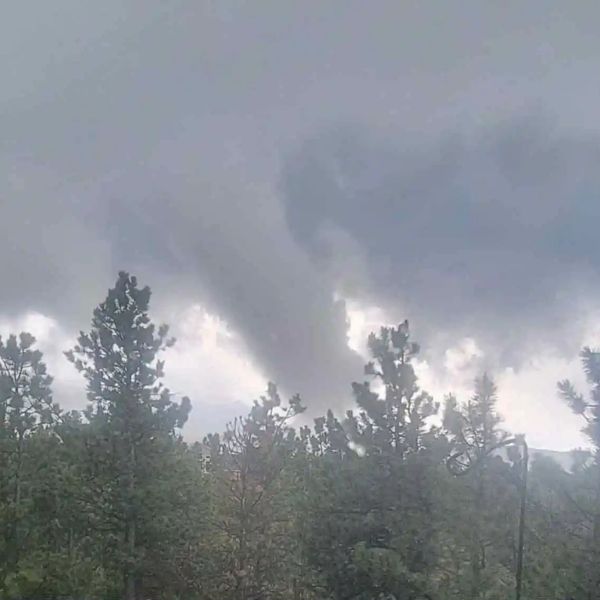
Saturday brings another round of storms across the Central and Eastern U.S. Strong to severe storms with damaging winds, large hail, and flash flooding are expected from northeastern Colorado through eastern Wyoming, central and northeastern Montana, southeastern Saskatchewan, the western Dakotas, and the Nebraska Panhandle.
Locally severe storms will also target northeastern Missouri, southern Iowa, southern Michigan, northern Ohio, and southwestern Ontario. In cities like Chicago and Detroit, downburst winds and flash flooding are the main threats.
Farther southeast, storms may produce less wind but still bring dangerous downpours and flash flooding across central and southern Ohio, West Virginia, Virginia, Maryland, central Pennsylvania, and northeastern Kentucky.
Sunday Storm Threat Targets Eastern States
Sunday’s severe weather will hit from southwestern New England to much of West Virginia. Flash flooding and downburst winds could disrupt travel on major highways and delay flights in cities like New York, Philadelphia, and Pittsburgh.
A growing threat exists for a large complex of severe storms to form over North Dakota and northwestern Minnesota Sunday night and track southeast toward the Great Lakes. These storms may unleash wind gusts up to 90 mph and damaging hail.
Storms Continue Into Early Next Week
Severe weather will likely persist into Monday and Tuesday, spreading across much of the same areas and reaching farther into the Northeast.
A push of cool air from central Canada midweek may help break the storm cycle in the Great Lakes and Northeast but could fuel new storms farther south across the Central and Eastern U.S.
This article has been carefully fact-checked by our editorial team to ensure accuracy and eliminate any misleading information. We are committed to maintaining the highest standards of integrity in our content.

Katie is a senior who has been on staff for three years. Her favorite type of stories to write is reviews and features. Katie’s favorite ice cream flavor is strawberry.


Leave a Reply