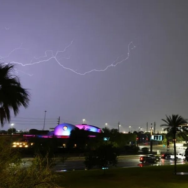
A rare and eerie-looking weather phenomenon appeared over Mid-Missouri on Thursday afternoon—but experts say there’s no cause for concern.
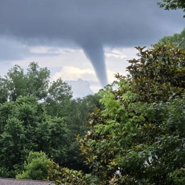
Around 5:20 p.m., Megan Johnson captured a photo of a thin funnel cloud near Hallsville. While it resembled a tornado, this was most likely a cold air funnel—a harmless weather event that forms when a pocket of cold air passes over warmer ground.
These funnels develop under low-pressure conditions that create weak atmospheric rotation. Unlike tornadoes, cold air funnels aren’t connected to a powerful mesocyclone and usually remain aloft, rarely touching the ground.
The National Weather Service typically does not issue warnings for cold air funnels unless they reach the surface. Even then, they’re unlikely to cause significant damage.
So although they might look intimidating, cold air funnels are generally not a safety risk. Still, if one does make contact with the ground, it’s best to take shelter immediately and report the sighting to local authorities or the National Weather Service.


Leave a Reply