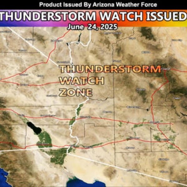
July 16, 2025 – Monsoon season in Arizona is reaching a peak today, with severe weather and flash flooding possible, especially across northern parts of the state. According to the Arizona Weatherman, today marks the height of this round’s moisture surge, though monsoon activity will begin to taper off between July 16–18.
Storms Slam Southern Arizona
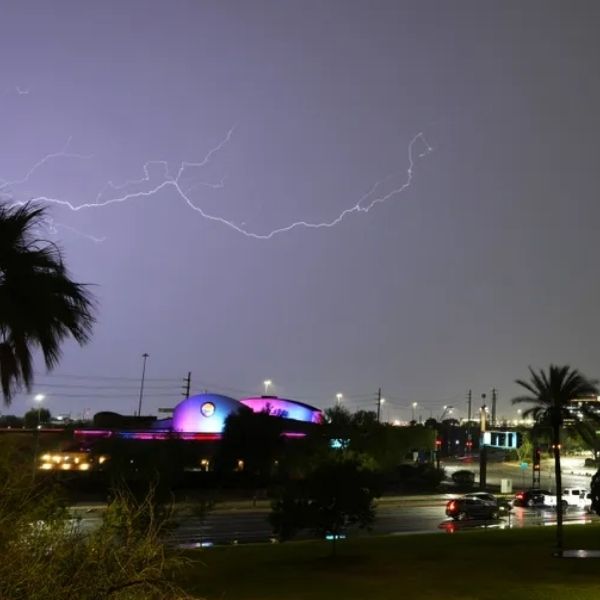
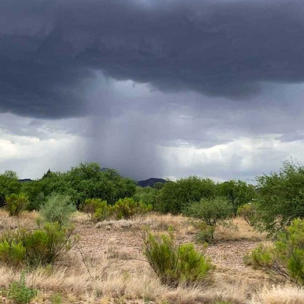
Yesterday’s strong monsoon surge dropped 1–2 inches of rain in parts of southern Arizona, with Tucson, Oro Valley, Tombstone, and Benson seeing heavy rainfall. Central Pima and southern Pinal Counties were also hit hard.
Wednesday’s Focus: Mogollon Rim and Northern Arizona
For today, July 16, the biggest monsoon impact shifts north:
-
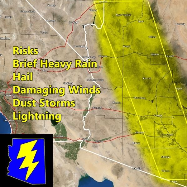
Where: Mogollon Rim, Northern Gila, Southern Coconino, Navajo, and Apache Counties
-
What to expect:
-
1–3 inches of rainfall
-
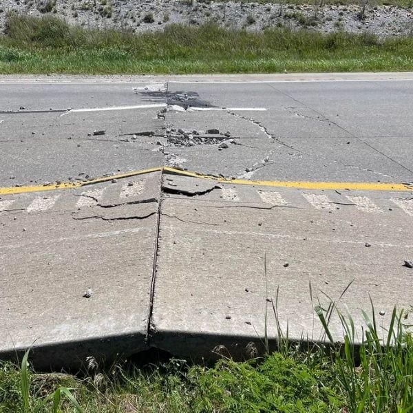
Flash flooding likely in low-lying and urban areas
-
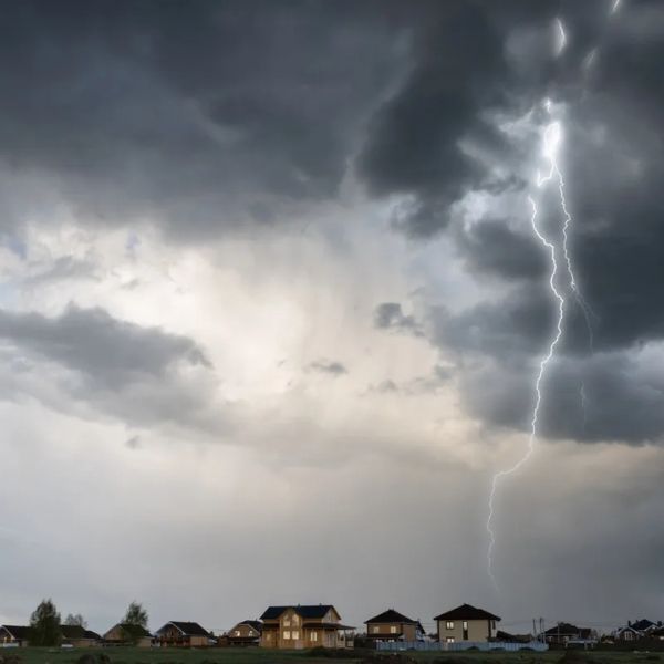
Hail up to 1 inch
-
Gusty winds up to 60 mph
-
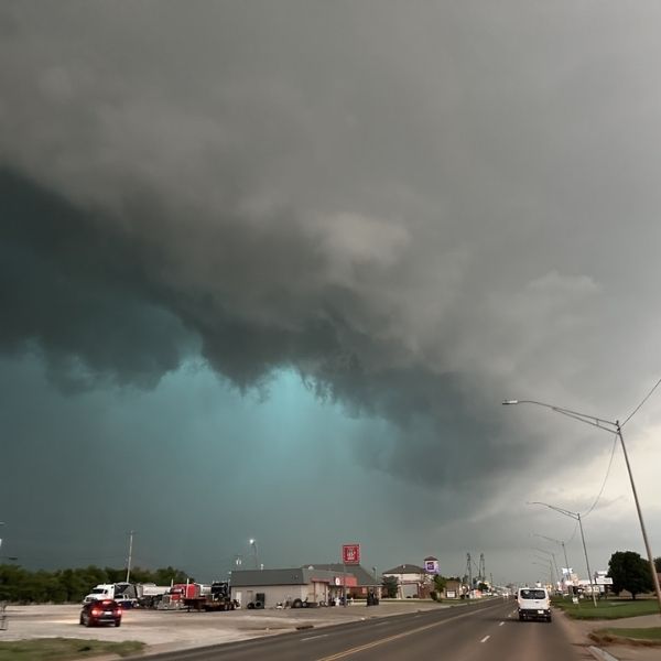
Storms are expected to spread to Flagstaff and even into Grand Canyon National Park, with broader northern Arizona also seeing convective thunderstorm activity.
Southern Arizona Outlook
Today, southern Arizona—including Pima County—will see fewer storms due to lingering rain and cloud cover that will limit surface heating. However, areas like Cochise, Graham, and Pinal Counties may still experience strong afternoon storms.
Watch for late-night thunderstorms potentially reaching Phoenix and La Paz County overnight into Thursday morning.
Looking Ahead: July 17–18
-
Thunderstorm activity will gradually decrease
-
An upper-level low currently over Arizona will exit the region, reducing storm chances
-
Expect isolated storms in northern Arizona, with lower intensity than earlier in the week
-
Afternoon storms remain possible but are expected to weaken over time
No Tropical Trouble — For Now
The East Pacific Basin is also resetting, and no tropical storms are expected over the next week. However, the Arizona Weatherman will continue monitoring for any significant developments.
Bottom Line:
Today is the most active day of the monsoon round. If you’re in northern or eastern Arizona, prepare for heavy rain, hail, and possible flash flooding. Stay weather aware, especially if traveling near washes or storm-prone areas.


Leave a Reply