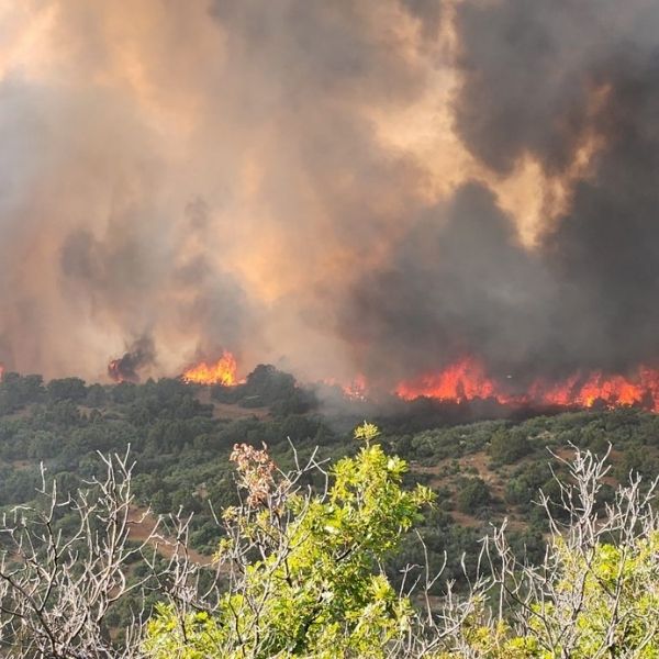
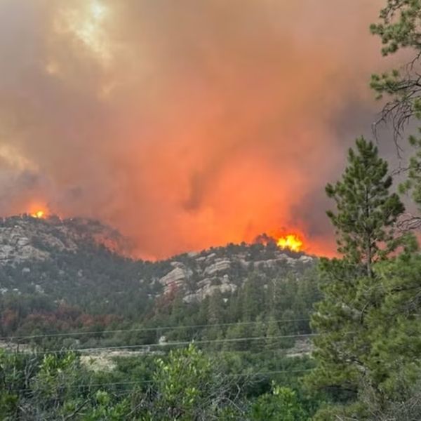
As wildfires rage across the western U.S., Colorado is now battling six major wildfires, with the Deer Creek Fire crossing over from Utah on July 14 and triggering part of the state’s official disaster declaration. In total, these fires have scorched nearly 15,000 acres across Colorado’s western slope.
Wildfire Conditions & Forecast
Conditions remain hot and dry, with lightning and thunderstorms expected later this week — a mix that could worsen fire behavior. Here’s where each fire stands as of July 15:
South Rim Fire (Black Canyon of the Gunnison)
-
Size: 3,988 acres
-
Containment: 0%
-
Location: Near Montrose
-
Status: Crews are working to build direct firelines and set up sprinklers around key structures, especially on the western and southern edges.
-
🗓️ Community meeting scheduled for 6 p.m. July 15 at Grace Community Church in Montrose.
Deer Creek Fire
-
Size: 12,906 acres
-
Containment: 7%
-
Location: Near Paradox, came from Utah
-
Update: Fire grew by 3,000 acres in one day; included in the July 13 disaster declaration by Gov. Jared Polis.
Sowbelly Fire
-
Size: 2,274 acres
-
Containment: 0%
-
Location: Dominguez Canyon Wilderness Area (Mesa, Montrose & Delta counties)
-
Status: Held steady overnight with 70+ personnel on the scene. Activity focused in the northeast.
Turner Gulch Fire
-
Size: 8,140 acres
-
Containment: Not yet released
-
Update: Grew from 1,500 to 8,140 acres in a single night.
-
🔄 Now under command of the Rocky Mountain Complex Incident Management Team.
Wright Draw Fire
-
Size: Part of 8,300+ acres combined with Turner Gulch
-
Status: Limited individual updates; grouped with Turner Gulch due to close proximity and overlapping response teams.
Airport Fire (Douglas County)
-
Size: 130 acres
-
Containment: 90%
-
Status: Holding steady; cause still under investigation. No major flare-ups expected.
Stay Updated
Track these fires with the Coloradoan’s real-time wildfire map [link not provided here] to monitor updates, containment efforts, and evacuation alerts.
🔔 Reminder: Stay informed through your local emergency management services, especially if you’re near affected areas.
This article has been carefully fact-checked by our editorial team to ensure accuracy and eliminate any misleading information. We are committed to maintaining the highest standards of integrity in our content.


Leave a Reply