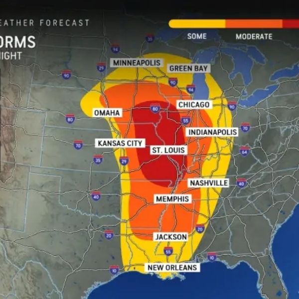
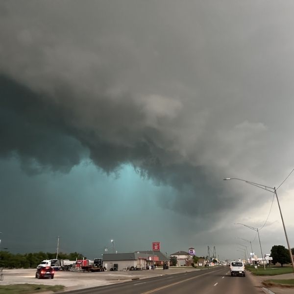
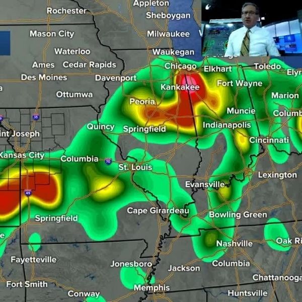
Forecasters are warning of a rising risk for severe thunderstorms across Northern Illinois, Northern Missouri, and Northern Indiana on Friday. The Storm Prediction Center has placed these areas under a “slight risk”, meaning there’s a 15% chance of severe weather.
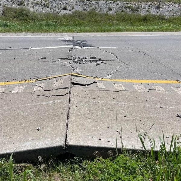
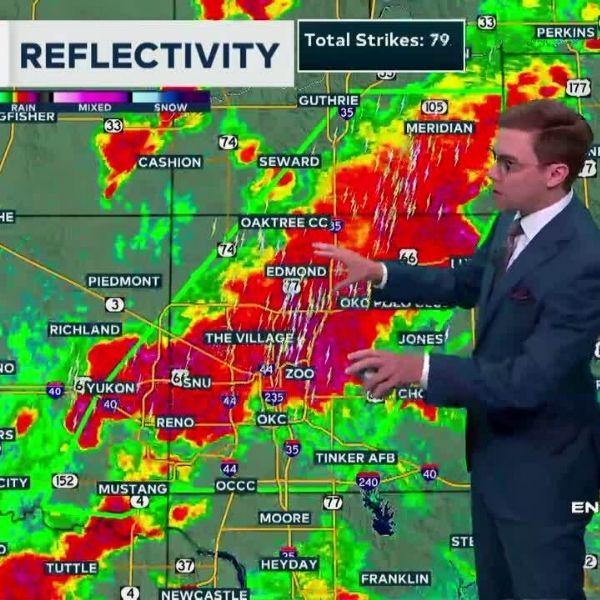
Potential hazards include:
-
Damaging winds over 55 mph
-
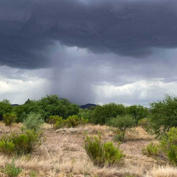
Heavy rainfall with the threat of localized flash flooding
-
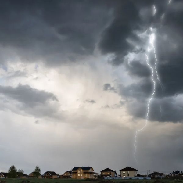
A chance of isolated tornadoes
In Northern Illinois, the threat zone includes major cities like Chicago and Aurora. The severe weather risk drops as you move south, with the southern third of Illinois only expected to experience general thunderstorms.
The timing for the storms begins after 6 p.m. Friday and is expected to taper off by 6 a.m. Saturday.
Northwestern Illinois is facing a heightened flash flood risk. The Weather Prediction Center notes that while the rain will be beneficial overall, the “Slight Risk” area has been significantly expanded, with the potential for 3 to 5 inches of localized rainfall. There’s also a possibility of the area being upgraded to a Moderate Risk depending on future developments.
Stay updated with alerts and statements from the Storm Prediction Center and your local National Weather Service offices for the latest on this evolving situation.
This article has been carefully fact-checked by our editorial team to ensure accuracy and eliminate any misleading information. We are committed to maintaining the highest standards of integrity in our content.


Leave a Reply