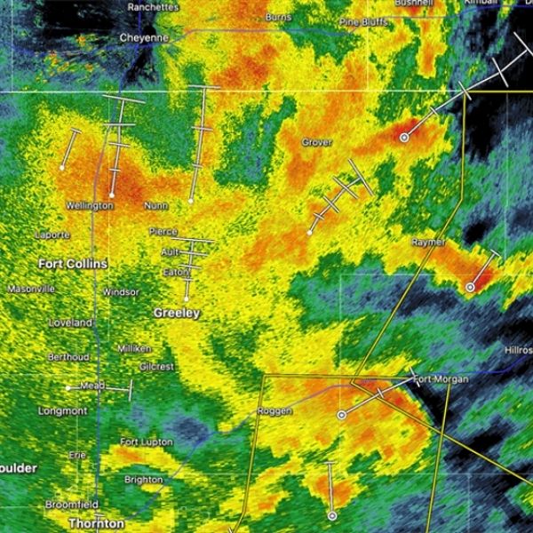
A Severe Thunderstorm Warning is in effect for Logan, Phillips, and southwestern Sedgwick counties in northeastern Colorado.
The warning remains active until 4:15 PM MDT.
As of 3:31 PM MDT, a severe thunderstorm was spotted about 9 miles north of Haxtun, or roughly 23 miles northwest of Holyoke, and was moving northeast at 10 mph.
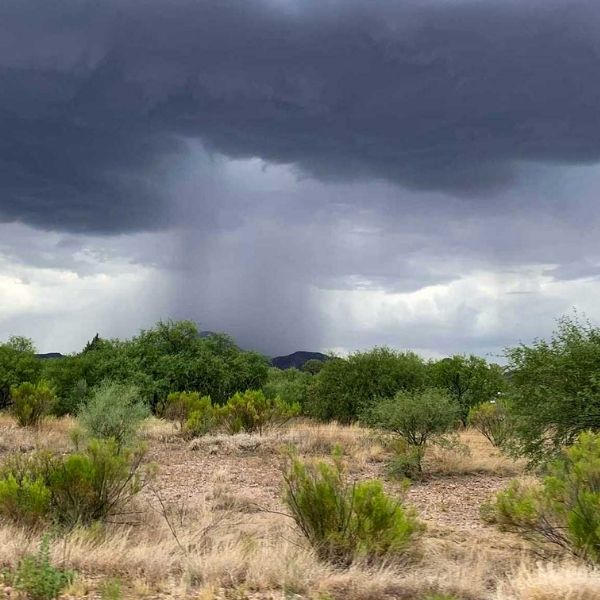
Threats from the storm include:
-
Wind gusts up to 60 mph
-
Half-dollar size hail
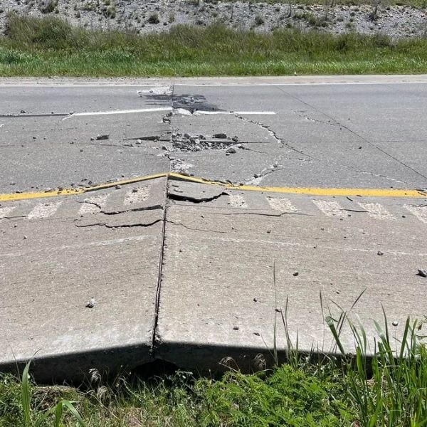
Possible impacts:
-
Hail damage to vehicles
-
Wind damage to roofs, siding, and trees
-
Hazardous road conditions from hail accumulation
-
Torrential rainfall leading to flash flooding
Areas at risk include:
-
Crook
-
Marks Butte
-
Fairfield
-
Dailey
What to do:
Take shelter immediately in a sturdy building and stay away from windows. Avoid driving through flooded roads, and remain alert for rapidly changing weather conditions.
This article has been carefully fact-checked by our editorial team to ensure accuracy and eliminate any misleading information. We are committed to maintaining the highest standards of integrity in our content.


Leave a Reply