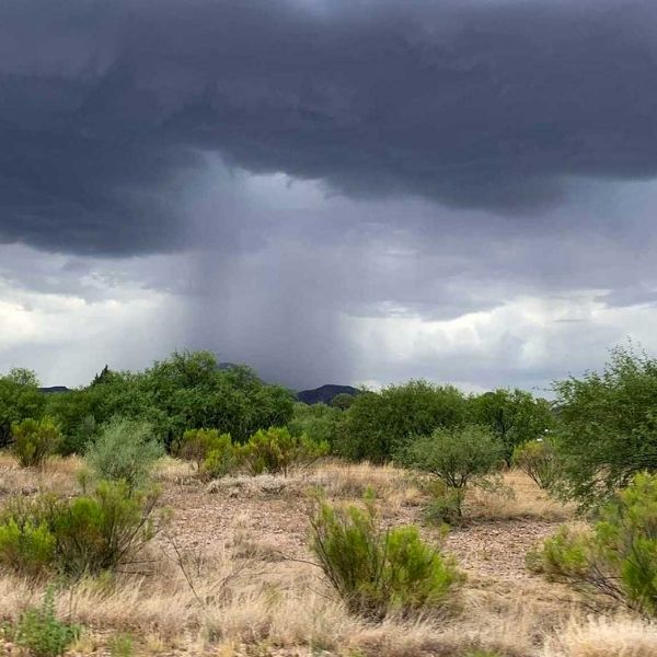
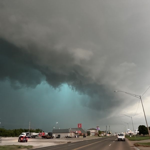
On Sunday, powerful storms rolled through eastern Colorado and the southern Nebraska Panhandle, delivering landspout tornadoes, wind gusts up to 70 mph, and hail as large as golf balls.
Multiple Severe Weather Alerts Issued
The National Weather Service issued several severe thunderstorm warnings throughout the afternoon and evening. Affected counties included:
-
Nebraska: Cheyenne, Kimball, Morrill, Banner, and Box Butte
-
Colorado: Logan and Morgan
-
Wyoming: Laramie
Confirmed Tornadoes and Landspouts
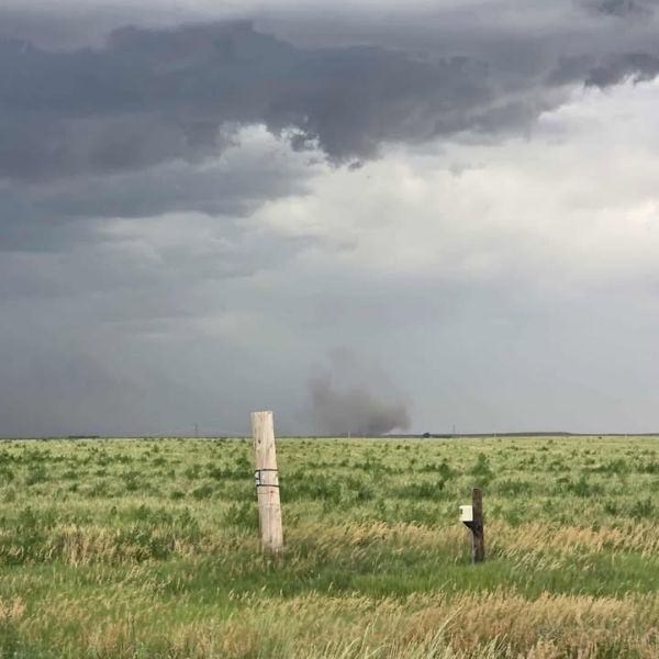
In Morgan County, Colorado, a trained spotter confirmed a landspout tornado four miles west of Midway at 3:48 p.m. The twister lasted about five minutes and was captured on video by storm chasers. Just minutes earlier, quarter-sized hail was reported five miles north of Dailey in Logan County.
Later in the day, another landspout was confirmed in the Nebraska Panhandle, 11 miles north-northeast of Potter, near the Cheyenne-Morrill County line. This rotating funnel cloud was also verified through video shared on social media.
Strong Winds and Blowing Dust
In Laramie County, Wyoming, winds were intense. A mesonet station near Burns clocked a 58 mph gust at 3:58 p.m., and another location nearby reported estimated 70 mph winds, with video showing thick blowing dust and reduced visibility.
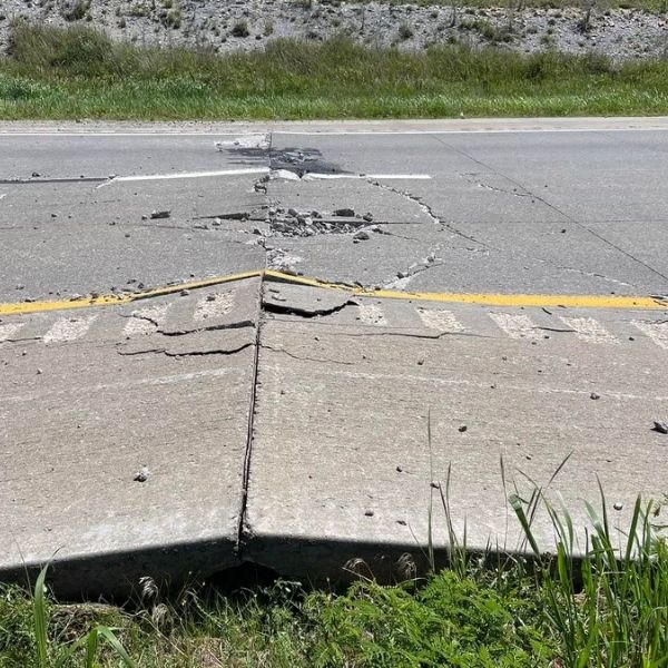
Hail Damage Reported Across Morrill County
Morrill County experienced some of the most severe hail:
-
Golf ball-size hail near Broadwater (around 6:30 p.m.)
-
Quarter-size hail and tree damage southeast of Broadwater (a 6-inch diameter tree was knocked down)
-
Half dollar-size hail north of Bayard
-
Additional hail reports near Lisco and southwest of Alliance
Severe Thunderstorm Watches and No Reported Injuries
Severe thunderstorm watches remained in effect through 8 p.m. as the storms pushed eastward. Fortunately, no injuries were reported as of Sunday night.
Residents across the tri-state region are reminded to stay weather-aware as summer storms continue to bring fast-changing and dangerous conditions.


Leave a Reply