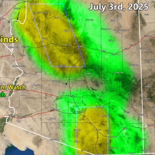
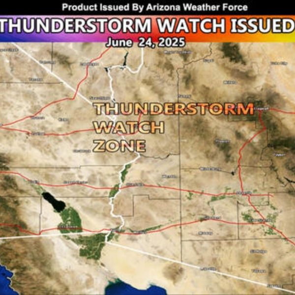
Arizona Weather Force has issued a Severe Thunderstorm Watch and Thunderstorm Watch for multiple regions in the state, effective Thursday, July 3, 2025.
⚠️ Affected Counties & Areas
-
Pima
-
Pinal
-
Maricopa
-
Yavapai
-
Santa Cruz
-
Cochise
-
Gila
-
Mogollon Rim
-
Flagstaff to Grand Canyon
-
Western Graham County
-
Winslow, Snowflake, Holbrook
🕘 Issued: July 3, 2025, at 9:15 a.m. PDT
🌩️ Forecast Overview
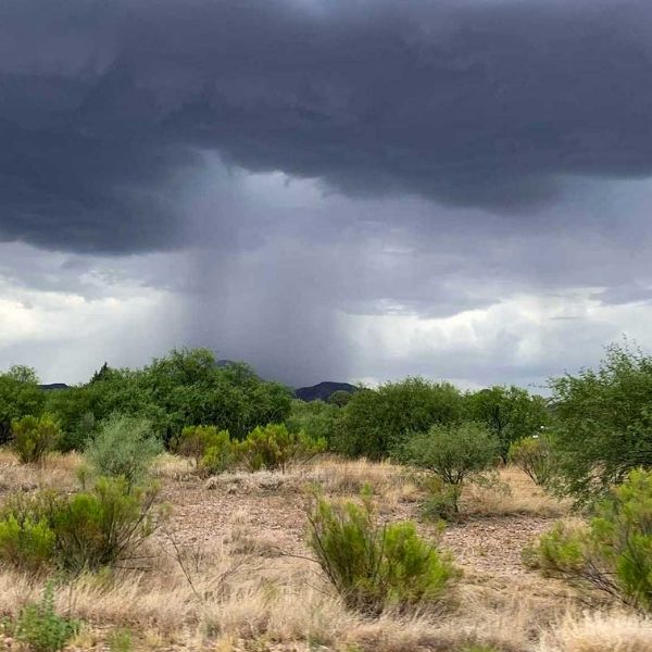
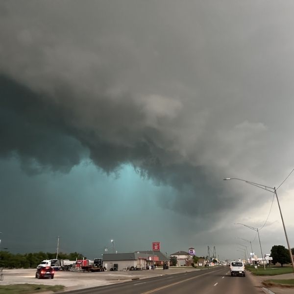
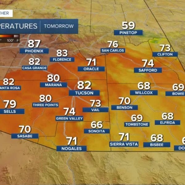
Instability is once again building across Arizona, bringing a strong chance of severe weather before a break in monsoon activity begins. As temperatures remain above normal, the atmospheric setup is ripe for widespread thunderstorm activity.
🔶 Northern Arizona (Yavapai, Flagstaff, Grand Canyon)
-
Severe Thunderstorm Watch issued
-
Risks: Damaging winds, large hail, and isolated tornadoes possible
-
Triggered by the passage of an upper-level trough axis
🔶 Southern Arizona (Tucson Metro Area)
-
Severe Thunderstorm Watch issued
-
Thunderstorms expected to rapidly develop, bringing damaging wind and hail
-
Outflow winds could push storms into Pinal County
🔍 Watch for Pop-Up Storms Near Phoenix
-
Uncertainty remains about storm development southwest of Phoenix
-
Upper-level divergence (lift) is building over the mountains near Maricopa
-
If storms form, they could track from Maricopa to Phoenix, including San Tan and Mesa
⛰️ Other Areas
-
White Mountains to Winslow and Snowflake: Thunderstorms expected
-
Navajo and Apache Counties: Disorganized pop-up storms possible
-
Green-shaded zones on the AZWF forecast map highlight areas with the highest potential for organized storms
⚡ What the Watches Mean
-
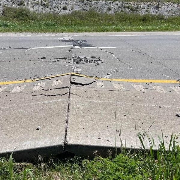
Severe Thunderstorm Watch: Conditions are favorable for severe storms affecting more than 50% of the zone, with winds over 50 mph and large hail
-
Thunderstorm Watch: Conditions support general thunderstorm activity in over 50% of the watch zone
Both watches are privately issued by Arizona Weather Force, providing advanced lead-time for the public to prepare.
🛑 Stay Alert
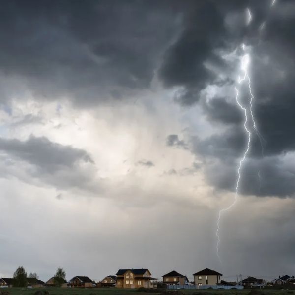
Strong storms could develop rapidly with very little warning, bringing dangerous wind, hail, and localized flooding. Residents in the affected zones should monitor weather alerts closely and prepare for sudden changes in weather throughout the day and evening.


Leave a Reply