
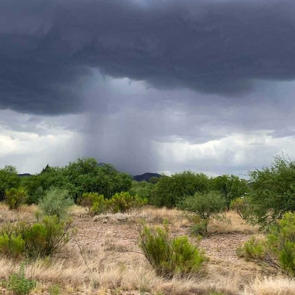
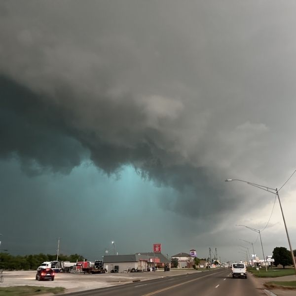
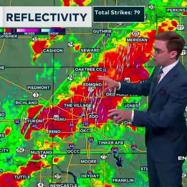
Thursday: Flash Flooding and Storms Possible
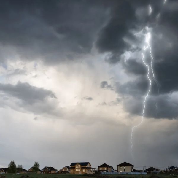
Parts of northwest and central Colorado could get hit with heavy rain, thunderstorms, and possible flash flooding on Thursday. Some high-elevation towns may see leftover showers Friday morning, but things should dry out by evening.
Friday and Saturday: Wind Picks Up, Fire Risk Rises
While Friday brings drier skies, it also looks like the windiest day of the weekend. According to NWS forecaster Braeden Winters, expect consistent winds of 20–25 mph at higher elevations through Saturday. That breeze, combined with warm and dry weather, will kick up dust and wildfire risk across the region.
These conditions have already triggered Stage 1 fire restrictions in several Western Slope counties: Summit, Eagle, Garfield, Pitkin, Moffat, Gunnison, Teller, Delta, Ouray, Montezuma, and Mesa.
White River National Forest and other public lands are also under restrictions. Under Stage 1 rules, all recreational fireworks are banned, and no fireworks are allowed on national forest land. Be sure to check local fire bans before lighting anything.
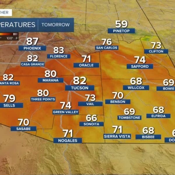
Holiday Weekend Temps
Glenwood Springs and Steamboat Springs will see temperatures in the mid-to-high 80s. Higher-elevation towns like Vail, Aspen, and Breckenridge are expected to stay in the 70s. “It’s a little warmer than normal,” Winters noted, adding that valley temps may rise slightly above average by Sunday.
Stay Safe and Weather-Aware
Even with some scattered storms, the ground remains dry enough for fires to spread fast. With fireworks, breezy afternoons, and rising heat, officials are urging everyone to stay alert.
“With how dry things have been, it’s as important as ever to stay aware of your surroundings,” Winters said.


Leave a Reply