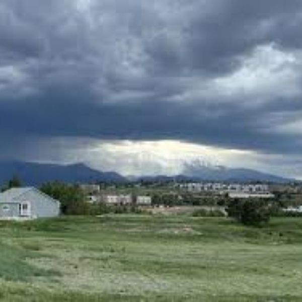
The National Weather Service in Pueblo has issued a severe thunderstorm warning with “high” certainty for most of the Pikes Peak region on Sunday.
Hail up to 1.5 inches in diameter and winds reaching 60 mph are expected in El Paso County between 2 p.m. and 8 p.m. Forecasters also warned of localized flash flooding in areas with heavy rainfall.
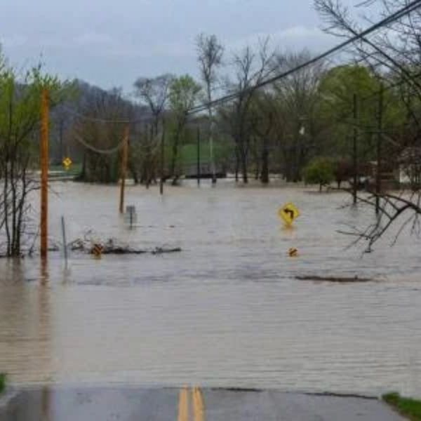
With each storm, the risk of flash flooding increases. Officials urge residents in flood-prone areas to stay off roadways, warning that just 12 inches of water can sweep a car away. The weather service reminded drivers: “Turn around, don’t drown.”
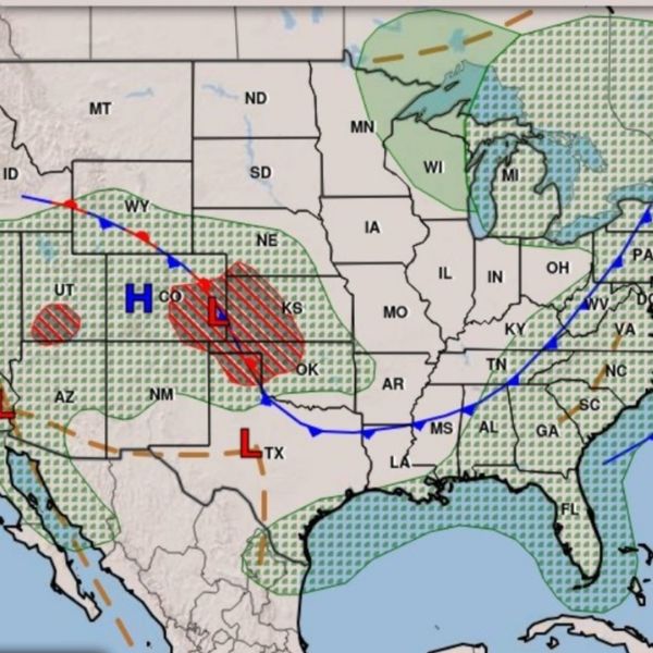
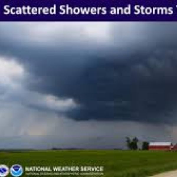
Rain and thunderstorms are expected to continue throughout the week.
Monday’s Forecast
-
90% chance of all-day thunderstorms and rain
-
High near 69°F
-
Up to ½ inch of rain expected
Tuesday’s Forecast
-
70% chance of all-day thunderstorms
-
High around 72°F
-
About ¼ inch of rain, with higher amounts possible in heavy rainfall areas
Wednesday’s Forecast
-
High near 80°F
-
80% chance of afternoon and evening thunderstorms
Thursday’s Forecast
-
70% chance of all-day rain
-
High around 76°F
Friday’s Forecast
-
60% chance of thunderstorms and rain
-
High near 77°F
Residents are advised to stay weather-aware and prepare for potential severe conditions throughout the week.
This article has been carefully fact-checked by our editorial team to ensure accuracy and eliminate any misleading information. We are committed to maintaining the highest standards of integrity in our content.

Katie is a senior who has been on staff for three years. Her favorite type of stories to write is reviews and features. Katie’s favorite ice cream flavor is strawberry.


Leave a Reply