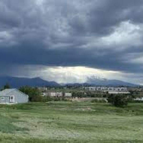
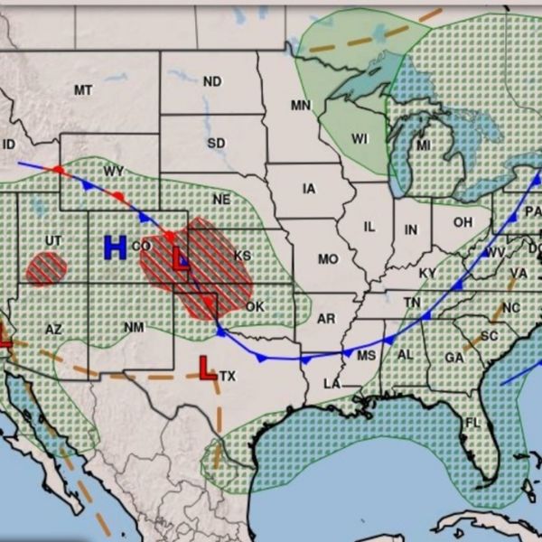
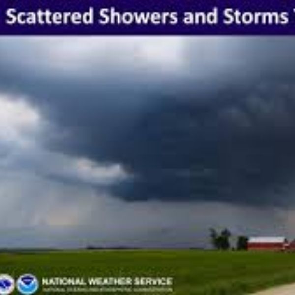
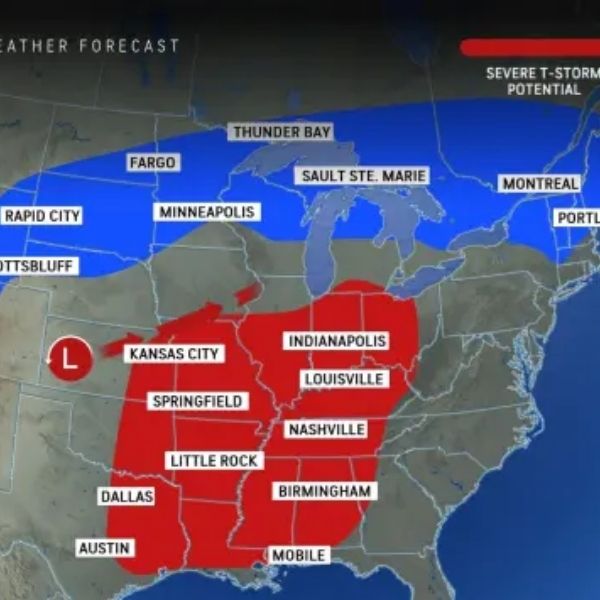
KANSAS CITY, Mo. (KCTV) — A First Warn is in effect for Saturday morning as an autumn cold front sweeps through the area, bringing scattered light showers and a noticeable drop in temperatures heading into next week.
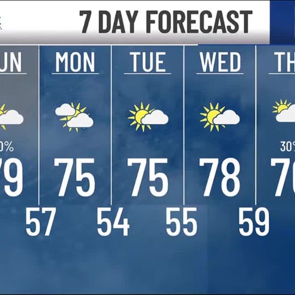
Saturday: Morning Showers and Cooling Temps
-
Rain Chances: 40% southwest → 20% northeast
-
Timing: 5 a.m. to 11 a.m.
-
Rainfall Amounts: Most areas below 0.10”, with up to 0.25” possible in southwest zones
-
Afternoon Conditions: Clouds gradually clear north to south
-
Highs: Upper 70s to low 80s
Sunday: Spotty Showers, Comfortable Conditions
-
Rain Chances: 20% in the morning
-
Sky Conditions: Mix of sun and clouds
-
Highs: Upper 70s
Monday: Dry and Pleasant
-
Morning Lows: Mid to upper 50s — a cool start for kids heading to school
-
Afternoon Highs: Middle 70s under partly sunny skies
Tuesday & Wednesday: Near Record Low Mornings
-
Morning Lows: Mid 50s — flirting with the current record of 53°
-
Daytime Highs: 75° to 78°
-
Conditions: Partly cloudy, shaping up to be the nicest days of the week
Thursday & Friday: More Clouds, Chance of Showers
-
Rain Chances: 30% Thursday, 20% Friday
-
Conditions: Increasing cloud cover
-
Highs: Mid to upper 70s
Key Takeaways
-
First Warn in effect Saturday morning for scattered showers
-
Comfortable highs in the 70s through next week
-
Potential record low temperatures Tuesday and Wednesday mornings
-
Spotty rain chances return late next week
This article has been carefully fact-checked by our editorial team to ensure accuracy and eliminate any misleading information. We are committed to maintaining the highest standards of integrity in our content.

Katie is a senior who has been on staff for three years. Her favorite type of stories to write is reviews and features. Katie’s favorite ice cream flavor is strawberry.


Leave a Reply