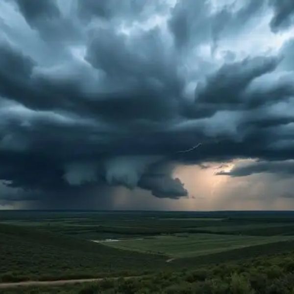
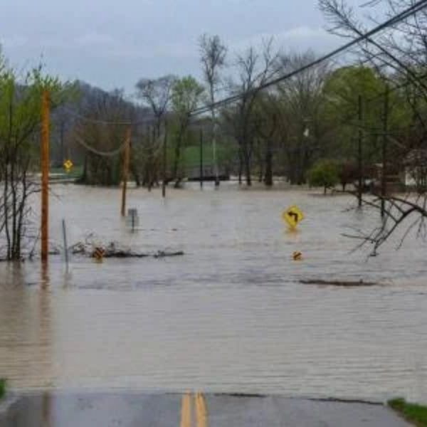
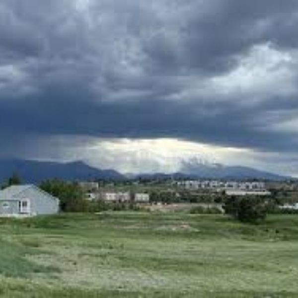
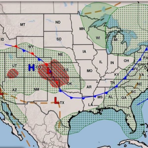
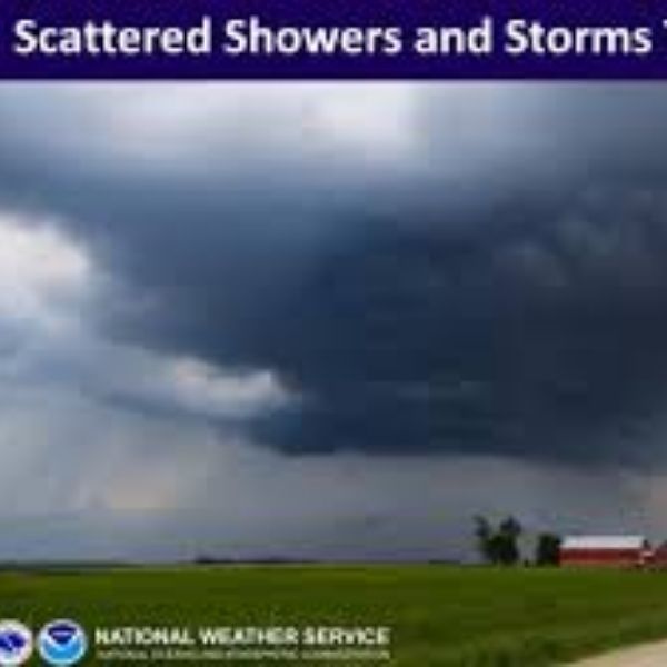
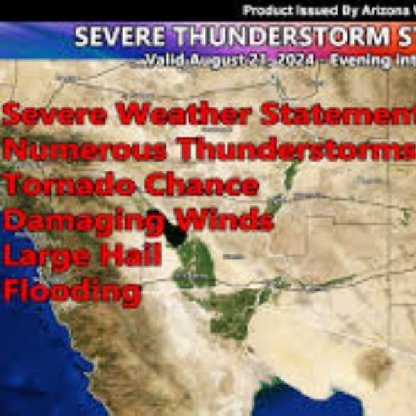
Tonight: After another hot and humid day with highs in the upper 80s and 90s, storms are expected to build across eastern Colorado and push into southwestern Nebraska and northwestern Kansas overnight. Some could turn strong to severe, with damaging winds and large hail as the main threats. Heavy rainfall may also trigger localized flash flooding. The most active period looks to be 10 p.m. to 5 a.m.. Lows fall into the 60s, with a few spots in southeastern Nebraska holding in the low 70s.
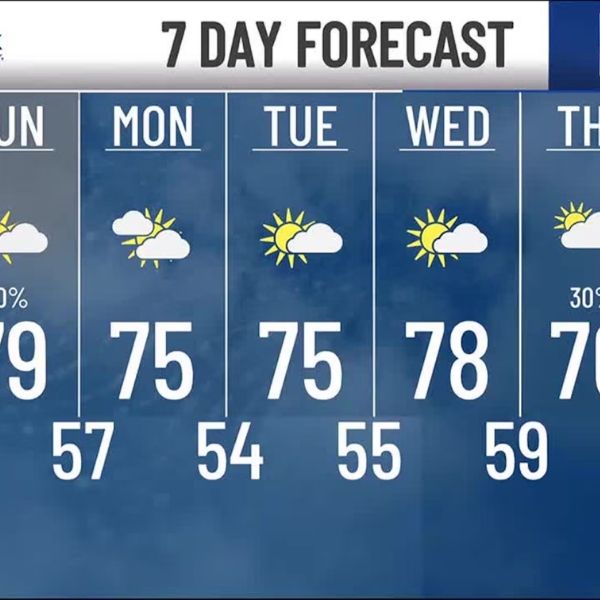
Tuesday–Thursday: Temperatures remain in the upper 80s to low 90s under mostly sunny skies. Winds stay light. Isolated showers or storms are possible Tuesday night, but most areas remain dry. Warm conditions continue through midweek with low chances for rain.
Friday: A cold front moves in during the afternoon. Highs could still reach the upper 80s ahead of it, but showers and storms may develop along and behind the front Friday night.
Weekend and Next Week: Cooler weather arrives Saturday with highs in the upper 70s to low 80s. More storms are possible Saturday night into Sunday morning, followed by mostly cloudy skies and cooler conditions. Highs stay in the 70s Sunday, then drop into the low 70s Monday through Wednesday with off-and-on showers. Below-average temperatures are expected to continue through late August.
This article has been carefully fact-checked by our editorial team to ensure accuracy and eliminate any misleading information. We are committed to maintaining the highest standards of integrity in our content.

Katie is a senior who has been on staff for three years. Her favorite type of stories to write is reviews and features. Katie’s favorite ice cream flavor is strawberry.


Leave a Reply