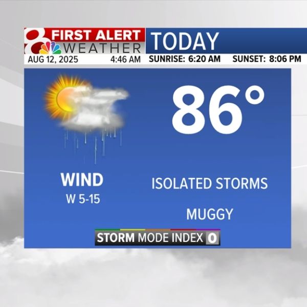
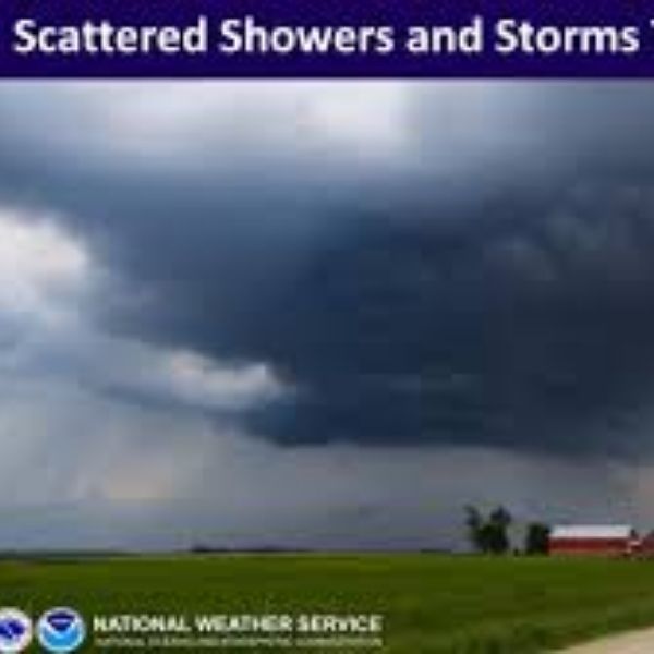
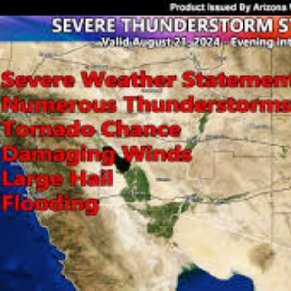
Today (Sunday):
We’re starting off cool and calm this morning, but temperatures will climb a bit higher than Saturday. Expect highs near 88–89° in Colorado Springs and the mid-to-upper 90s in Pueblo. A little moisture and energy in the atmosphere could spark a few isolated downpours and lightning strikes this afternoon. Chances aren’t as strong as Saturday’s, so most plans should go uninterrupted—just keep an eye out for lightning. Areas along Pueblo and Highway 50 should stay dry.
Tonight:
Skies quiet down as temperatures dip into the 50s and 60s.
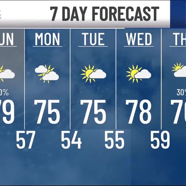
Monday:
A slight cooldown arrives, with highs in the low-to-mid 80s for Colorado Springs and around 90° in Pueblo. Showers and thunderstorms become more likely, though storms look scattered and non-severe. Don’t expect a washout, but coverage should be more widespread than Sunday.
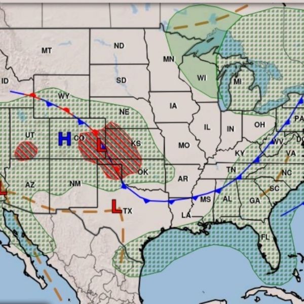
This Week:
High pressure rebuilds over the West starting Tuesday, bringing warmer and drier weather through midweek. Another cold front is expected next weekend, which will bring cooler air and a chance of unsettled conditions.

Katie is a senior who has been on staff for three years. Her favorite type of stories to write is reviews and features. Katie’s favorite ice cream flavor is strawberry.


Leave a Reply