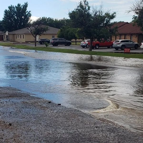
AMARILLO, Texas (KAMR/KCIT) — Scattered thunderstorms will continue across the Texas and Oklahoma Panhandles through early Wednesday, raising concerns about heavy rainfall and localized flooding.
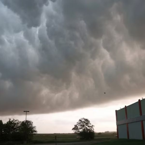
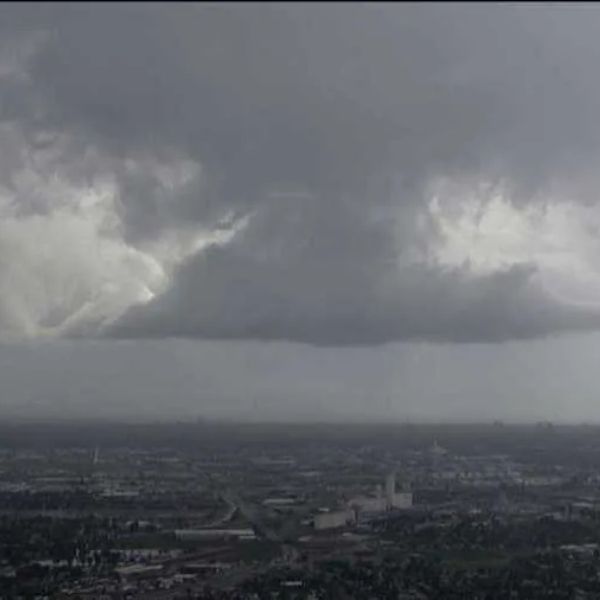
A plume of monsoon moisture is fueling the activity. While most storms will remain disorganized, they will still bring dangerous lightning and intense downpours. Some areas could pick up one to two inches of rain within an hour, making flash flooding a possibility.
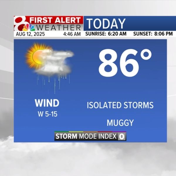
Temperatures will stay near 90 degrees through Monday, with storms most likely in the afternoon and evening, though some could develop overnight. Severe weather is not expected, but an isolated downburst remains possible.
Tuesday will bring more scattered storms before the pattern shifts midweek. A strong high-pressure system over the Four Corners is set to push a weak back-door front into the panhandles, ushering in drier air and cooler conditions. Rain chances should drop by Wednesday or Thursday, with highs slipping into the 80s as the weekend approaches.
The relief may be short-lived, however. Forecasters expect moisture to return by the weekend, bringing storm chances back to the region.

Katie is a senior who has been on staff for three years. Her favorite type of stories to write is reviews and features. Katie’s favorite ice cream flavor is strawberry.


Leave a Reply