Pueblo, CO – Southern Colorado is bracing for a scorching heat wave this week, with plains communities nearing triple-digit highs by Thursday, while the Rocky Mountains contend with daily afternoon thunderstorms. The National Weather Service (NWS) in Pueblo says the sharp temperature climb will be most pronounced east of the mountains, where dry conditions are set to linger.
Heat Intensifies Across the Plains
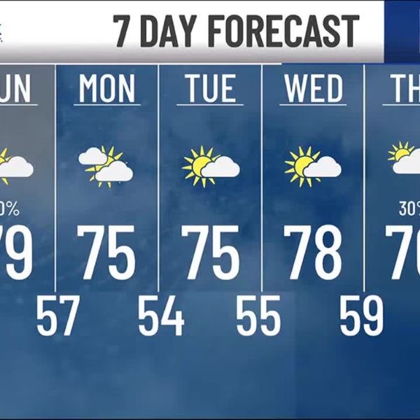
Tuesday’s forecast calls for sunny skies and highs between 82–88°F. By Wednesday, temperatures will surge to 89–97°F, peaking Thursday at 92–100°F in the plains.
Mountain valleys will stay cooler, topping out in the upper 70s to upper 80s. The central and southwest mountains face a 30–40% chance of afternoon storms each day.
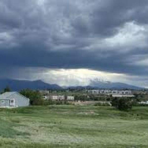
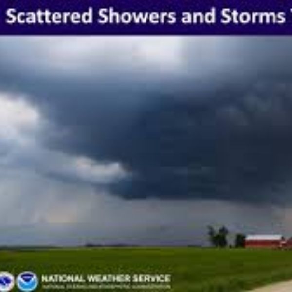
Storm Risks in Higher Terrain
The NWS warns that mountain weather can change quickly, especially in the afternoons, bringing lightning, heavy downpours, and gusty winds. Hikers and campers should monitor skies closely and take shelter at the first signs of storm development.
Heat Safety Reminders
Plains residents, outdoor workers, and anyone spending extended time outside should:
-
Drink plenty of water
-
Wear light, breathable clothing
-
Limit strenuous activity during peak heat hours
The combination of high heat and low humidity significantly raises the risk of heat-related illnesses.
Weekend Outlook
Lower elevations will remain warm and mostly dry into the weekend. Mountain regions will keep their daily storm pattern, with moisture possibly pushing storms eastward later in the week.
Weather officials will continue to monitor conditions and issue alerts if storm threats expand.

Katie is a senior who has been on staff for three years. Her favorite type of stories to write is reviews and features. Katie’s favorite ice cream flavor is strawberry.


Leave a Reply