HASTINGS, Neb. – After a warm day across the region with highs in the mid to upper 80s and low 90s, a cold front has moved through, setting the stage for scattered strong to severe storms tonight. Dew points remain high, in the upper 60s to low 70s, helping fuel storm development overnight.
The Storm Prediction Center has issued a slight risk (Level 2 of 5) for parts of western and southern Nebraska and northern Kansas tonight. Two main zones are being monitored for thunderstorm development:
-
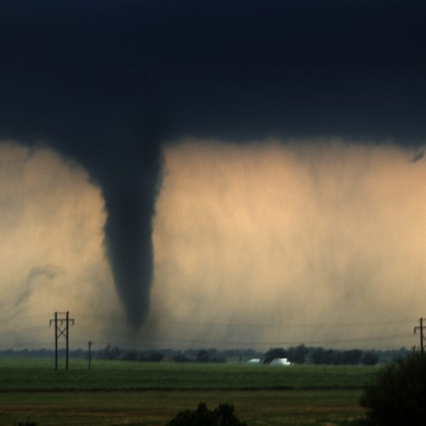
Southwest South Dakota into the Nebraska Panhandle and Eastern Colorado – Storms from eastern Colorado are expected to merge into a cluster of strong storms as they move into northwest Kansas and southwest Nebraska. These could bring wind gusts up to 75 mph, isolated large hail, and a brief tornado early in their life cycle.
-
Northwest Nebraska – This round will start as discrete storms with large hail and strong winds possible, but is expected to evolve into a damaging wind threat as it moves southeast.
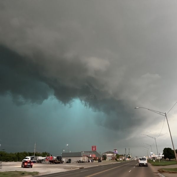
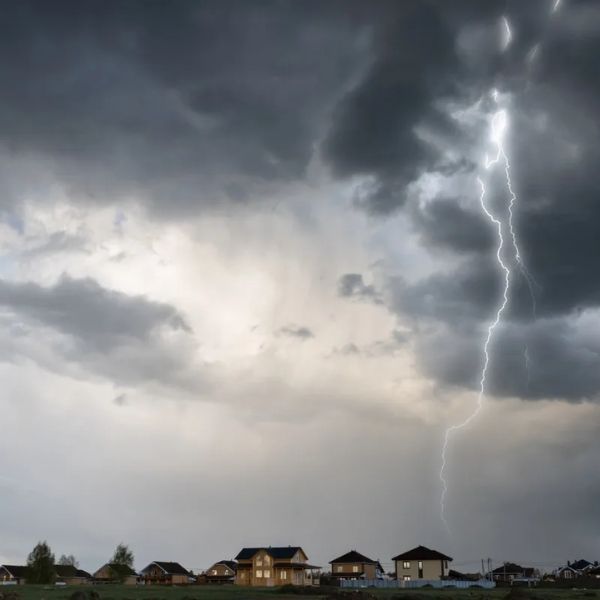
As the night progresses, damaging winds will become the primary concern, particularly if the two storm clusters merge over south-central Nebraska, potentially affecting the Tri-Cities. While the widespread severe threat is on the lower end, any storms that form may bring 50 mph winds, small hail, and localized flash flooding due to heavy rainfall, especially if storms stall.
Looking Ahead:
-
Tonight: Lows in the 60s with breezy winds early, calming overnight.
-
Monday: The coolest day of the week with highs in the low 80s north and mid 80s south.
-
Tuesday: Warmer again, with highs in the upper 80s to low 90s.
-
Wednesday–Friday: Mostly dry and sunny with widespread 90s and breezy conditions.
Fourth of July Outlook: Expect temperatures in the upper 80s to low 90s. A disturbance may move in during the afternoon, bringing clouds and potential thunderstorms by the evening.
Next Weekend and Beyond: Daily storm chances continue into the weekend with highs in the upper 80s, gradually climbing back into the low 90s the following week along with more evening thunderstorm chances.


Leave a Reply