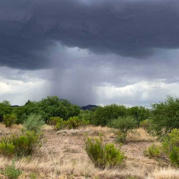
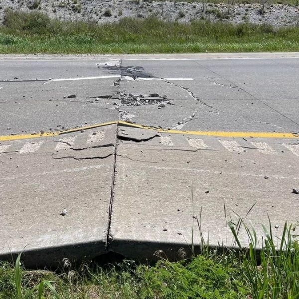
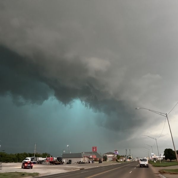
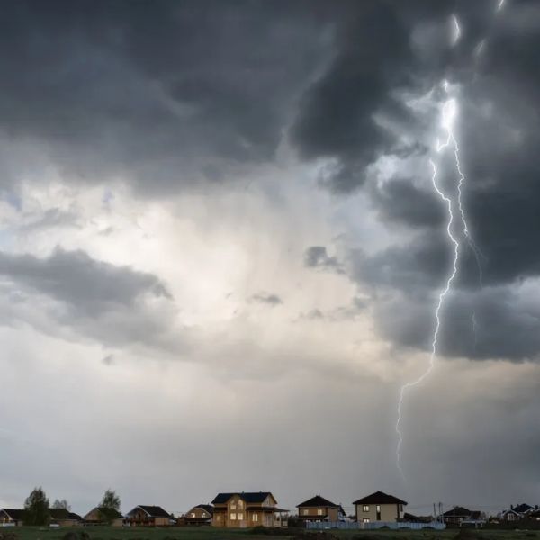
Cheyenne, Wyo. — A powerful line of storms is sweeping across the High Plains Sunday, bringing the threat of tennis ball-sized hail and 70 mph wind gusts to parts of Colorado, Wyoming, Nebraska, and South Dakota through 9 p.m.
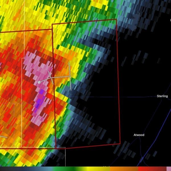
The National Weather Service and Storm Prediction Center have issued a Severe Thunderstorm Watch for northeast Colorado, eastern Wyoming, western Nebraska, and southwest South Dakota. Storm clusters are expected to develop across central Colorado and eastern Wyoming this afternoon and move eastward into the evening.
Residents in cities like Cheyenne, Fort Collins, Scottsbluff, and Sterling should brace for damaging winds, frequent lightning, and hail as large as 2.5 inches. Major highways — including I-25, I-76, and I-80 — could experience reduced visibility, flying debris, and hazardous travel conditions. Officials are urging people to delay unnecessary travel and secure any loose outdoor items.
The watch covers over 3.5 million residents, along with more than 1,000 schools and 77 hospitals, making it one of the most widespread severe weather threats in the region this June.
Storms could continue or redevelop overnight. Stay updated with NOAA Weather Radio or local alerts for further warnings.


Leave a Reply